
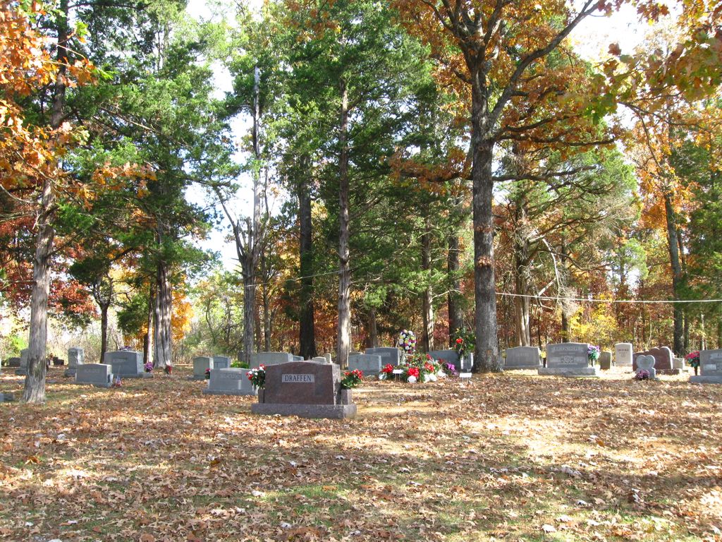
| Memorials | : | 1 |
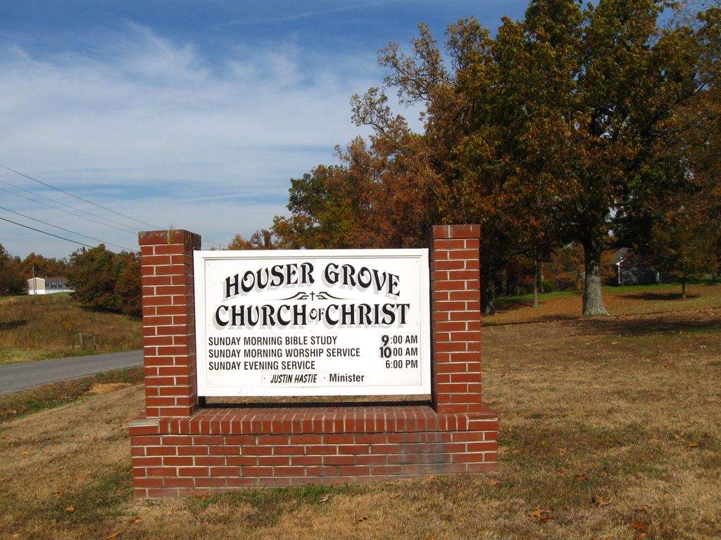
| Location | : | Paducah, McCracken County, USA |
| Coordinate | : | 36.9567833, -88.6445618 |
frequently asked questions (FAQ):
-
Where is Houser Grove Church of Christ Cemetery?
Houser Grove Church of Christ Cemetery is located at Paducah, McCracken County ,Kentucky ,USA.
-
Houser Grove Church of Christ Cemetery cemetery's updated grave count on graveviews.com?
1 memorials
-
Where are the coordinates of the Houser Grove Church of Christ Cemetery?
Latitude: 36.9567833
Longitude: -88.6445618
Nearby Cemetories:
1. Dunaway Cemetery
McCracken County, USA
Coordinate: 36.9622002, -88.6521988
2. Johnson Cemetery
McCracken County, USA
Coordinate: 36.9618988, -88.6624985
3. Straub Cemetery
McCracken County, USA
Coordinate: 36.9432983, -88.6539001
4. Gore Cemetery
Saint Johns, McCracken County, USA
Coordinate: 36.9479710, -88.6274400
5. Houser-Harper Cemetery
McCracken County, USA
Coordinate: 36.9757996, -88.6438980
6. Houser Cemetery
McCracken County, USA
Coordinate: 36.9757996, -88.6438980
7. Woodlawn Memorial Gardens
Paducah, McCracken County, USA
Coordinate: 36.9585991, -88.6744003
8. Saint John Catholic Church Cemetery
Saint Johns, McCracken County, USA
Coordinate: 36.9666090, -88.6721560
9. Thompson Cemetery
McCracken County, USA
Coordinate: 36.9644012, -88.6132965
10. Harper Cemetery
Paducah, McCracken County, USA
Coordinate: 36.9832200, -88.6468360
11. Colliers Cemetery
Saint Johns, McCracken County, USA
Coordinate: 36.9536300, -88.6789920
12. Purchase Cemetery
Saint Johns, McCracken County, USA
Coordinate: 36.9639015, -88.6896973
13. Jones Cemetery
McCracken County, USA
Coordinate: 36.9939003, -88.6438980
14. Mount Pleasant Cemetery
Boaz, Graves County, USA
Coordinate: 36.9248795, -88.6161303
15. Sunny Slope Cemetery
Paducah, McCracken County, USA
Coordinate: 36.9933850, -88.6191560
16. Switzer Cemetery
McCracken County, USA
Coordinate: 36.9942017, -88.6207962
17. McNeill Cemetery
Graves County, USA
Coordinate: 36.9139470, -88.6457220
18. McNeil Cemetery
McCracken County, USA
Coordinate: 36.9136009, -88.6453018
19. Gardner Cemetery
Hendron, McCracken County, USA
Coordinate: 37.0003762, -88.6193163
20. Jones Cemetery
McCracken County, USA
Coordinate: 37.0005905, -88.6195249
21. Hardmoney Baptist Church Cemetery
Boaz, Graves County, USA
Coordinate: 36.9424190, -88.5839870
22. Nall Cemetery
Folsomdale, Graves County, USA
Coordinate: 36.9109170, -88.6733330
23. German Babb Cemetery
Paducah, McCracken County, USA
Coordinate: 37.0037950, -88.6147890
24. Saint Matthew Cemetery
Lone Oak, McCracken County, USA
Coordinate: 37.0088997, -88.6656036