| Memorials | : | 0 |
| Location | : | Gloversville, Fulton County, USA |
| Coordinate | : | 43.0420950, -74.2631570 |
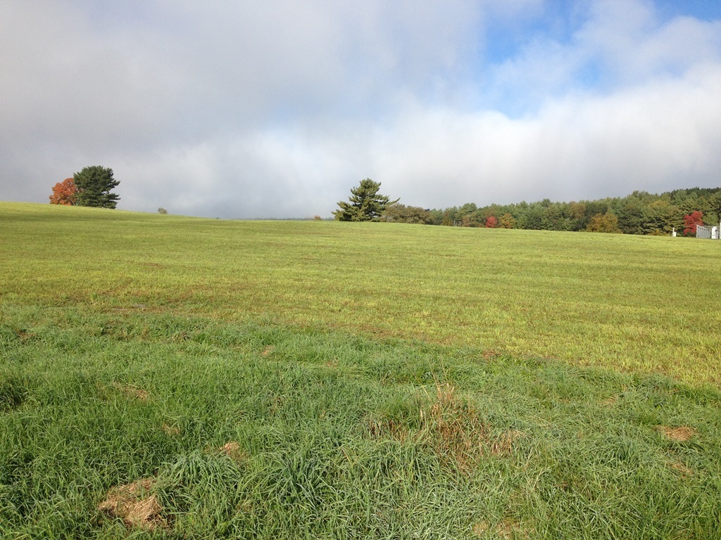
| Description | : | This is a burial ground in a field just up the hill from the Canary farm buildings on the north side of 1750 State Highway 29 east of Gloversville, NY. There may be 3 or 4 stones but only one with two names has been found so far. The stone is down and partly covered with sod so one looking at the field from a distance would not know the gravestone is there. It is on private property. |
frequently asked questions (FAQ):
-
Where is Howland Farmview Burial Ground?
Howland Farmview Burial Ground is located at 1750 State Highway 29 (northside) Gloversville, Fulton County ,New York , 12078-6760USA.
-
Howland Farmview Burial Ground cemetery's updated grave count on graveviews.com?
0 memorials
-
Where are the coordinates of the Howland Farmview Burial Ground?
Latitude: 43.0420950
Longitude: -74.2631570
Nearby Cemetories:
1. Vail Mills Cemetery
Fulton County, USA
Coordinate: 43.0523900, -74.2136000
2. Deming Cemetery
Perth, Fulton County, USA
Coordinate: 42.9959400, -74.2617500
3. Potter's Field Cemetery
Gloversville, Fulton County, USA
Coordinate: 43.0469400, -74.3282700
4. Broadalbin-Mayfield Rural Cemetery
Broadalbin, Fulton County, USA
Coordinate: 43.0664110, -74.2055870
5. Knesseth Israel Cemetery
Gloversville, Fulton County, USA
Coordinate: 43.0471992, -74.3305969
6. Prospect Hill Cemetery
Gloversville, Fulton County, USA
Coordinate: 43.0457993, -74.3349991
7. Riceville Cemetery
Mayfield, Fulton County, USA
Coordinate: 43.0931000, -74.2823000
8. Perth Cemetery
Perth, Fulton County, USA
Coordinate: 43.0180780, -74.1914030
9. Kingsborough Cemetery
Gloversville, Fulton County, USA
Coordinate: 43.0676100, -74.3361800
10. Union Rural Cemetery
Mayfield, Fulton County, USA
Coordinate: 43.1026300, -74.2634100
11. Clark Family Cemetery
Broadalbin, Fulton County, USA
Coordinate: 43.0586080, -74.1829810
12. Woodworth Cemetery
Mayfield, Fulton County, USA
Coordinate: 43.1049030, -74.2771390
13. Hageman Cemetery
Fulton County, USA
Coordinate: 43.0355988, -74.1663971
14. Sixth Principle Baptist Church Cemetery
Broadalbin, Fulton County, USA
Coordinate: 43.0359600, -74.1655250
15. Mount Carmel Cemetery
Johnstown, Fulton County, USA
Coordinate: 43.0144005, -74.3550034
16. Ferndale Cemetery
Johnstown, Fulton County, USA
Coordinate: 43.0353012, -74.3630981
17. Saint Anthonys Cemetery
Johnstown, Fulton County, USA
Coordinate: 43.0133018, -74.3566971
18. Bolebruch Farm Burying Grounds
Gloversville, Fulton County, USA
Coordinate: 43.0915360, -74.3391987
19. Saint Patricks Cemetery
Johnstown, Fulton County, USA
Coordinate: 43.0022011, -74.3557968
20. Kline Cemetery
Tribes Hill, Montgomery County, USA
Coordinate: 42.9608002, -74.2683029
21. Saint Joseph's Cemetery
Fort Johnson, Montgomery County, USA
Coordinate: 42.9599991, -74.2482986
22. Johnstown Cemetery
Johnstown, Fulton County, USA
Coordinate: 43.0101800, -74.3701900
23. Berry Family Cemetery
Mayfield, Fulton County, USA
Coordinate: 43.1268520, -74.2661940
24. Dennie's Hollow Cemetery
Mayfield, Fulton County, USA
Coordinate: 43.1269989, -74.2649994

