| Memorials | : | 0 |
| Location | : | Stickney, Carleton County, Canada |
| Coordinate | : | 46.3884120, -67.5803780 |
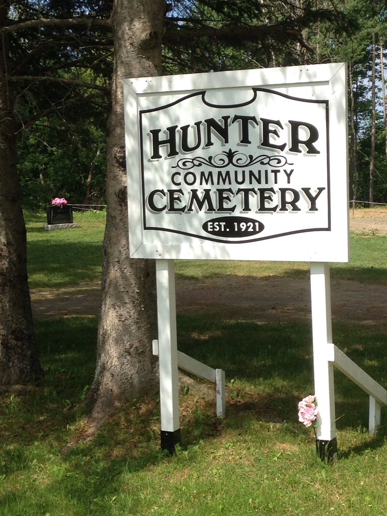
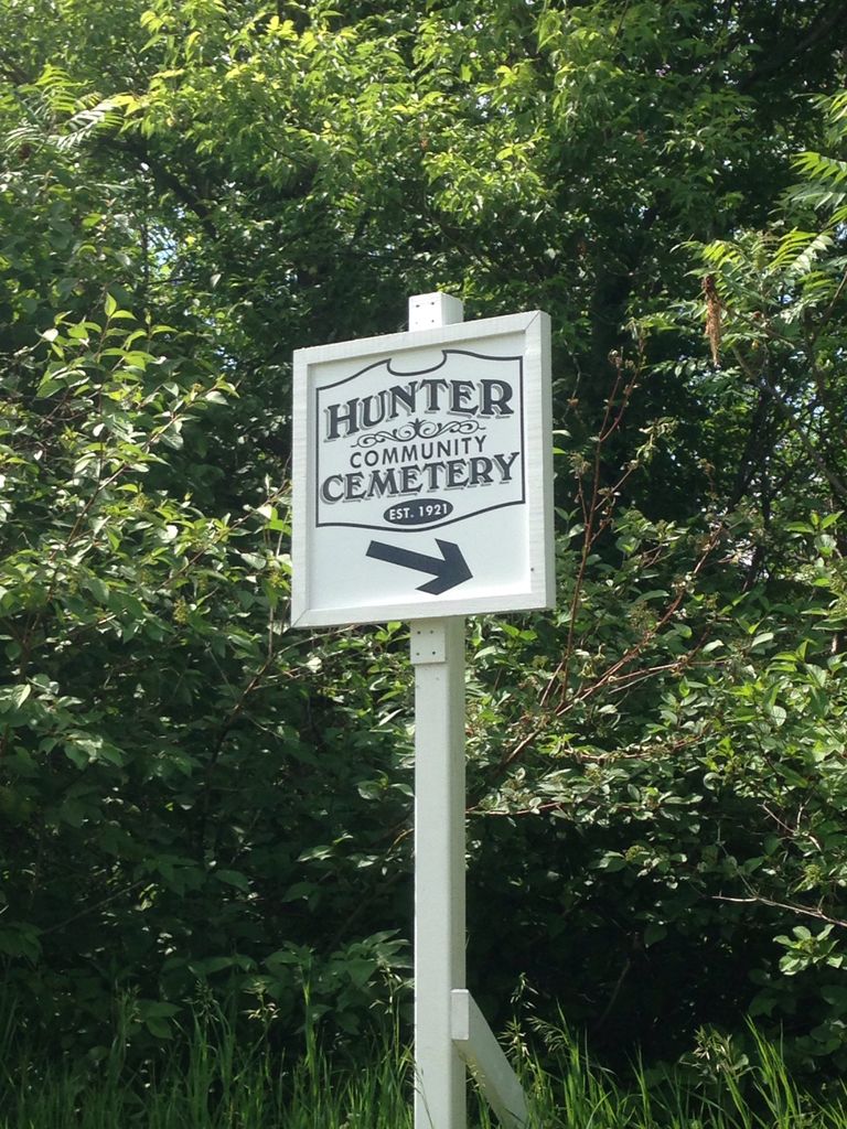
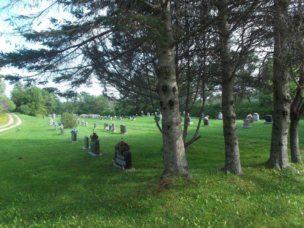
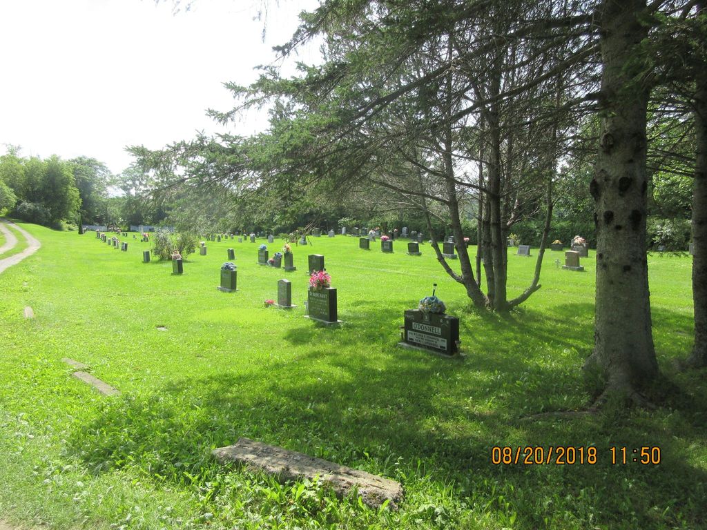
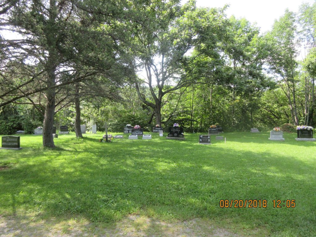
| Description | : | The Hunter Community Cemetery is located in Stickney, NB and is also known as the "Stickney Cemetery". If you are coming from Florenceville on Highway 105, the entrance is located on the river side of the road just before 8055 Route 105. |
frequently asked questions (FAQ):
-
Where is Hunter Community Cemetery?
Hunter Community Cemetery is located at Route 105 Stickney, Carleton County ,New Brunswick , E7LCanada.
-
Hunter Community Cemetery cemetery's updated grave count on graveviews.com?
0 memorials
-
Where are the coordinates of the Hunter Community Cemetery?
Latitude: 46.3884120
Longitude: -67.5803780
Nearby Cemetories:
1. Oakland Community Cemetery
Oakland, Carleton County, Canada
Coordinate: 46.3978500, -67.5664100
2. Connell Garrison Burying Ground
Connell, Carleton County, Canada
Coordinate: 46.3971600, -67.6108000
3. Simonds Upper Cemetery
Simonds, Carleton County, Canada
Coordinate: 46.3579060, -67.5640420
4. Harmon Cemetery
Peel, Carleton County, Canada
Coordinate: 46.3520565, -67.5545527
5. East Florenceville Cemetery
Florenceville-Bristol, Carleton County, Canada
Coordinate: 46.4228510, -67.6136030
6. Connell Cemetery
Connell, Carleton County, Canada
Coordinate: 46.4197240, -67.6206290
7. Lansdowne Church Cemetery
Lansdowne, Carleton County, Canada
Coordinate: 46.3852060, -67.5183310
8. Charleston Cemetery
Charleston, Carleton County, Canada
Coordinate: 46.3762560, -67.6437790
9. Florenceville Cemetery
Florenceville, Carleton County, Canada
Coordinate: 46.4282780, -67.6234260
10. Simonds Lower Cemetery
Simonds, Carleton County, Canada
Coordinate: 46.3338000, -67.5545300
11. United Church Community Cemetery
Florenceville-Bristol, Carleton County, Canada
Coordinate: 46.4427372, -67.6145760
12. East Florenceville United Baptist Cemetery
Florenceville-Bristol, Carleton County, Canada
Coordinate: 46.4420270, -67.6186800
13. Florenceville Congregational Cemetery
Florenceville, Carleton County, Canada
Coordinate: 46.4401300, -67.6269900
14. East Florenceville Anglican Cemetery
Florenceville-Bristol, Carleton County, Canada
Coordinate: 46.4436080, -67.6180850
15. Upper Brighton Cemetery
Upper Brighton, Carleton County, Canada
Coordinate: 46.3295900, -67.5446700
16. St. Leo's Catholic Church Cemetery
Florenceville, Carleton County, Canada
Coordinate: 46.4443320, -67.6311910
17. Old McCain Cemetery
Florenceville, Carleton County, Canada
Coordinate: 46.4542710, -67.6167580
18. Mount Pleasant Cemetery
Mount Pleasant, Carleton County, Canada
Coordinate: 46.3925300, -67.4743800
19. Bristol Community Cemetery
Florenceville-Bristol, Carleton County, Canada
Coordinate: 46.4661420, -67.5732070
20. Bristol Old Cemetery
Florenceville-Bristol, Carleton County, Canada
Coordinate: 46.4662680, -67.5852480
21. Greenfield Cemetery
Wicklow, Carleton County, Canada
Coordinate: 46.4582068, -67.6370988
22. Williamstown Cemetery
Bradley Corner, Carleton County, Canada
Coordinate: 46.3756420, -67.6982140
23. Bannon Cemetery
Carleton, Carleton County, Canada
Coordinate: 46.3699220, -67.4637000
24. Pioneer Methodist Cemetery
Carleton County, Canada
Coordinate: 46.3815804, -67.6998596

