
| Memorials | : | 0 |
| Location | : | Lone Rock, Baxter County, USA |
| Coordinate | : | 36.1825020, -92.3076440 |
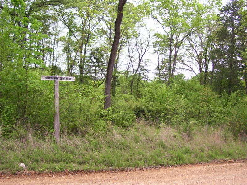
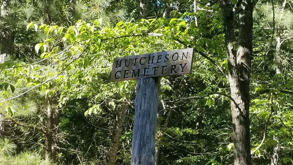
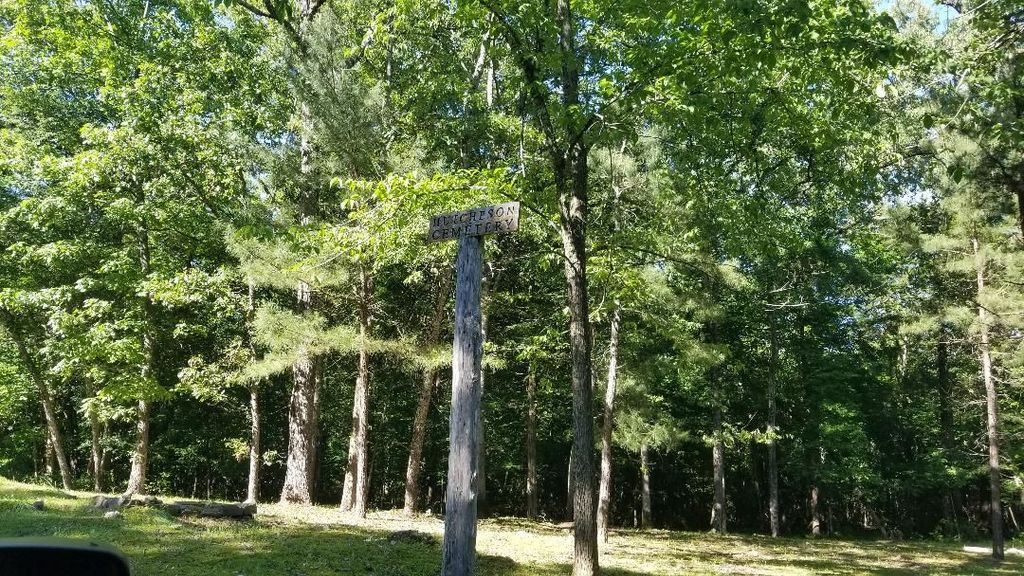
| Description | : | The Hutcheson Cemetery is on the west side of White River, south of Norfork. The cemetery is three miles south of Arkansas 344 (Push Mountain Road) near the southern end of the Martin Springs Road (CR 108). It is in the edge of the White River Bottoms near the lower end of the Rapids, also known as the Steamboat Rapids. It is on land that was originally part of the Hutcheson Farm. The cemetery has probably not had any new interments since the first decade of the twentieth century. There are only three tombstones in the cemetery, but there is also... Read More |
frequently asked questions (FAQ):
-
Where is Hutcheson Cemetery?
Hutcheson Cemetery is located at Lone Rock, Baxter County ,Arkansas ,USA.
-
Hutcheson Cemetery cemetery's updated grave count on graveviews.com?
0 memorials
-
Where are the coordinates of the Hutcheson Cemetery?
Latitude: 36.1825020
Longitude: -92.3076440
Nearby Cemetories:
1. Martin Springs Cemetery
Norfork, Baxter County, USA
Coordinate: 36.1955250, -92.3030090
2. Cockrum Cemetery
Lone Rock, Baxter County, USA
Coordinate: 36.1797310, -92.3352810
3. Norfork Cemetery
Norfork, Baxter County, USA
Coordinate: 36.2042007, -92.2842026
4. Lone Rock Cemetery
Baxter County, USA
Coordinate: 36.1847000, -92.3475037
5. Lucy Martin Cemetery
Norfork, Baxter County, USA
Coordinate: 36.2222748, -92.3056717
6. Martin Cemetery
Baxter County, USA
Coordinate: 36.2230988, -92.3028030
7. Burnt School House Cemetery
Lone Rock, Baxter County, USA
Coordinate: 36.1697006, -92.3600006
8. Wolf Cemetery
Herron, Baxter County, USA
Coordinate: 36.1619930, -92.2576900
9. Beuhler Springs Cemetery
McPhearson, Baxter County, USA
Coordinate: 36.1366959, -92.2914200
10. Galatia Cemetery
Norfork, Baxter County, USA
Coordinate: 36.1925011, -92.2433014
11. Arkana Cemetery
Arkana, Baxter County, USA
Coordinate: 36.2416992, -92.3246994
12. Sale Family Cemetery
Norfork, Baxter County, USA
Coordinate: 36.2411090, -92.2755700
13. Harris Cemetery
McPhearson, Baxter County, USA
Coordinate: 36.1357956, -92.2515564
14. Curtis Cemetery
McPhearson, Baxter County, USA
Coordinate: 36.1156006, -92.3011017
15. Ward Family Cemetery
Baxter County, USA
Coordinate: 36.2484550, -92.2499660
16. Cantrell Brewer Cemetery
Advance, Baxter County, USA
Coordinate: 36.1454315, -92.3966064
17. Lawson Cemetery
Hopewell, Baxter County, USA
Coordinate: 36.2039000, -92.2101500
18. Table Rock Cemetery
Baxter County, USA
Coordinate: 36.1225014, -92.2380981
19. Table Rock Cemetery
Stone County, USA
Coordinate: 36.1225014, -92.2378006
20. Lawson Orchard Cemetery
Hopewell, Baxter County, USA
Coordinate: 36.2107670, -92.2100830
21. Talley Cemetery
Izard County, USA
Coordinate: 36.1366997, -92.2082977
22. Hensley Smith Cemetery
Baxter County, USA
Coordinate: 36.2602900, -92.3948900
23. Hart Cemetery
Mountain Home, Baxter County, USA
Coordinate: 36.2900009, -92.3261032
24. Fairview Cemetery
Buford, Baxter County, USA
Coordinate: 36.2559016, -92.4096039