| Memorials | : | 0 |
| Location | : | Chase County, USA |
| Coordinate | : | 38.2924800, -96.7594600 |
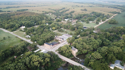
| Description | : | This cemetery was established in Cottonwood Township on property owned by A. R. (Adam Rufus) Ice, about 1880. Originally a family cemetery, it soon transitioned to a community burial ground for the rural area between Clements and Cedar Point. The cemetery is now land-locked - surrounded by private property - and is located on the north side of Highway 50, approximately 15 miles southwest of Strong City, Kansas. The legal land description is the west 1/2 of the southwest 1/4 of the northwest 1/4 of the southeast 1/4 of the southwest 1/4 of section... Read More |
frequently asked questions (FAQ):
-
Where is Ice Cemetery?
Ice Cemetery is located at Chase County ,Kansas ,USA.
-
Ice Cemetery cemetery's updated grave count on graveviews.com?
0 memorials
-
Where are the coordinates of the Ice Cemetery?
Latitude: 38.2924800
Longitude: -96.7594600
Nearby Cemetories:
1. Clements Cemetery
Clements, Chase County, USA
Coordinate: 38.3040900, -96.7438800
2. Drinkwater Cemetery
Cedar Point, Chase County, USA
Coordinate: 38.2619019, -96.8236008
3. Montgomery Cemetery
Chase County, USA
Coordinate: 38.3196983, -96.8364029
4. Cedar Point Cemetery
Cedar Point, Chase County, USA
Coordinate: 38.2397003, -96.8253021
5. Homestead Cemetery
Chase County, USA
Coordinate: 38.2022018, -96.6952972
6. Griffith Cemetery
Chase County, USA
Coordinate: 38.1913986, -96.8118973
7. Elmdale Cemetery
Elmdale, Chase County, USA
Coordinate: 38.3778000, -96.6628036
8. Grant Cemetery
Marion, Marion County, USA
Coordinate: 38.3619003, -96.8843994
9. Elk Cemetery
Elmdale, Chase County, USA
Coordinate: 38.4138985, -96.7844009
10. Hillcrest Cemetery
Florence, Marion County, USA
Coordinate: 38.2532997, -96.9282990
11. Wonsevu Cemetery
Chase County, USA
Coordinate: 38.1547012, -96.7863998
12. Allison Cemetery
Florence, Marion County, USA
Coordinate: 38.2238998, -96.9328003
13. Harter Cemetery
Marion, Marion County, USA
Coordinate: 38.3699989, -96.9483032
14. McDowall Cemetery
Strong City, Chase County, USA
Coordinate: 38.4059860, -96.6022720
15. Mount Calvary Cemetery
Florence, Marion County, USA
Coordinate: 38.2303009, -96.9589005
16. Bazaar Cemetery
Bazaar, Chase County, USA
Coordinate: 38.2717018, -96.5449982
17. Simmons Cemetery
Strong City, Chase County, USA
Coordinate: 38.3988991, -96.5849991
18. Prairie Grove Cemetery
Cottonwood Falls, Chase County, USA
Coordinate: 38.3741989, -96.5639038
19. Lawless Cemetery
Strong City, Chase County, USA
Coordinate: 38.4496700, -96.6630200
20. Saint Anthony Cemetery
Strong City, Chase County, USA
Coordinate: 38.4056015, -96.5547028
21. Sharps Creek Cemetery
Bazaar, Chase County, USA
Coordinate: 38.2481400, -96.5123400
22. Marion Cemetery
Marion, Marion County, USA
Coordinate: 38.3514800, -97.0060900
23. Matfield Green Cemetery
Matfield Green, Chase County, USA
Coordinate: 38.1519012, -96.5578003
24. Strong Township Cemetery
Strong City, Chase County, USA
Coordinate: 38.3983002, -96.5222015

