
| Memorials | : | 20 |
| Location | : | McCone County, USA |
| Coordinate | : | 47.6835000, -105.4920000 |
frequently asked questions (FAQ):
-
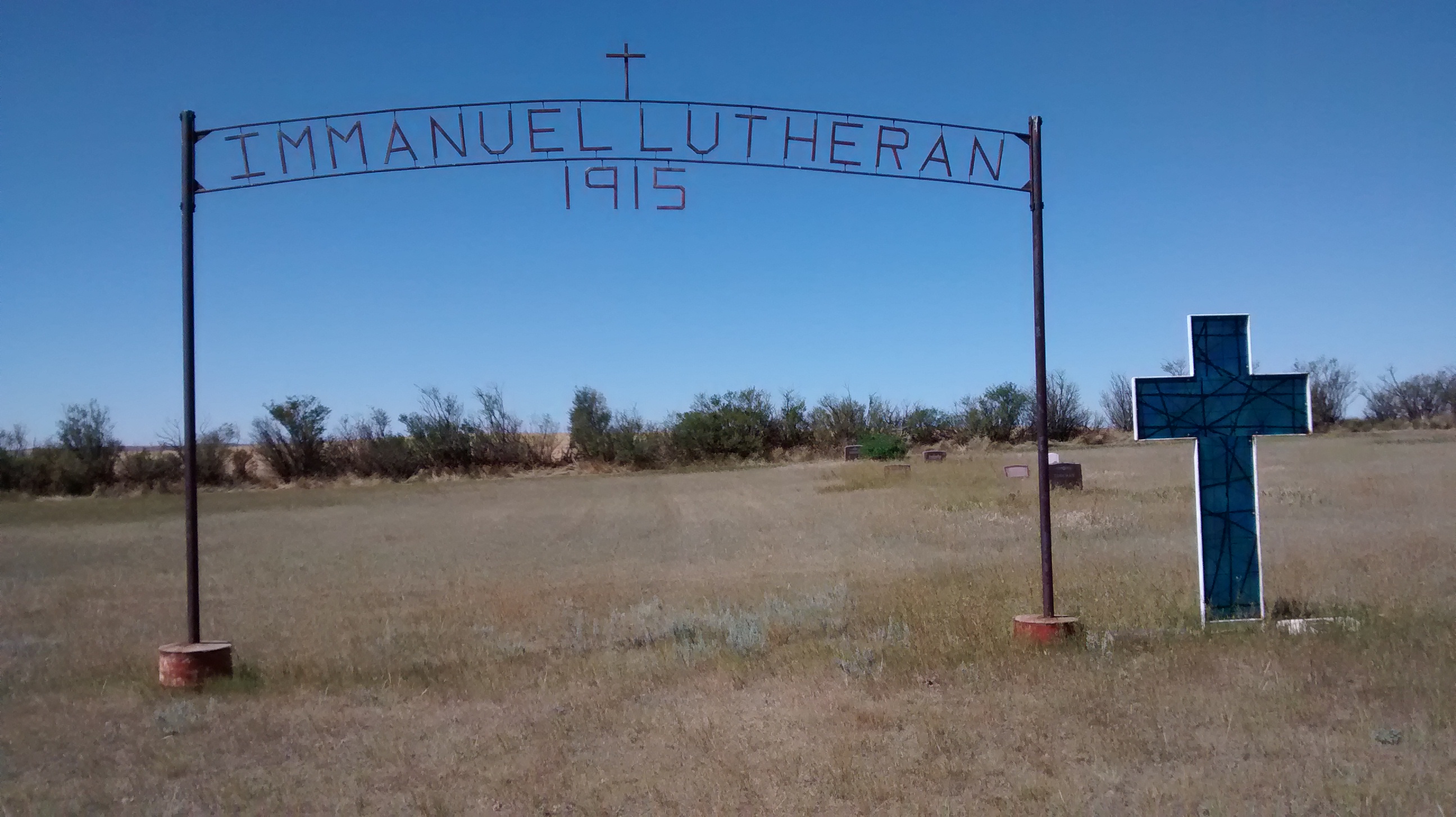
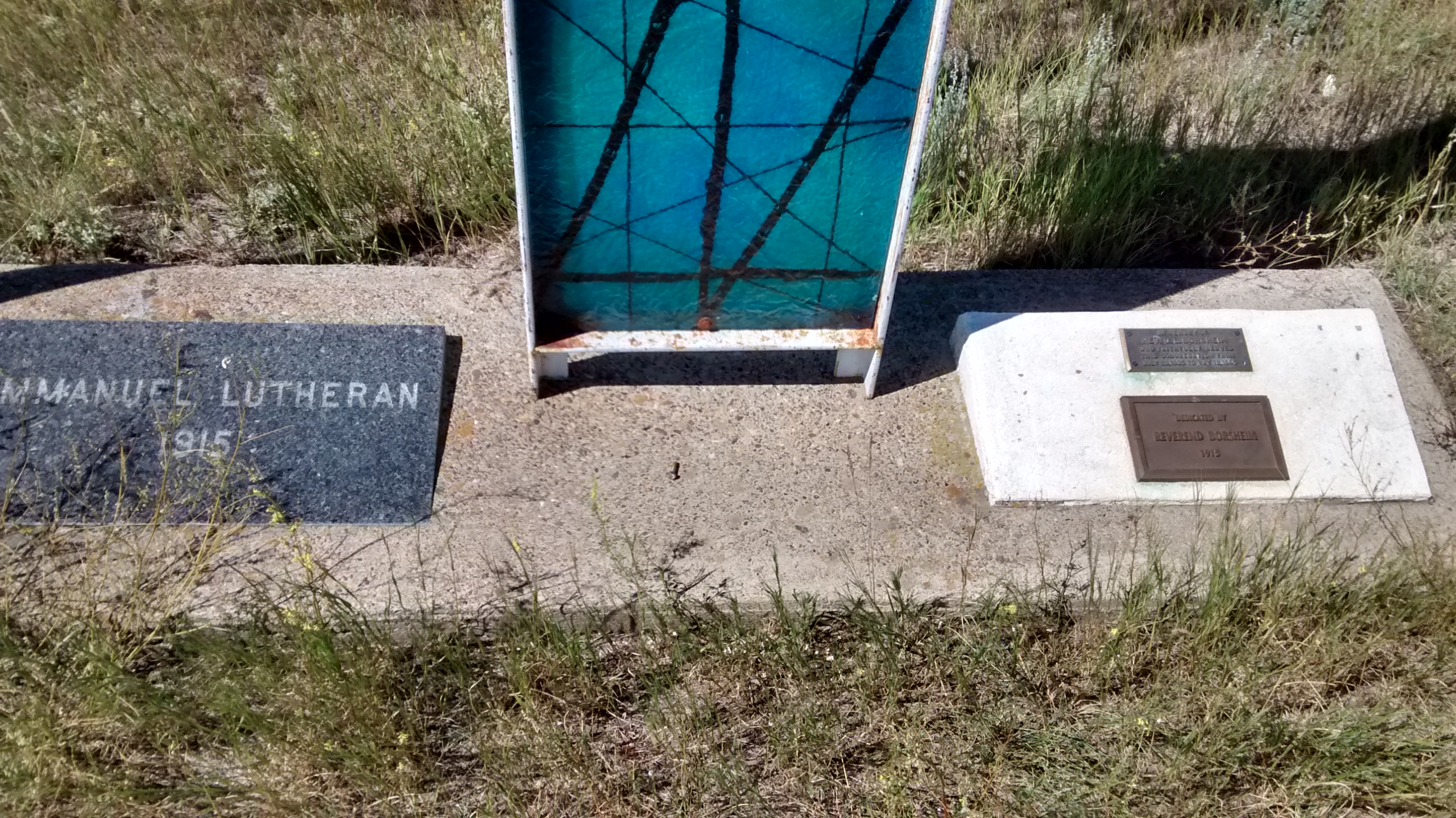
Where is Immanuel Lutheran Cemetery?
Immanuel Lutheran Cemetery is located at McCone County ,Montana ,USA.
-
Immanuel Lutheran Cemetery cemetery's updated grave count on graveviews.com?
20 memorials
-
Where are the coordinates of the Immanuel Lutheran Cemetery?
Latitude: 47.6835000
Longitude: -105.4920000

Nearby Cemetories:
1. Cow Creek Cemetery
McCone County, USA
Coordinate: 47.7181015, -105.5117035
2. Prairie Lawn Cemetery
Dawson County, USA
Coordinate: 47.7611008, -105.3422012
3. Holy Eucharist Cemetery
McCone County, USA
Coordinate: 47.7902985, -105.5994034
4. Vida Cemetery
McCone County, USA
Coordinate: 47.8333015, -105.4685974
5. Ervine Cemetery
McCone County, USA
Coordinate: 47.7574997, -105.7577972
6. Arnett Cemetery
Dawson County, USA
Coordinate: 47.4542007, -105.3638992
7. Riverside Cemetery
McCone County, USA
Coordinate: 47.8972015, -105.2835999
8. Sacred Heart Catholic Cemetery
Vida, McCone County, USA
Coordinate: 47.8976000, -105.2840000
9. Riverview Cemetery
Circle, McCone County, USA
Coordinate: 47.4056015, -105.5764008
10. Richey Cemetery
Richey, Dawson County, USA
Coordinate: 47.6542015, -105.0417023
11. Prairie Elk Cemetery
Wolf Point, Roosevelt County, USA
Coordinate: 47.9040851, -105.8199363
12. Grandview Cemetery
Richland County, USA
Coordinate: 47.9556007, -105.1343994
13. Nickwall Cemetery
Nickwall, McCone County, USA
Coordinate: 48.0497017, -105.3007965
14. Prairie Elk Colony Cemetery
McCone County, USA
Coordinate: 48.0159000, -105.7970000
15. Chicken Hill Cemetery
Roosevelt County, USA
Coordinate: 48.0685997, -105.7193985
16. Courchene Cemetery
Wolf Point, Roosevelt County, USA
Coordinate: 48.0993996, -105.5927963
17. Brost Cemetery
McCone County, USA
Coordinate: 47.2971992, -105.7457962
18. Brockway Cemetery
McCone County, USA
Coordinate: 47.2963982, -105.7514038
19. West Church Cemetery
Dawson County, USA
Coordinate: 47.3266983, -105.1502991
20. King Memorial Cemetery
Wolf Point, Roosevelt County, USA
Coordinate: 48.0950012, -105.6524963
21. Greenwood Cemetery
Wolf Point, Roosevelt County, USA
Coordinate: 48.1035995, -105.6500015
22. Oswego Presbyterian Cemetery
Oswego, Valley County, USA
Coordinate: 48.0428140, -105.8675410
23. Oswego Catholic Cemetery
Oswego, Valley County, USA
Coordinate: 48.0480230, -105.8586070
24. Bethlehem Mennonite Cemetery
Bloomfield, Dawson County, USA
Coordinate: 47.5280000, -104.8747000