
| Memorials | : | 0 |
| Location | : | Montauk, Suffolk County, USA |
| Coordinate | : | 41.0657110, -71.9122220 |
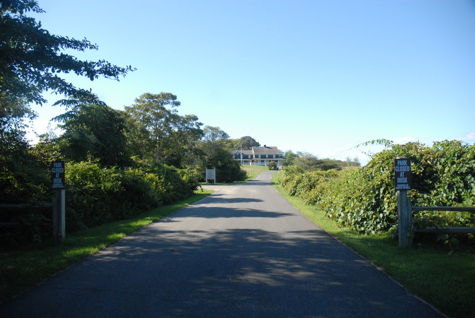
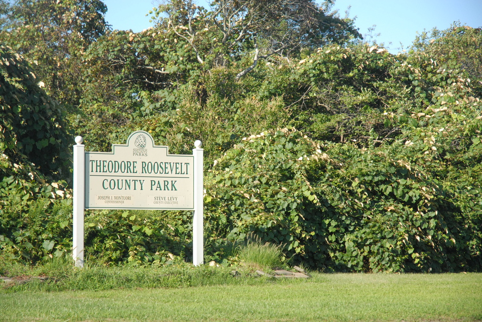
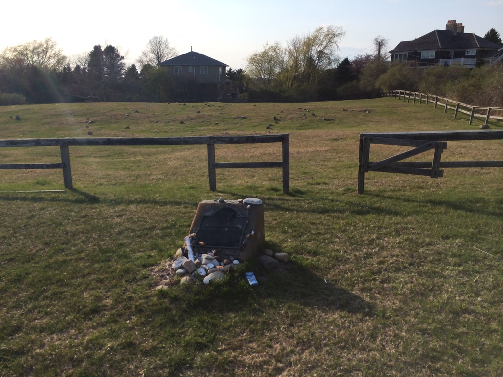
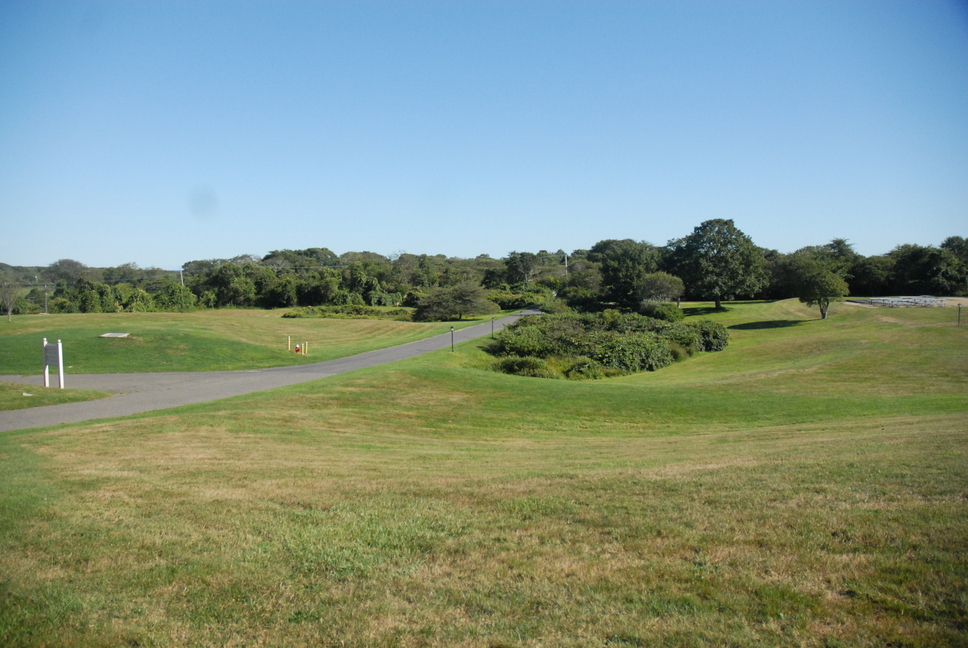
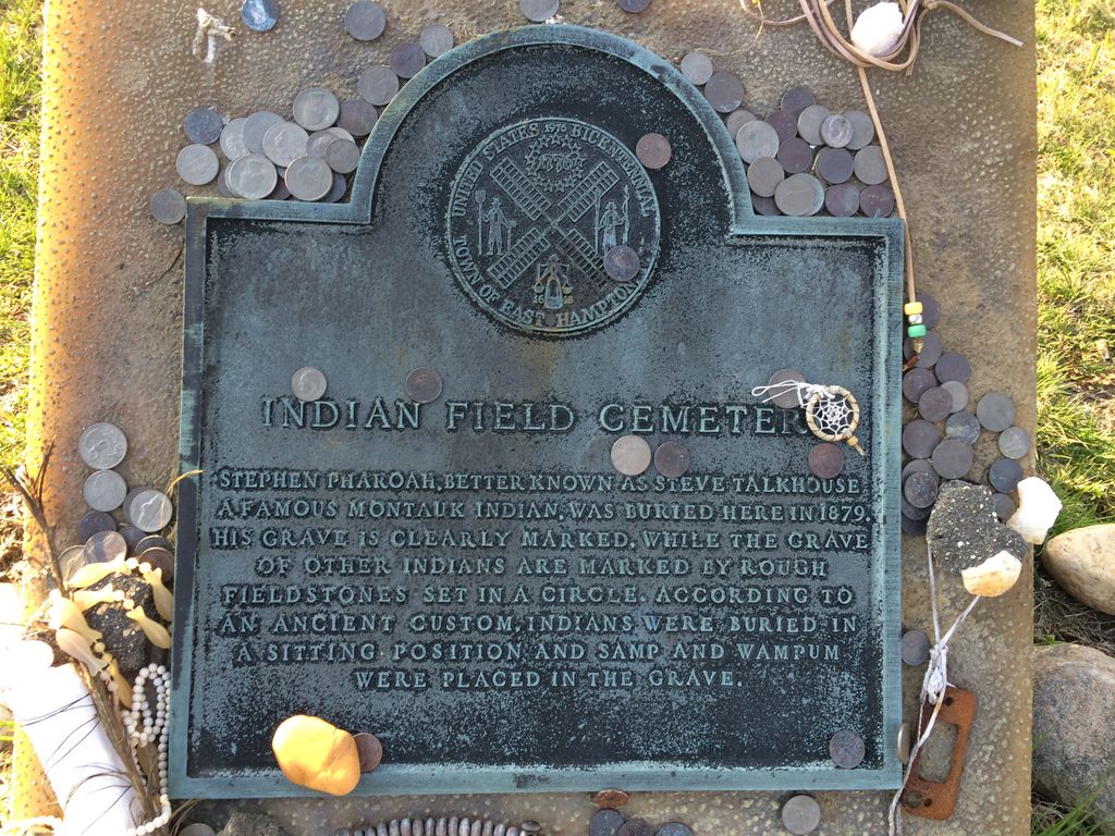
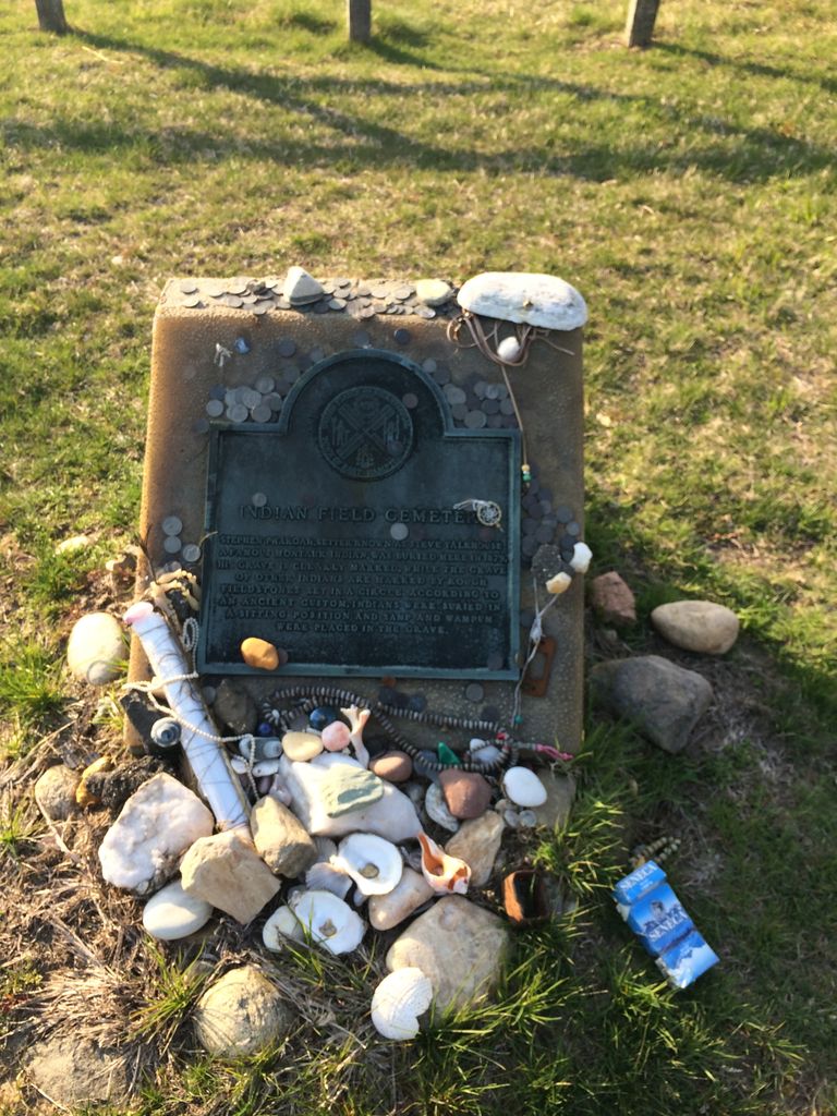
| Description | : | Theodore Roosevelt County Park is 1,157 acres in size, running from Montauk Highway north to Block Island Sound and is bordered on the east by Montauk Point State Park. Montauk County Park was created from 1971 to 1986 through a series of land acquisitions by Suffolk County with the help of Hilda Lindley and the Concerned Citizens of Montauk and was renamed for Theodore Roosevelt in 1998 to commemorate the centennial anniversary of his return to Long Island following the Spanish-American War The park includes Montaukett Village - home and burial ground of the Montaukett tribe of Native Americans which... Read More |
frequently asked questions (FAQ):
-
Where is Indian Field Cemetery?
Indian Field Cemetery is located at Talkhouse Lane Montauk, Suffolk County ,New York , 11954USA.
-
Indian Field Cemetery cemetery's updated grave count on graveviews.com?
0 memorials
-
Where are the coordinates of the Indian Field Cemetery?
Latitude: 41.0657110
Longitude: -71.9122220
Nearby Cemetories:
1. Montauk Point
Montauk, Suffolk County, USA
Coordinate: 41.0591320, -71.8956220
2. Montauk Indian Burial Ground
Montauk, Suffolk County, USA
Coordinate: 41.0464880, -71.9492370
3. Fort Hill Cemetery
Montauk, Suffolk County, USA
Coordinate: 41.0461110, -71.9488880
4. Nominick Hills Burial Ground
Montauk, Suffolk County, USA
Coordinate: 41.0086000, -72.0142000
5. Gardiner's Island Cemetery
East Hampton, Suffolk County, USA
Coordinate: 41.0957800, -72.1069710
6. Green River Cemetery
East Hampton, Suffolk County, USA
Coordinate: 41.0111008, -72.1502991
7. Amagansett Cemetery
Amagansett, Suffolk County, USA
Coordinate: 40.9788895, -72.1333466
8. Oak Grove Cemetery
Amagansett, Suffolk County, USA
Coordinate: 40.9782982, -72.1493988
9. Saint John's Episcopal Church Cemetery
Fishers Island, Suffolk County, USA
Coordinate: 41.2619000, -72.0150000
10. Union Chapel Cemetery
Fishers Island, Suffolk County, USA
Coordinate: 41.2651000, -72.0151000
11. Fishers Island Cemetery
Fishers Island, Suffolk County, USA
Coordinate: 41.2650860, -72.0157240
12. Lily Hill Burial Ground
East Hampton, Suffolk County, USA
Coordinate: 40.9725800, -72.1756800
13. Brown Swamp Cemetery
East Hampton, Suffolk County, USA
Coordinate: 40.9837000, -72.1830000
14. North End Cemetery
East Hampton, Suffolk County, USA
Coordinate: 40.9665146, -72.1828766
15. First Presbyterian Church Memorial Garden
East Hampton, Suffolk County, USA
Coordinate: 40.9602530, -72.1877940
16. Cedar Lawn Cemetery
East Hampton, Suffolk County, USA
Coordinate: 40.9706001, -72.1947021
17. Saint Luke's Church Memorial Garden
East Hampton, Suffolk County, USA
Coordinate: 40.9561110, -72.1905550
18. Most Holy Trinity Catholic Cemetery
East Hampton, Suffolk County, USA
Coordinate: 40.9789880, -72.2045230
19. South End Cemetery
East Hampton, Suffolk County, USA
Coordinate: 40.9547501, -72.1928024
20. Van Scoy-Edwards Cemetery
East Hampton, Suffolk County, USA
Coordinate: 41.0220000, -72.2250000
21. Dickens Cemetery
New Shoreham, Washington County, USA
Coordinate: 41.1560520, -71.6084140
22. Allen Cemetery
New Shoreham, Washington County, USA
Coordinate: 41.1563340, -71.6084670
23. Palentine Cemetery
New Shoreham, Washington County, USA
Coordinate: 41.1552010, -71.6026690
24. Pocock Cemetery
New Shoreham, Washington County, USA
Coordinate: 41.1569520, -71.5966640