
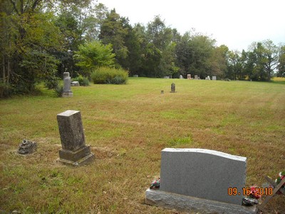
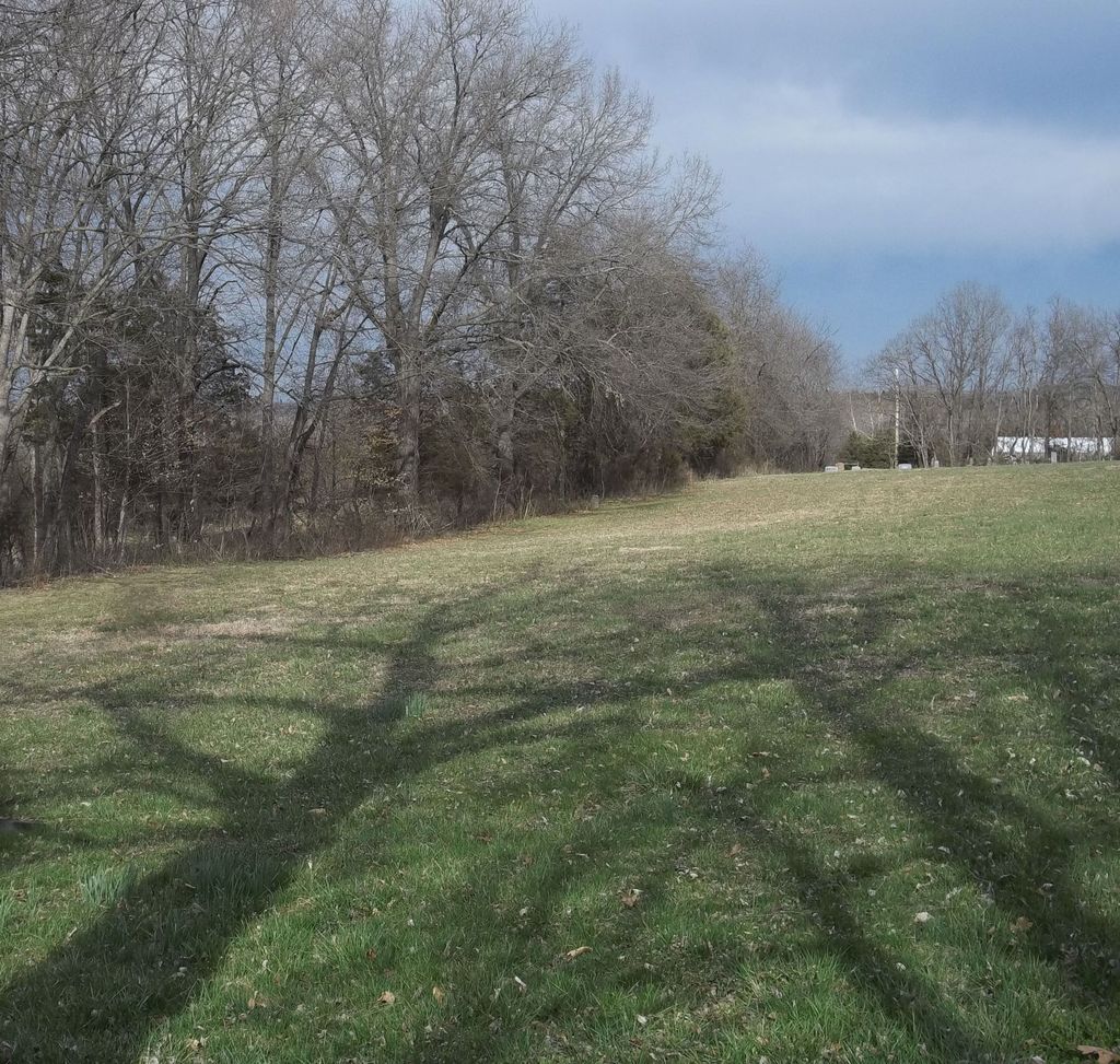
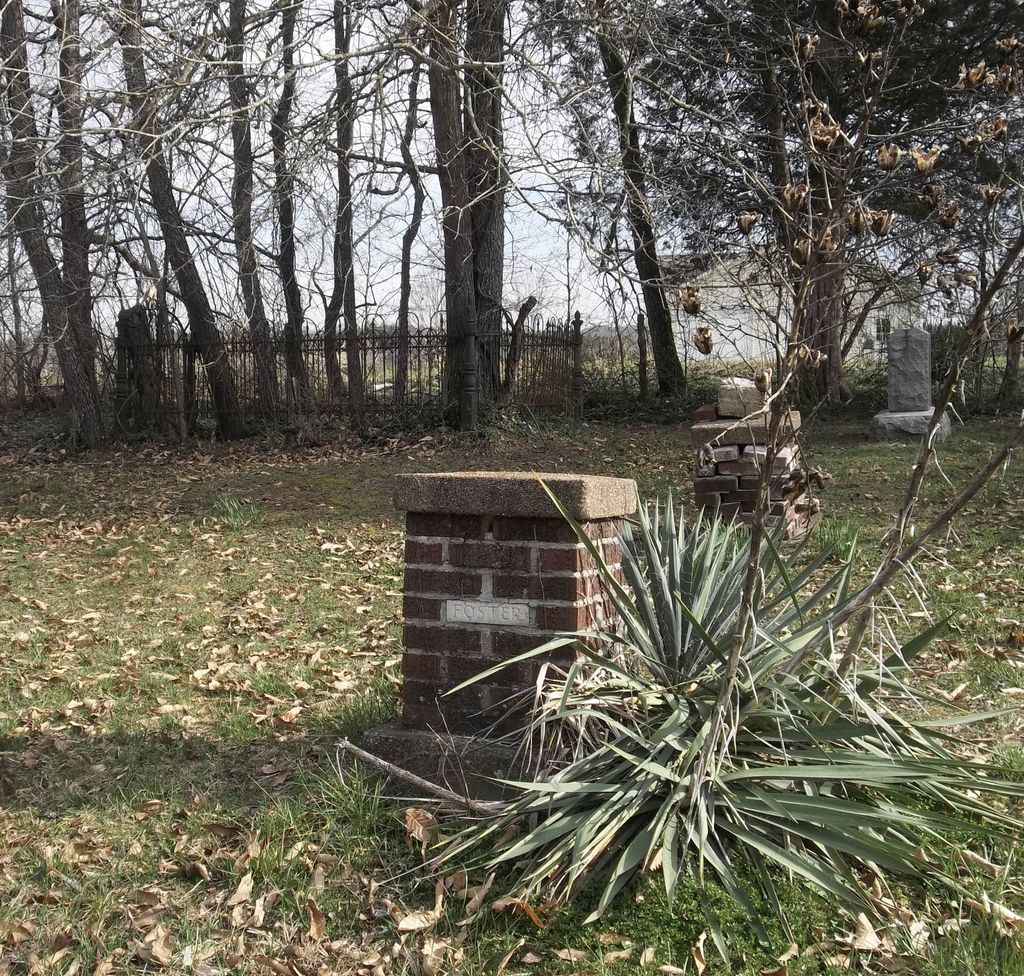
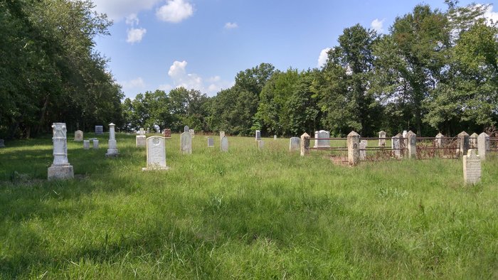
| Memorials | : | 2 |
| Location | : | Franklin County, USA |
| Coordinate | : | 38.4033012, -90.9539032 |
frequently asked questions (FAQ):
-
Where is Indian Prairie Cemetery?
Indian Prairie Cemetery is located at Franklin County ,Missouri ,USA.
-
Indian Prairie Cemetery cemetery's updated grave count on graveviews.com?
2 memorials
-
Where are the coordinates of the Indian Prairie Cemetery?
Latitude: 38.4033012
Longitude: -90.9539032

Nearby Cemetories:
1. Ekey Cemetery
Franklin County, USA
Coordinate: 38.4085999, -90.9552994
2. Nuckles Cemetery
Moselle, Franklin County, USA
Coordinate: 38.4055810, -90.9447380
3. Wallace Cemetery
Moselle, Franklin County, USA
Coordinate: 38.3967800, -90.9305500
4. Drenning Cemetery
Boles, Franklin County, USA
Coordinate: 38.4143350, -90.9015200
5. Aitch Cemetery
Moselle, Franklin County, USA
Coordinate: 38.3634800, -90.9000800
6. Cove Cemetery
Moselle, Franklin County, USA
Coordinate: 38.3572006, -90.8880997
7. Hazelrun Cemetery
Franklin County, USA
Coordinate: 38.4556007, -90.8593979
8. Good Cemetery
Franklin County, USA
Coordinate: 38.4369011, -90.8416977
9. Berthold Mine Cemetery
Franklin County, USA
Coordinate: 38.3149680, -90.9975810
10. Elisha Estes Burial Ground
Aeiker Ford, Franklin County, USA
Coordinate: 38.3786200, -91.0717200
11. Old Hazelrun Cemetery
Franklin County, USA
Coordinate: 38.4575005, -90.8516998
12. Old Mantels Saint John's UCC Cemetery
Franklin County, USA
Coordinate: 38.4815100, -91.0310400
13. Bethel Baptist Church Cemetery
Lonedell, Franklin County, USA
Coordinate: 38.3198500, -90.8776100
14. Peters Cemetery
Franklin County, USA
Coordinate: 38.4693985, -91.0567017
15. Mount Olive United Methodist Church Cemetery
Franklin County, USA
Coordinate: 38.3691500, -90.8211100
16. Saint John's Road Cemetery
Gildehouse, Franklin County, USA
Coordinate: 38.5164580, -90.9455540
17. Oak Grove Cemetery
Oak Grove, Franklin County, USA
Coordinate: 38.3137100, -90.8543800
18. North Cemetery
Franklin County, USA
Coordinate: 38.4803009, -90.8380966
19. Brush Creek Cemetery
Gray Summit, Franklin County, USA
Coordinate: 38.4822006, -90.8386002
20. Saint Josephs Church Cemetery
Neier, Franklin County, USA
Coordinate: 38.3898400, -91.1075700
21. Saint Gertrude Cemetery
Krakow, Franklin County, USA
Coordinate: 38.4994011, -91.0485992
22. Mount Hope Cemetery
Lonedell, Franklin County, USA
Coordinate: 38.2984161, -90.8737030
23. Saint Jordans Church Cemetery
Jeffriesburg, Franklin County, USA
Coordinate: 38.4259240, -91.1107990
24. Coleman Cemetery
Gray Summit, Franklin County, USA
Coordinate: 38.4989014, -90.8507996