
| Memorials | : | 0 |
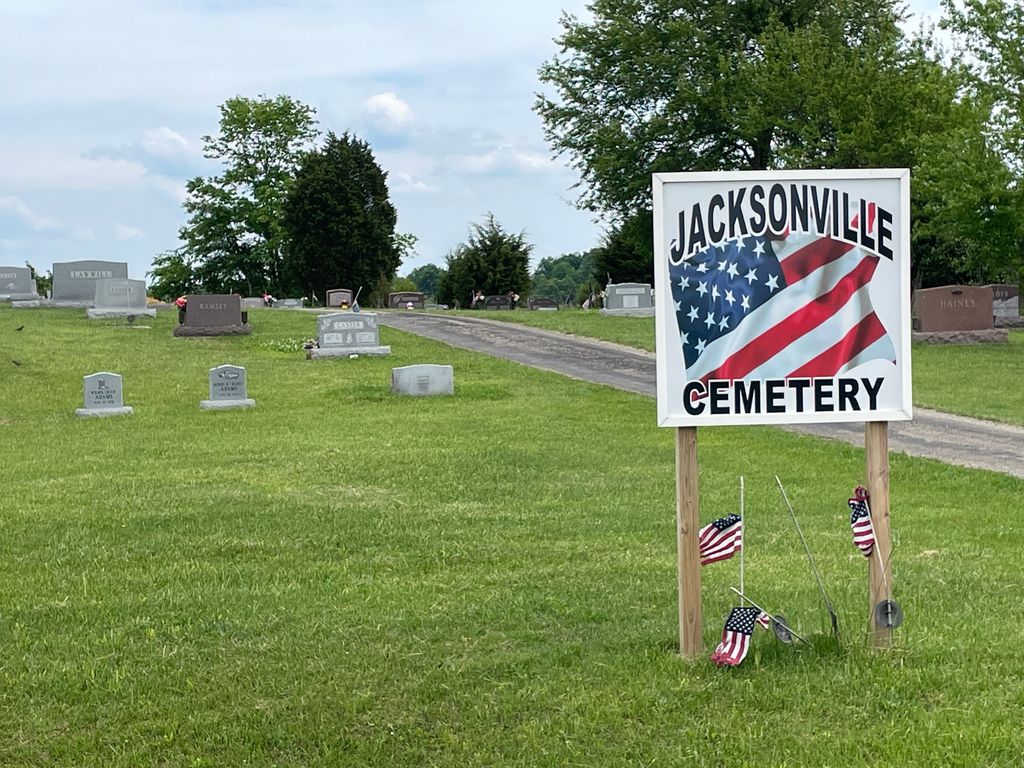
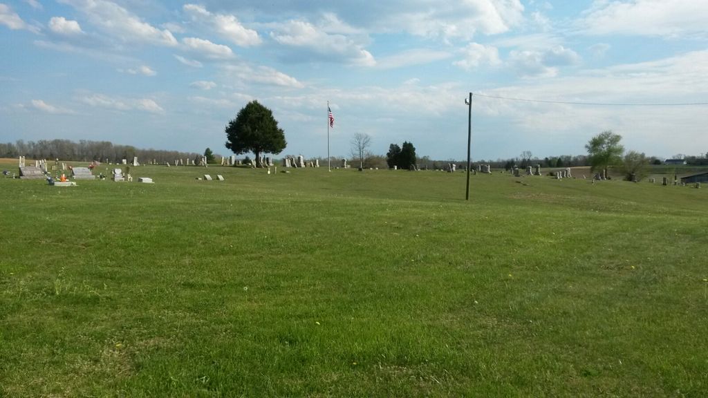
| Location | : | Jacksonville, Adams County, USA |
| Coordinate | : | 38.9119700, -83.4362600 |
| Description | : | The cemetery is located on the east side of Jacksonville Road (Township Road 330) about 0.1 miles southeast of its intersection with Ohio State Route 41. The cemetery is located in Meigs Township, Adams County, Ohio, and is # 54 (Jacksonville Cemetery) in “Ohio Cemeteries 1803-2003”, compiled by the Ohio Genealogical Society. The cemetery is registered with the Ohio Division of Real Estate and Professional Licensing (ODRE) as Jacksonville Cemetery with registration license number CGR.0000980776. The U.S. Geological Survey (USGS) Geographic Names Information System (GNIS) feature ID for the cemetery is 1731190 (Jacksonville Cemetery). |
frequently asked questions (FAQ):
-
Where is Jack Town Cemetery?
Jack Town Cemetery is located at Jacksonville Road (Township Road 330) Jacksonville, Adams County ,Ohio , 45660USA.
-
Jack Town Cemetery cemetery's updated grave count on graveviews.com?
0 memorials
-
Where are the coordinates of the Jack Town Cemetery?
Latitude: 38.9119700
Longitude: -83.4362600

Nearby Cemetories:
1. Eakins Cemetery #1
Peebles, Adams County, USA
Coordinate: 38.9132919, -83.4369965
2. Eakins Cemetery #2
Peebles, Adams County, USA
Coordinate: 38.9220200, -83.4539360
3. Steam Furnace Cemetery
Steam Furnace, Adams County, USA
Coordinate: 38.9089012, -83.4077988
4. Evergreen Cemetery
Peebles, Adams County, USA
Coordinate: 38.9196300, -83.4024100
5. Lawshe Cemetery
Lawshe, Adams County, USA
Coordinate: 38.9429000, -83.4667833
6. Brush Creek Cemetery
Fawcett, Adams County, USA
Coordinate: 38.8665800, -83.4031200
7. Turkey Creek Church Cemetery
Steam Furnace, Adams County, USA
Coordinate: 38.8886950, -83.3736130
8. Baptist Cemetery
Wheat Ridge, Adams County, USA
Coordinate: 38.8734690, -83.4892430
9. Scrub Ridge Cemetery
Scrub Ridge, Adams County, USA
Coordinate: 38.8664100, -83.3916500
10. Cedar Fork Cemetery
Peebles, Adams County, USA
Coordinate: 38.9234045, -83.3626885
11. Vaughns Chapel Cemetery
West Union, Adams County, USA
Coordinate: 38.8525009, -83.4589005
12. Marble Furnace Cemetery
Bratton Township, Adams County, USA
Coordinate: 38.9746000, -83.4317000
13. Jones Family Cemetery
Dunkinsville, Adams County, USA
Coordinate: 38.8463500, -83.4493000
14. Unity Cemetery
Unity, Adams County, USA
Coordinate: 38.8916300, -83.5229300
15. Ellison Cemetery
Dunkinsville, Adams County, USA
Coordinate: 38.8394840, -83.4293810
16. Treber Cemetery
Oliver Township, Adams County, USA
Coordinate: 38.8506012, -83.4869003
17. Peach Mountain Cemetery
Peebles, Adams County, USA
Coordinate: 38.8953018, -83.3450012
18. Locust Grove Cemetery
Peebles, Adams County, USA
Coordinate: 38.9782982, -83.3869019
19. Case Family Cemetery
Cedar Mills, Adams County, USA
Coordinate: 38.8444880, -83.3844710
20. Cole Cemetery
Lynx, Adams County, USA
Coordinate: 38.8446999, -83.3831024
21. Blake Cemetery
West Union, Adams County, USA
Coordinate: 38.8338500, -83.4678400
22. Louisville Cemetery
Louisville, Adams County, USA
Coordinate: 38.9918900, -83.4625000
23. Old Covenanter Cemetery
Adams County, USA
Coordinate: 38.9544800, -83.5362400
24. Tranquility Cemetery
Tranquility, Adams County, USA
Coordinate: 38.9627700, -83.5309400