| Memorials | : | 1 |
| Location | : | Jakin, Early County, USA |
| Coordinate | : | 31.1038480, -84.9652570 |
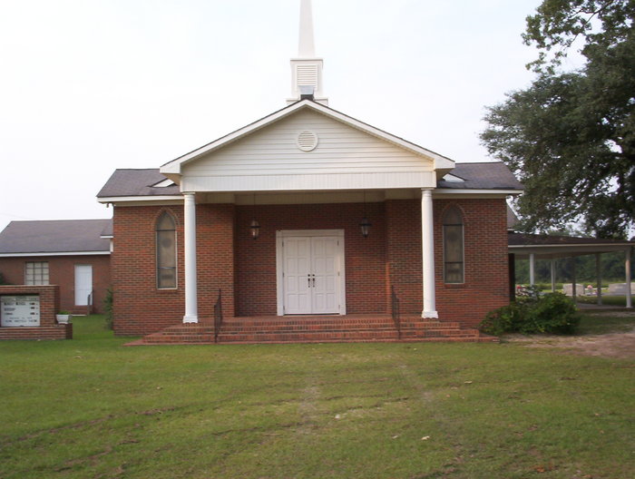
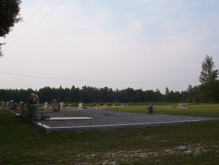
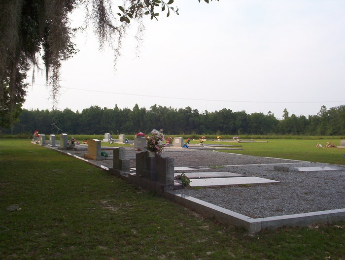
| Description | : | The church is located on highway 39, approximately 1 mile before of the city limits of Jakin, GA. The cemetery is located directly behind the church. |
frequently asked questions (FAQ):
-
Where is Jakin Freewill Baptist Church Cemetery?
Jakin Freewill Baptist Church Cemetery is located at Jakin, Early County ,Georgia ,USA.
-
Jakin Freewill Baptist Church Cemetery cemetery's updated grave count on graveviews.com?
0 memorials
-
Where are the coordinates of the Jakin Freewill Baptist Church Cemetery?
Latitude: 31.1038480
Longitude: -84.9652570
Nearby Cemetories:
1. Jakin City Cemetery
Jakin, Early County, USA
Coordinate: 31.0924830, -84.9781290
2. Hodges Cemetery
Jakin, Early County, USA
Coordinate: 31.1039009, -84.9424973
3. Midway Baptist Church Cemetery
Jakin, Early County, USA
Coordinate: 31.1102900, -84.9956630
4. Easom Cemetery
Jakin, Early County, USA
Coordinate: 31.1096700, -84.9269000
5. Springfield Baptist Church Cemetery
Early County, USA
Coordinate: 31.1461840, -84.9414720
6. Saint Pauls Church Cemetery
Cedar Springs, Early County, USA
Coordinate: 31.1493000, -85.0367800
7. Bethel Cemetery
Jakin, Early County, USA
Coordinate: 31.1817090, -84.9652040
8. Jerusalem Methodist Church Cemetery
Gordon, Houston County, USA
Coordinate: 31.0639760, -85.0511260
9. Saint John Baptist Church Cemetery
Gordon, Houston County, USA
Coordinate: 31.0479840, -85.0421530
10. Fiveash Cemetery
Miller County, USA
Coordinate: 31.0714300, -84.8599600
11. Cedar Springs Cemetery
Cedar Springs, Early County, USA
Coordinate: 31.1797009, -85.0366974
12. South Mount Zion Cemetery
Enterprise, Miller County, USA
Coordinate: 31.1528750, -84.8600370
13. Porter Cemetery
Blakely, Early County, USA
Coordinate: 31.1671800, -85.0663200
14. Cedar Springs Freewill Baptist Church Cemetery
Cedar Springs, Early County, USA
Coordinate: 31.2015290, -85.0255680
15. Good Hope Church Cemetery
Early County, USA
Coordinate: 31.1833600, -85.0563500
16. Union Missionary Baptist Church Cemetery
Colquitt, Miller County, USA
Coordinate: 31.1172009, -84.8360977
17. Saint Stephen Methodist Church Cemetery
Gordon, Houston County, USA
Coordinate: 31.1447120, -85.0868310
18. Saint Mary Baptist Church Cemetery
Gordon, Houston County, USA
Coordinate: 31.1433330, -85.0874990
19. Liberty Assembly Of God Church Cemetery
Cedar Springs, Early County, USA
Coordinate: 31.1812890, -85.0703530
20. Primitive Union Cemetery
Colquitt, Miller County, USA
Coordinate: 31.1117000, -84.8256000
21. Allen Chapel Cemetery
Cedar Springs, Early County, USA
Coordinate: 31.2272670, -84.9818930
22. Gordon Cemetery
Gordon, Houston County, USA
Coordinate: 31.1536007, -85.1014023
23. Springhill Free Will Baptist Church Cemetery
Gordon, Houston County, USA
Coordinate: 31.0982280, -85.1191130
24. Greater Antioch Missionary Baptist Church
Gordon, Houston County, USA
Coordinate: 31.0349090, -85.0971980


