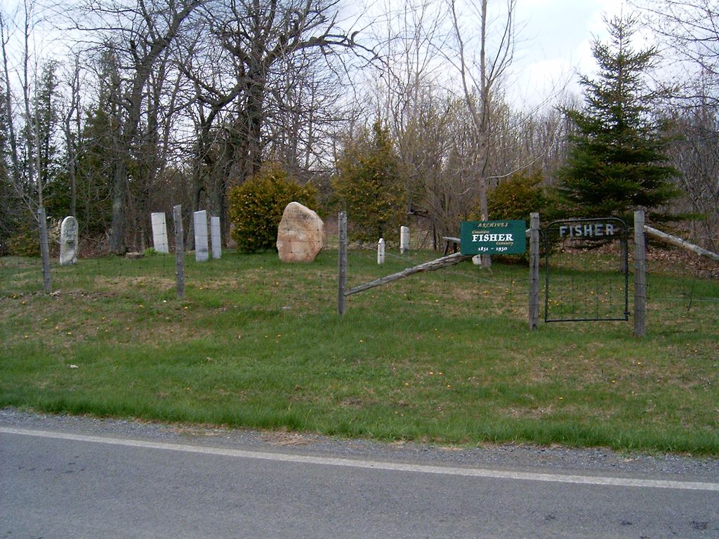
| Memorials | : | 0 |
| Location | : | Hemmingford, Monteregie Region, Canada |
| Coordinate | : | 45.0190000, -73.5570000 |
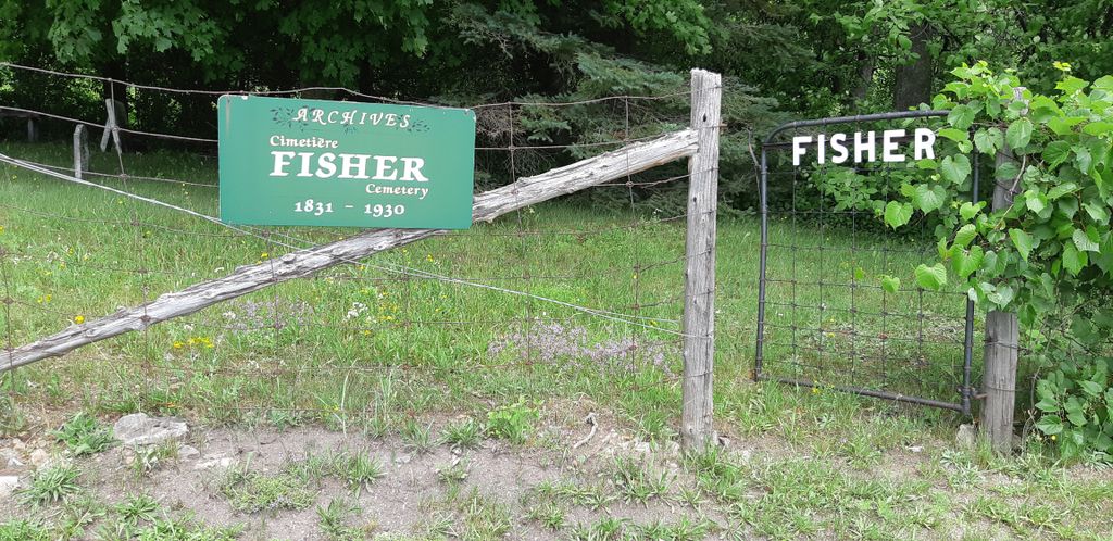
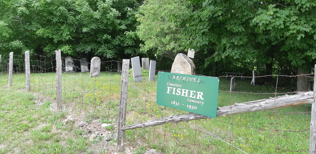
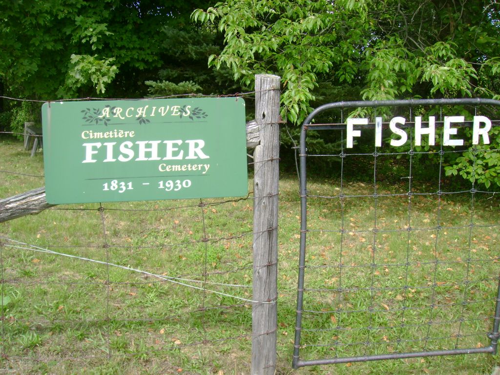
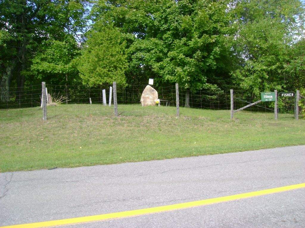
| Description | : | James Fisher and his wife Deborah Mott with their young family were the first settlers to occupy land in the Township of Hemmingford, coming in from Alburgh, Vermont in 1800. Last burial was in 1930. |
frequently asked questions (FAQ):
-
Where is James Fisher Family Burying Ground?
James Fisher Family Burying Ground is located at located on the north side of James Fisher Road, 2.5 miles (4.0km) east of Rte 219, near Brownlee Sid Hemmingford, Monteregie Region ,Quebec ,Canada.
-
James Fisher Family Burying Ground cemetery's updated grave count on graveviews.com?
0 memorials
-
Where are the coordinates of the James Fisher Family Burying Ground?
Latitude: 45.0190000
Longitude: -73.5570000
Nearby Cemetories:
1. Atkinson Cemetery
Hemmingford, Monteregie Region, Canada
Coordinate: 45.0194156, -73.5495083
2. Hemmingford Protestant Cemetery
Hemmingford, Monteregie Region, Canada
Coordinate: 45.0427400, -73.5921900
3. Murray Cemetery
Clinton County, USA
Coordinate: 45.0026000, -73.5136000
4. Hemmingford Catholic Cemetery
Hemmingford, Monteregie Region, Canada
Coordinate: 45.0480300, -73.5880300
5. Mills Cemetery
Perry Mills, Clinton County, USA
Coordinate: 44.9930992, -73.5033035
6. O'Dell-McKay Cemetery
Hemmingford, Monteregie Region, Canada
Coordinate: 45.0678120, -73.5874570
7. New Mooers Cemetery
Mooers, Clinton County, USA
Coordinate: 44.9650000, -73.5721100
8. Saint Joseph's Cemetery
Mooers, Clinton County, USA
Coordinate: 44.9641991, -73.5691986
9. Saint Paul's Anglican Cemetery
Hemmingford, Monteregie Region, Canada
Coordinate: 45.0778440, -73.5618780
10. McCrea-Kingsbury Cemetery
Hemmingford, Monteregie Region, Canada
Coordinate: 45.0812786, -73.5604298
11. Riverside Cemetery
Mooers, Clinton County, USA
Coordinate: 44.9596510, -73.5866140
12. Mooers Riverside Cemetery
Mooers, Clinton County, USA
Coordinate: 44.9595900, -73.5865700
13. Saint Elzear Cemetery
Champlain, Clinton County, USA
Coordinate: 44.9801300, -73.4773800
14. Merlin-Kyle Cemetery
Hemmingford, Monteregie Region, Canada
Coordinate: 45.0898688, -73.5450768
15. Walker Cemetery
Mooers Forks, Clinton County, USA
Coordinate: 44.9930992, -73.6544037
16. Downs Graveyard
Champlain, Clinton County, USA
Coordinate: 44.9505800, -73.5151600
17. Wesley-Knox United Church Cemetery
Hemmingford, Monteregie Region, Canada
Coordinate: 45.0201000, -73.6696300
18. Glenwood Cemetery
Champlain, Clinton County, USA
Coordinate: 44.9916992, -73.4496994
19. New Saint Mary's Cemetery
Champlain, Clinton County, USA
Coordinate: 44.9797400, -73.4518900
20. Old Saint Mary's Cemetery
Champlain, Clinton County, USA
Coordinate: 44.9915000, -73.4347000
21. Saint Ann's Cemetery
Mooers Forks, Clinton County, USA
Coordinate: 44.9468994, -73.6371994
22. Jackson Cemetery
Hemmingford, Monteregie Region, Canada
Coordinate: 45.0227700, -73.4223900
23. Union Cemetery
Mooers Forks, Clinton County, USA
Coordinate: 44.9477000, -73.6546000
24. Henrysburg Methodist Cemetery
Henrysburg, Monteregie Region, Canada
Coordinate: 45.1070500, -73.4690950

