
| Memorials | : | 0 |
| Location | : | Prescott, Hampshire County, USA |
| Coordinate | : | 42.4310600, -72.3175900 |
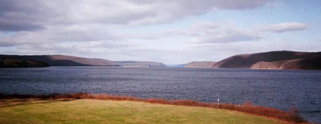
| Description | : | The town of Prescott was flooded to create the Quabbin Reservoir. All 7,613 burials in the watershed were exhumed and 6,601 were removed to Quabbin Park Cemetery in 1938. The remaining 1,012 burials went to other cemeteries. Vital Records for Prescott are held by the Commonwealth Contact: Quabbin Visitor Center 485 Ware Road Belchertown, MA 01007 (413)323-7221 The New Salem Historical Society on Rte 202 also holds a wealth of information about the towns now under the Quabbin. NOTE: The Prescott Peninsula is restricted access. You must have permission to be in that portion of the Quabbin Reservoir land holdings. |
frequently asked questions (FAQ):
-
Where is Jason Powers Cemetery (Defunct)?
Jason Powers Cemetery (Defunct) is located at Prescott, Hampshire County ,Massachusetts ,USA.
-
Jason Powers Cemetery (Defunct) cemetery's updated grave count on graveviews.com?
0 memorials
-
Where are the coordinates of the Jason Powers Cemetery (Defunct)?
Latitude: 42.4310600
Longitude: -72.3175900
Nearby Cemetories:
1. Isaac Lindsey Cemetery (Defunct)
Prescott, Hampshire County, USA
Coordinate: 42.4483500, -72.3020600
2. Town House Cemetery (Defunct)
Prescott, Hampshire County, USA
Coordinate: 42.4175300, -72.3548800
3. Mountain View Cemetery
New Salem, Franklin County, USA
Coordinate: 42.4561005, -72.3443985
4. Center Cemetery (Defunct)
Prescott, Hampshire County, USA
Coordinate: 42.3916900, -72.3446600
5. Wendell Farnsworth Gravesite
Petersham, Worcester County, USA
Coordinate: 42.4203300, -72.2443200
6. Pelham Hollow Road Cemetery (Defunct)
Prescott, Hampshire County, USA
Coordinate: 42.3822000, -72.3590500
7. Dana Center Cemetery (Defunct)
Dana, Worcester County, USA
Coordinate: 42.4222300, -72.2275700
8. Center Cemetery
New Salem, Franklin County, USA
Coordinate: 42.5003360, -72.3312240
9. Brown's Family Cemetery (Defunct)
Dana, Worcester County, USA
Coordinate: 42.4229200, -72.2223600
10. Greenwich Cemetery (Defunct)
Greenwich, Hampshire County, USA
Coordinate: 42.3588000, -72.3017100
11. Pelham Hill Cemetery
Pelham, Hampshire County, USA
Coordinate: 42.3927400, -72.4040900
12. West Cemetery
Shutesbury, Franklin County, USA
Coordinate: 42.4502300, -72.4242700
13. Luther Henry Tomb Yard
Shutesbury, Franklin County, USA
Coordinate: 42.4501500, -72.4253400
14. Jewish Community Association of Amherst Cemetery
Shutesbury, Franklin County, USA
Coordinate: 42.4502690, -72.4297230
15. West Street Cemetery
Petersham, Worcester County, USA
Coordinate: 42.4881900, -72.2216500
16. West Burial Ground
Pelham, Hampshire County, USA
Coordinate: 42.3889480, -72.4279690
17. Coolidge Cemetery
Petersham, Worcester County, USA
Coordinate: 42.4651500, -72.2020800
18. Nichewaug Cemetery
Petersham, Worcester County, USA
Coordinate: 42.4431700, -72.1930600
19. Wilber Cemetery
New Salem, Franklin County, USA
Coordinate: 42.5254870, -72.3394830
20. Packardsville Cemetery (Defunct)
Enfield, Hampshire County, USA
Coordinate: 42.3464920, -72.3790030
21. Packardsville Church Cemetery (Defunct)
Enfield, Hampshire County, USA
Coordinate: 42.3430700, -72.3790900
22. Knights Corner Burial Ground
Pelham, Hampshire County, USA
Coordinate: 42.3524310, -72.4052240
23. North Valley Cemetery
Pelham, Hampshire County, USA
Coordinate: 42.3874590, -72.4425120
24. Valley Cemetery
Pelham, Hampshire County, USA
Coordinate: 42.3871994, -72.4439011