
| Memorials | : | 0 |
| Location | : | Pineville, Berkeley County, USA |
| Coordinate | : | 33.4134600, -80.0286720 |
frequently asked questions (FAQ):
-
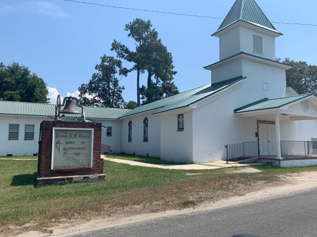
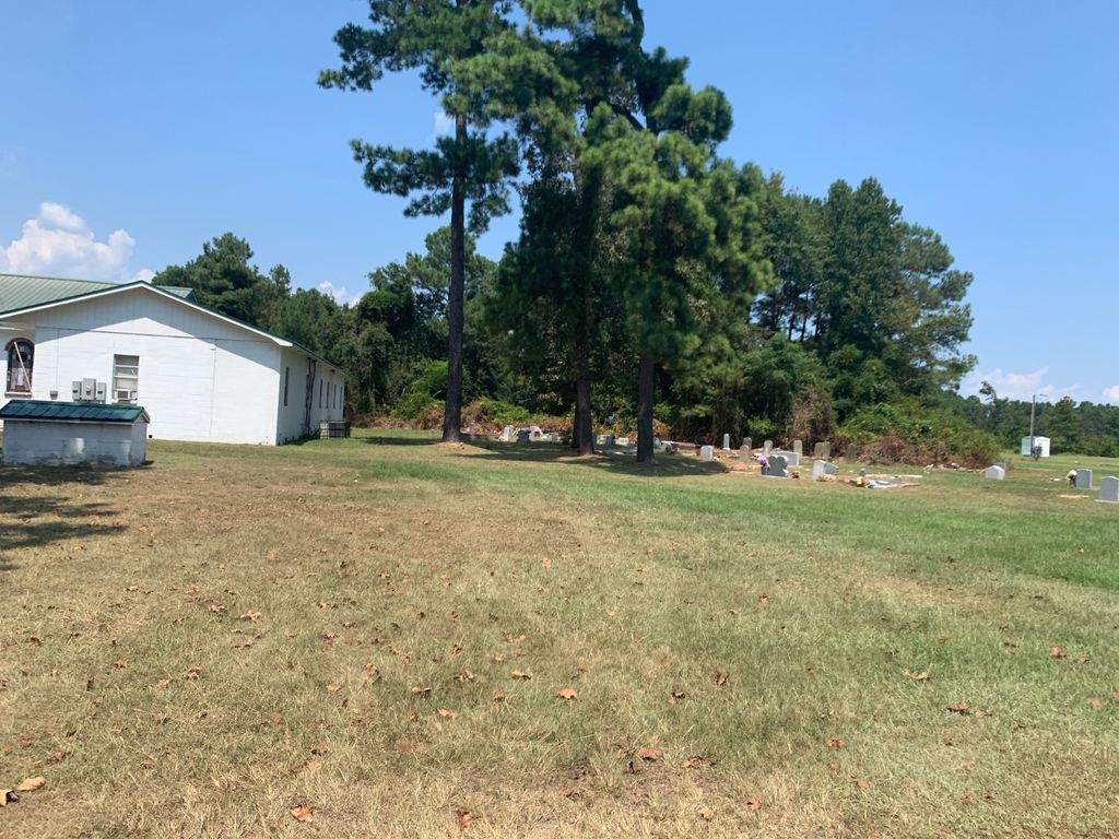
Where is Jehovah United Methodist Church Cemetery?
Jehovah United Methodist Church Cemetery is located at Pineville, Berkeley County ,South Carolina ,USA.
-
Jehovah United Methodist Church Cemetery cemetery's updated grave count on graveviews.com?
0 memorials
-
Where are the coordinates of the Jehovah United Methodist Church Cemetery?
Latitude: 33.4134600
Longitude: -80.0286720
Nearby Cemetories:
1. Saint Peters AME Cemetery
Pineville, Berkeley County, USA
Coordinate: 33.4124660, -80.0260830
2. Moultrie Cemetery
Pineville, Berkeley County, USA
Coordinate: 33.4175340, -80.0308640
3. Crawl Branch Cemetery
Pineville, Berkeley County, USA
Coordinate: 33.4268680, -80.0098210
4. Pineville Sunset Memorial Cemetery
Pineville, Berkeley County, USA
Coordinate: 33.4305610, -80.0005530
5. Lifeland Cemetery
Berkeley County, USA
Coordinate: 33.4458008, -80.0207977
6. Maham Plantation Cemetery
Berkeley County, USA
Coordinate: 33.4455986, -80.0547028
7. Hillside Memorial Cemetery
Pineville, Berkeley County, USA
Coordinate: 33.4392470, -79.9933410
8. Gadsden Memorial Cemetery
Saint Stephen, Berkeley County, USA
Coordinate: 33.4223210, -79.9803680
9. Richmond Cemetery
Berkeley County, USA
Coordinate: 33.4606018, -80.0310974
10. Bethel Miracle Temple Church Cemetery
Saint Stephen, Berkeley County, USA
Coordinate: 33.4083260, -79.9704510
11. Mount Nebo United Methodist Church Cemetery
Pineville, Berkeley County, USA
Coordinate: 33.4401070, -80.0806500
12. Calvary Reformed Episcopal Church Cemetery
Saint Stephen, Berkeley County, USA
Coordinate: 33.4357750, -79.9723820
13. Oldfield Plantation Cemetery
Berkeley County, USA
Coordinate: 33.4392014, -79.9736023
14. Russellville Christian Church Cemetery
Russellville, Berkeley County, USA
Coordinate: 33.3927994, -79.9705963
15. Bluford Cemetery
Berkeley County, USA
Coordinate: 33.4486008, -80.0757980
16. Rembert Cemetery
Saint Stephen, Berkeley County, USA
Coordinate: 33.4307100, -79.9675300
17. Greenlawn Cemetery
Saint Stephen, Berkeley County, USA
Coordinate: 33.4307600, -79.9674900
18. Jefferson Cemetery
Berkeley County, USA
Coordinate: 33.4272003, -80.0960999
19. Site of Francis Marion Tomb
Berkeley County, USA
Coordinate: 33.4528008, -80.0877991
20. Belle Isle Plantation Cemetery
Saint Stephen, Berkeley County, USA
Coordinate: 33.4538994, -80.0875015
21. Cedar Grove AME Church Cemetery
Cope, Orangeburg County, USA
Coordinate: 33.4727480, -80.0000920
22. Mack-Zion Cemetery
Berkeley County, USA
Coordinate: 33.3716220, -79.9568880
23. House of God Church Cemetery
Saint Stephen, Berkeley County, USA
Coordinate: 33.3930560, -79.9433940
24. Mexico Cemetery
Pineville, Berkeley County, USA
Coordinate: 33.4449997, -80.1102982