| Memorials | : | 9 |
| Location | : | Barneveld, Iowa County, USA |
| Coordinate | : | 43.0212120, -89.9518760 |
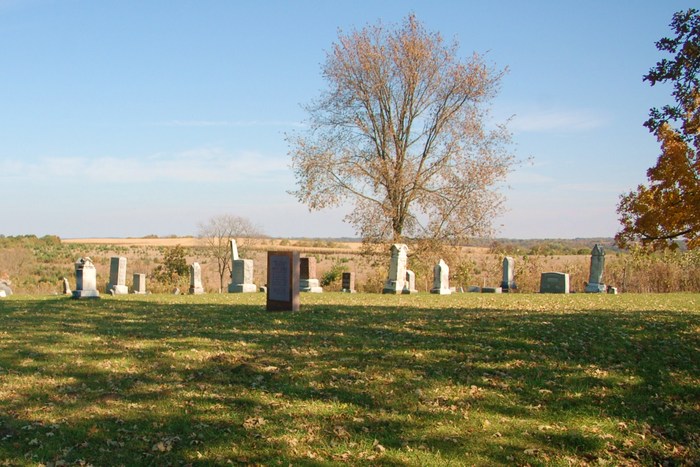
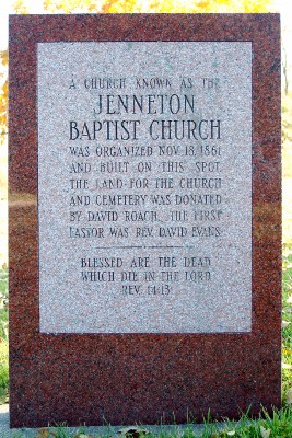
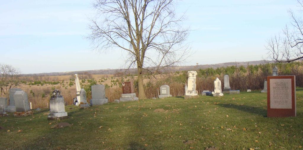
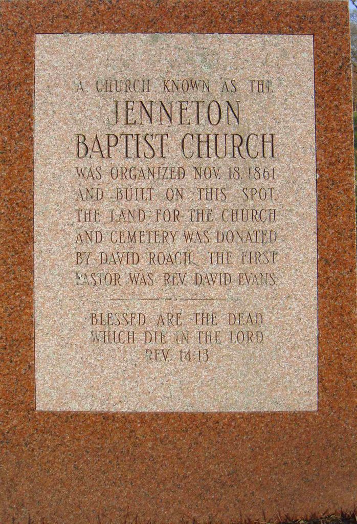
| Description | : | This is a small active cemetery on the east side of Pikes Peak Road, just north of Oak Rd and about a half mile north of USH 18-151. The Marker reads: "A church known as the Jenneton Baptist Church was organized November 18, 1851, and built on this spot. The land for the church and cemetery was donated by David Roach. The first pastor was Rev. David Evans. |
frequently asked questions (FAQ):
-
Where is Jenneton Baptist Cemetery?
Jenneton Baptist Cemetery is located at Barneveld, Iowa County ,Wisconsin ,USA.
-
Jenneton Baptist Cemetery cemetery's updated grave count on graveviews.com?
7 memorials
-
Where are the coordinates of the Jenneton Baptist Cemetery?
Latitude: 43.0212120
Longitude: -89.9518760
Nearby Cemetories:
1. Jenneton Cemetery
Barneveld, Iowa County, USA
Coordinate: 43.0168100, -89.9474200
2. Eastside Cemetery
Ridgeway, Iowa County, USA
Coordinate: 43.0066986, -89.9863968
3. Ridgeway Cemetery
Ridgeway, Iowa County, USA
Coordinate: 42.9965900, -89.9932100
4. Ruggles Cemetery
Ridgeway, Iowa County, USA
Coordinate: 43.0494003, -90.0046997
5. Bethel Cemetery
Barneveld, Iowa County, USA
Coordinate: 43.0386009, -89.8906021
6. Hyde Chapel Cemetery
Ridgeway, Iowa County, USA
Coordinate: 43.0713800, -89.9656100
7. White Church Cemetery
Barneveld, Iowa County, USA
Coordinate: 43.0191994, -89.8807983
8. Saint Bridgets Cemetery
Ridgeway, Iowa County, USA
Coordinate: 42.9805984, -90.0130997
9. Rockwell Mills Cemetery
Dodgeville, Iowa County, USA
Coordinate: 43.0169983, -90.0376968
10. Circle Sanctuary
Barneveld, Iowa County, USA
Coordinate: 43.0703500, -89.8765600
11. Saints Peter and Paul Catholic Cemetery
Pleasant Ridge, Iowa County, USA
Coordinate: 43.0406000, -90.0500500
12. Griffith Cemetery
Dodgeville, Iowa County, USA
Coordinate: 43.0325012, -90.0531006
13. Middlebury Cemetery
Barneveld, Iowa County, USA
Coordinate: 42.9385986, -89.9009628
14. West Blue Mounds Lutheran Cemetery
Blue Mounds, Dane County, USA
Coordinate: 43.0138800, -89.8247200
15. Valley View Cemetery
Dodgeville, Iowa County, USA
Coordinate: 43.0372009, -90.0955963
16. Garrison Grove Cemetery
Dodgeville, Iowa County, USA
Coordinate: 42.9421997, -90.0547028
17. Saint James Catholic Cemetery
Vermont, Dane County, USA
Coordinate: 43.0561100, -89.8097200
18. Long Valley Cemetery
Hollandale, Iowa County, USA
Coordinate: 42.9007988, -89.9328003
19. German Valley Cemetery
Blue Mounds, Dane County, USA
Coordinate: 42.9808006, -89.7889023
20. Hauge Log Church Cemetery
Daleyville, Dane County, USA
Coordinate: 42.9300000, -89.8196716
21. Davis Cemetery
Coon Rock, Iowa County, USA
Coordinate: 43.1543999, -89.9608002
22. Rock Church Cemetery
Dodgeville, Iowa County, USA
Coordinate: 43.0078011, -90.1342010
23. Unity Chapel Cemetery
Wyoming, Iowa County, USA
Coordinate: 43.1326850, -90.0610900
24. East Side Cemetery
Dodgeville, Iowa County, USA
Coordinate: 42.9585991, -90.1213989


