| Memorials | : | 0 |
| Location | : | Lonedell, Franklin County, USA |
| Coordinate | : | 38.3088600, -90.8334600 |
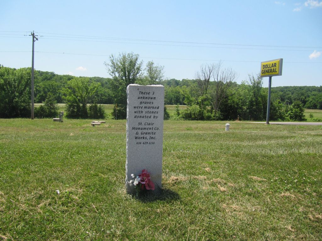
| Description | : | The single Civil War veteran's headstone for Swepson Johns stands right alongside Highway 30 in Lonedell. Because of its high visibility, it often is decorated with flowers and or an American flag. There is no evidence of other burials at this site though it is certainly possible. |
frequently asked questions (FAQ):
-
Where is Johns Cemetery?
Johns Cemetery is located at Highway 30, right alongside the highway. Lonedell, Franklin County ,Missouri ,USA.
-
Johns Cemetery cemetery's updated grave count on graveviews.com?
0 memorials
-
Where are the coordinates of the Johns Cemetery?
Latitude: 38.3088600
Longitude: -90.8334600
Nearby Cemetories:
1. Oak Grove Cemetery
Oak Grove, Franklin County, USA
Coordinate: 38.3137100, -90.8543800
2. Mount Hope Cemetery
Lonedell, Franklin County, USA
Coordinate: 38.2984161, -90.8737030
3. Bethel Baptist Church Cemetery
Lonedell, Franklin County, USA
Coordinate: 38.3198500, -90.8776100
4. Woodcock Cemetery #2
Luebbering, Franklin County, USA
Coordinate: 38.2718290, -90.8039980
5. Fairview Cemetery
Lonedell, Franklin County, USA
Coordinate: 38.2773900, -90.7809800
6. Luebbering Citizens Community Cemetery
Franklin County, USA
Coordinate: 38.2775600, -90.7796500
7. Thompson Cemetery
Lonedell, Franklin County, USA
Coordinate: 38.3244700, -90.7688000
8. Virginia Mines Baptist Cemetery
Lonedell, Franklin County, USA
Coordinate: 38.2858330, -90.8944440
9. Finney Cemetery
Franklin County, USA
Coordinate: 38.3600006, -90.8019028
10. Straub Cemetery
Huff, Franklin County, USA
Coordinate: 38.2651400, -90.8812700
11. Mount Olive United Methodist Church Cemetery
Franklin County, USA
Coordinate: 38.3691500, -90.8211100
12. Cove Cemetery
Moselle, Franklin County, USA
Coordinate: 38.3572006, -90.8880997
13. Grubville Cemetery
Grubville, Jefferson County, USA
Coordinate: 38.2970700, -90.7468100
14. Elmwood Church Cemetery
Lonedell, Franklin County, USA
Coordinate: 38.2397194, -90.8404160
15. Calvey Baptist Church Cemetery
Catawissa, Franklin County, USA
Coordinate: 38.3463700, -90.7585500
16. Aitch Cemetery
Moselle, Franklin County, USA
Coordinate: 38.3634800, -90.9000800
17. Sparks Cemetery
Lonedell, Franklin County, USA
Coordinate: 38.2303009, -90.8375015
18. Prospect Church Cemetery
Lonedell, Franklin County, USA
Coordinate: 38.2404709, -90.8860016
19. Neavels Cemetery
Huff, Franklin County, USA
Coordinate: 38.2245800, -90.8613600
20. Wideman Cemetery
Dittmer, Jefferson County, USA
Coordinate: 38.2984200, -90.7185000
21. Henderson Family Cemetery
Catawissa, Franklin County, USA
Coordinate: 38.3740630, -90.7514480
22. Hinson Cemetery
Huff, Franklin County, USA
Coordinate: 38.2220700, -90.9095200
23. Oak Ridge Cemetery
Catawissa, Franklin County, USA
Coordinate: 38.4016991, -90.7671967
24. Independent Friends Cemetery
Dittmer, Jefferson County, USA
Coordinate: 38.3655853, -90.7172852

