
| Memorials | : | 0 |
| Location | : | Emmalane, Jenkins County, USA |
| Coordinate | : | 32.7432390, -81.9674230 |
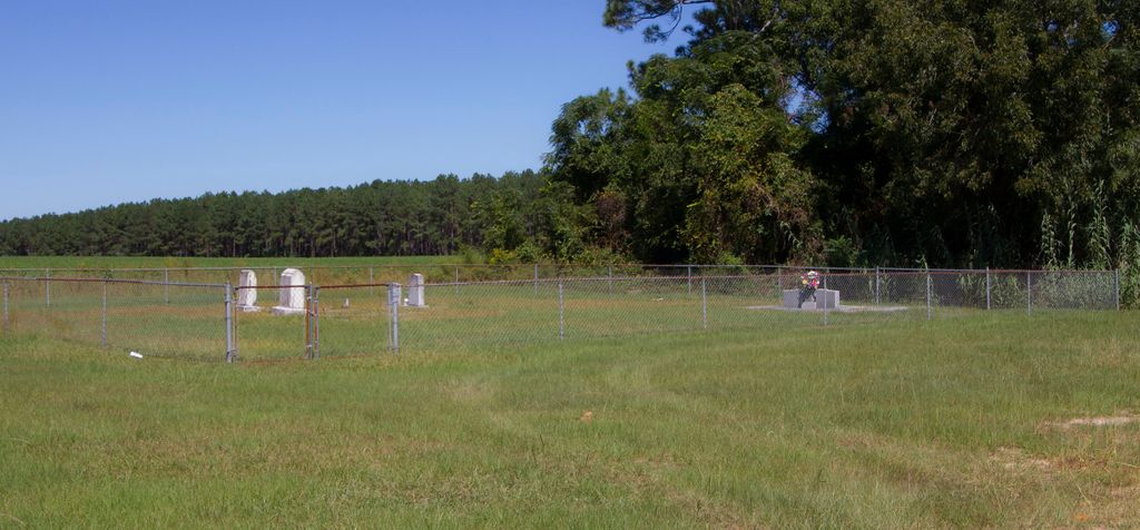
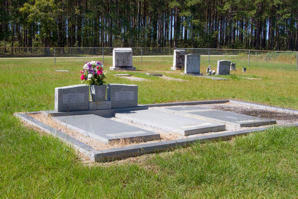
| Description | : | The Johnson Family Cemetery is located on E. Old Savannah Road 0.4 miles from Highway 25. It is on the North side of the Road across from the intersection with Newton Road. (Approximately 4 miles South of Millen or 1 mile East of Emmalane) |
frequently asked questions (FAQ):
-
Where is Johnson Family Cemetery?
Johnson Family Cemetery is located at Emmalane, Jenkins County ,Georgia ,USA.
-
Johnson Family Cemetery cemetery's updated grave count on graveviews.com?
0 memorials
-
Where are the coordinates of the Johnson Family Cemetery?
Latitude: 32.7432390
Longitude: -81.9674230
Nearby Cemetories:
1. Lane Family Cemetery #1
Emmalane, Jenkins County, USA
Coordinate: 32.7561100, -81.9841700
2. Skull Creek Baptist Church Cemetery
Jenkins County, USA
Coordinate: 32.7620230, -81.9943850
3. Lane Family Cemetery #3
Emmalane, Jenkins County, USA
Coordinate: 32.7694016, -81.9938965
4. Clifton Cemetery
Jenkins County, USA
Coordinate: 32.7033005, -81.9757996
5. Lane Family Cemetery #2
Jenkins County, USA
Coordinate: 32.7033200, -81.9871500
6. Williams Grove Church of God In Christ Cemetery
Millen, Jenkins County, USA
Coordinate: 32.7001430, -81.9607870
7. Gay Family Cemetery
Four Points, Jenkins County, USA
Coordinate: 32.7079800, -81.9339100
8. Brinson Cemetery
Jenkins County, USA
Coordinate: 32.7857780, -81.9355560
9. Lane Grove Cemetery
Jenkins County, USA
Coordinate: 32.7012750, -82.0012265
10. Daniel Grove Baptist Church
Millen, Jenkins County, USA
Coordinate: 32.7893400, -81.9367900
11. Rosemary Southern Missionary Baptist Cemetery
Millen, Jenkins County, USA
Coordinate: 32.7576690, -82.0359850
12. Gordon Grove Baptist Church Cemetery
Millen, Jenkins County, USA
Coordinate: 32.6968460, -81.9170480
13. Morrison Grove Baptist Church Cemetery
Millen, Jenkins County, USA
Coordinate: 32.8076890, -81.9694370
14. Williams Cemetery
Jenkins County, USA
Coordinate: 32.6789017, -81.9756012
15. Brinson Rock Baptist Church Cemetery
Paramore Hill, Jenkins County, USA
Coordinate: 32.7631200, -81.8919600
16. Longbranch Church of God Cemetery
Jenkins County, USA
Coordinate: 32.6762990, -81.9475540
17. Millen City Cemetery
Millen, Jenkins County, USA
Coordinate: 32.8053420, -81.9309280
18. Fountain Springs Baptist Cemetery
Jenkins County, USA
Coordinate: 32.7666390, -82.0468310
19. Aycock Cemetery
Jenkins County, USA
Coordinate: 32.6800003, -81.9272003
20. Clifton Family Cemetery
Scarboro, Jenkins County, USA
Coordinate: 32.7318800, -81.8832100
21. Westside Cemetery
Millen, Jenkins County, USA
Coordinate: 32.8151020, -81.9530530
22. Elam Baptist Church Cemetery
Four Points, Jenkins County, USA
Coordinate: 32.6723400, -81.9897600
23. Bennett Cemetery
Jenkins County, USA
Coordinate: 32.7863900, -82.0431560
24. New Hope Cemetery
Jenkins County, USA
Coordinate: 32.7746880, -82.0511010