| Memorials | : | 0 |
| Location | : | Dodge County, USA |
| Coordinate | : | 32.3665010, -83.2674170 |
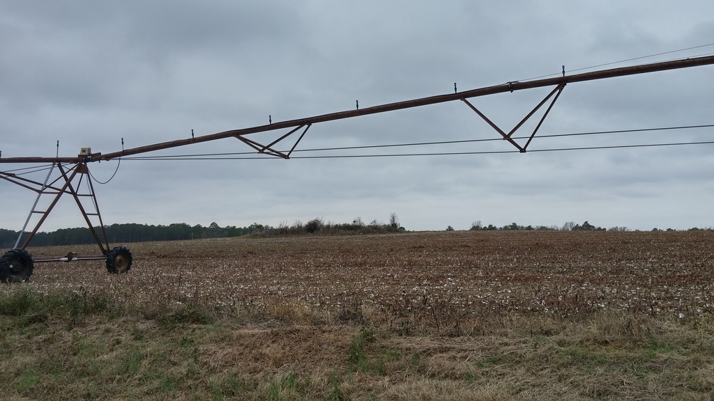
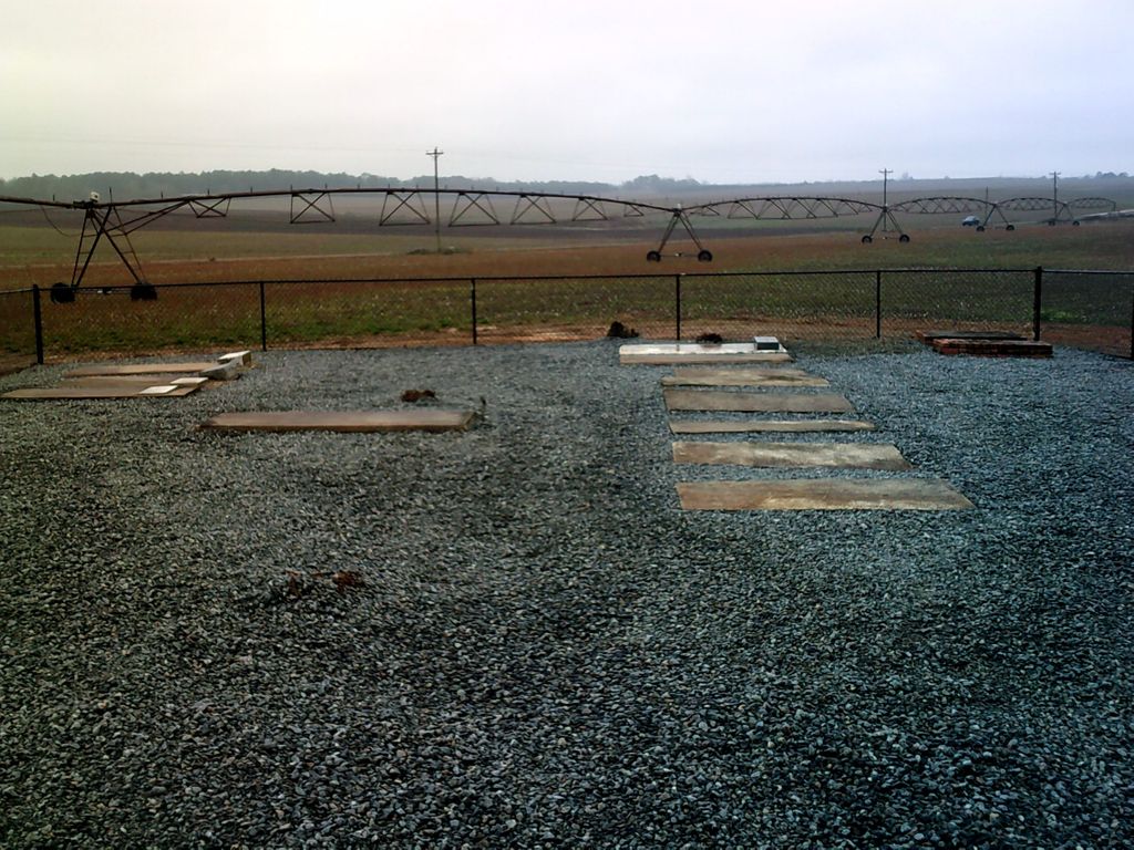
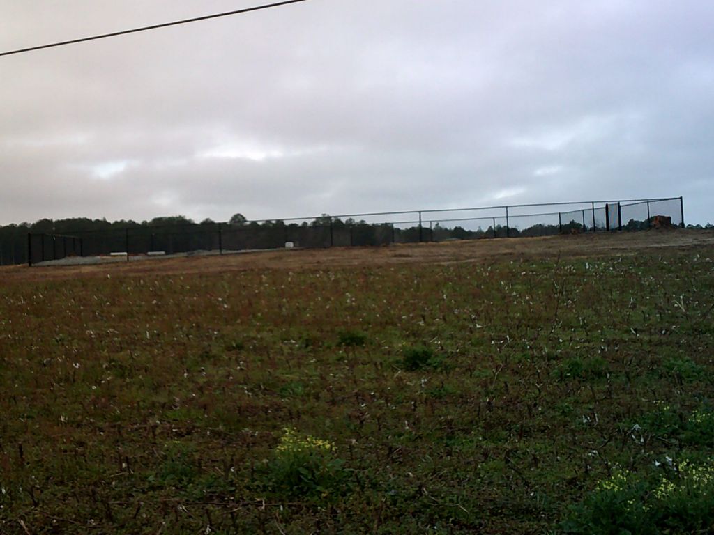
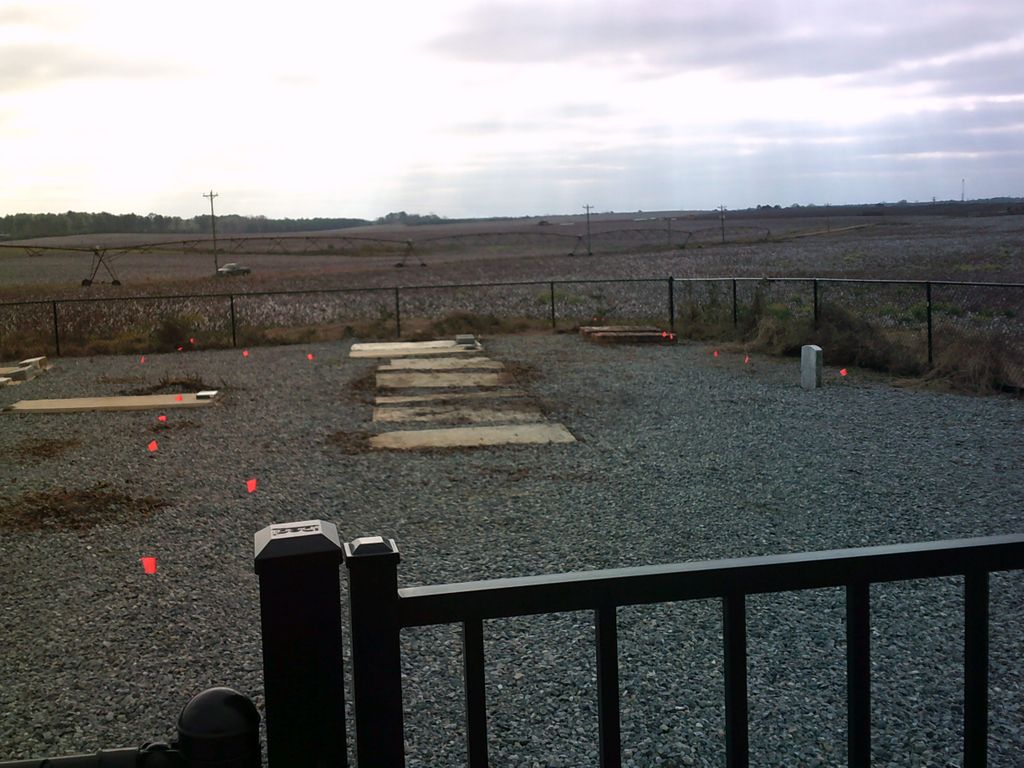
| Description | : | Located at the NW corner of the West Chicken Road and Roddy Highway intersection in northern Dodge County, the Swearingen Family Cemetery sits in the middle of a cotton field on land originally owned and farmed by four generations of the Swearingen family from the early 1800’s until about 1960 when it was sold to the Jones family. Historically, this area was opened to settlement with the Second or 1807 Georgia Land Lottery as a part of Wilkinson County and immediately became part of Laurens County on December 10th of that year. One year later on the 13th of December... Read More |
frequently asked questions (FAQ):
-
Where is Jone's Family Farm Burial Plot?
Jone's Family Farm Burial Plot is located at Dodge County ,Georgia ,USA.
-
Jone's Family Farm Burial Plot cemetery's updated grave count on graveviews.com?
0 memorials
-
Where are the coordinates of the Jone's Family Farm Burial Plot?
Latitude: 32.3665010
Longitude: -83.2674170
Nearby Cemetories:
1. Roddy Baptist Church Cemetery
Dodge County, USA
Coordinate: 32.3516630, -83.2497900
2. Barbour Cemetery
Bleckley County, USA
Coordinate: 32.3866997, -83.2546997
3. Yearty Cemetery
Empire, Dodge County, USA
Coordinate: 32.3408600, -83.2621710
4. Hood Family Cemetery
Dodge County, USA
Coordinate: 32.3367309, -83.2593776
5. Union Hill Baptist Church Cemetery
Bleckley County, USA
Coordinate: 32.3952030, -83.2822570
6. Bowers Cemetery
Empire, Dodge County, USA
Coordinate: 32.3313260, -83.2826410
7. New Hope Church Cemetery
Eastman, Dodge County, USA
Coordinate: 32.3393500, -83.3005300
8. Thankful Cemetery
Yonkers, Dodge County, USA
Coordinate: 32.3648896, -83.2204322
9. Oak Grove Primitive Baptist Church Cemetery
Cochran, Bleckley County, USA
Coordinate: 32.4055180, -83.2583290
10. Holland Cemetery
Dodge County, USA
Coordinate: 32.3962960, -83.2356880
11. Hall Cemetery
Dodge County, USA
Coordinate: 32.3300200, -83.2407700
12. Francis Family Cemetery
Cochran, Bleckley County, USA
Coordinate: 32.4066790, -83.2883760
13. Macedonia Cemetery
Dodge County, USA
Coordinate: 32.3950005, -83.2230988
14. Rogers-Darsey Cemetery
Dodge County, USA
Coordinate: 32.3656006, -83.2078018
15. Douglas Cemetery
Dodge County, USA
Coordinate: 32.3497009, -83.2082977
16. Faith Temple Cemetery
Cochran, Bleckley County, USA
Coordinate: 32.3855070, -83.3264900
17. Hart Cemetery
Bleckley County, USA
Coordinate: 32.3446999, -83.3285980
18. Lister Cemetery
Dodge County, USA
Coordinate: 32.3438988, -83.2024994
19. Dubois Baptist Church Cemetery
Dubois, Dodge County, USA
Coordinate: 32.3040160, -83.2746020
20. John Floyd Cemetery
Cochran, Bleckley County, USA
Coordinate: 32.3609890, -83.3432130
21. Bethany Baptist Church Cemetery
Cochran, Bleckley County, USA
Coordinate: 32.4128930, -83.3216970
22. Cedar Hill Cemetery
Cochran, Bleckley County, USA
Coordinate: 32.3963060, -83.3388560
23. Floyd Family Cemetery
Cochran, Bleckley County, USA
Coordinate: 32.3249280, -83.3307010
24. Jones Cemetery
Bleckley County, USA
Coordinate: 32.4343987, -83.2850037


