
| Memorials | : | 0 |
| Location | : | Hauula, Honolulu County, USA |
| Coordinate | : | 21.5524480, -157.8710320 |
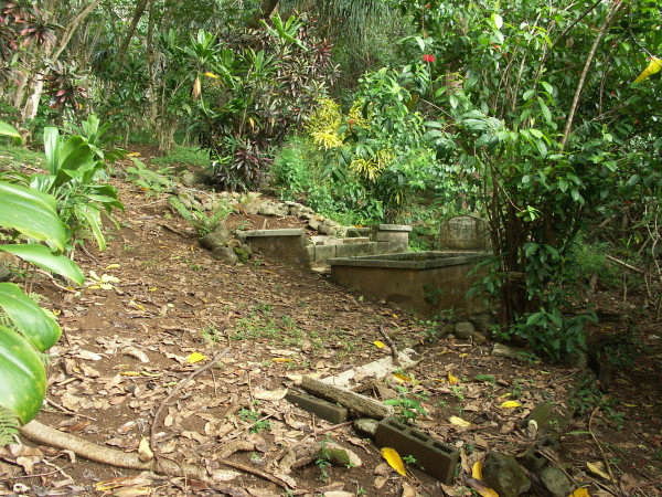
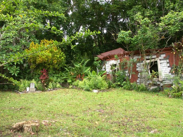
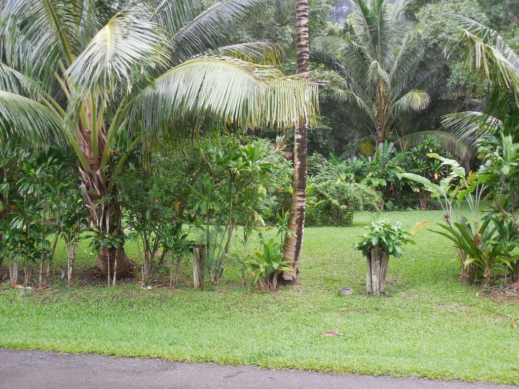
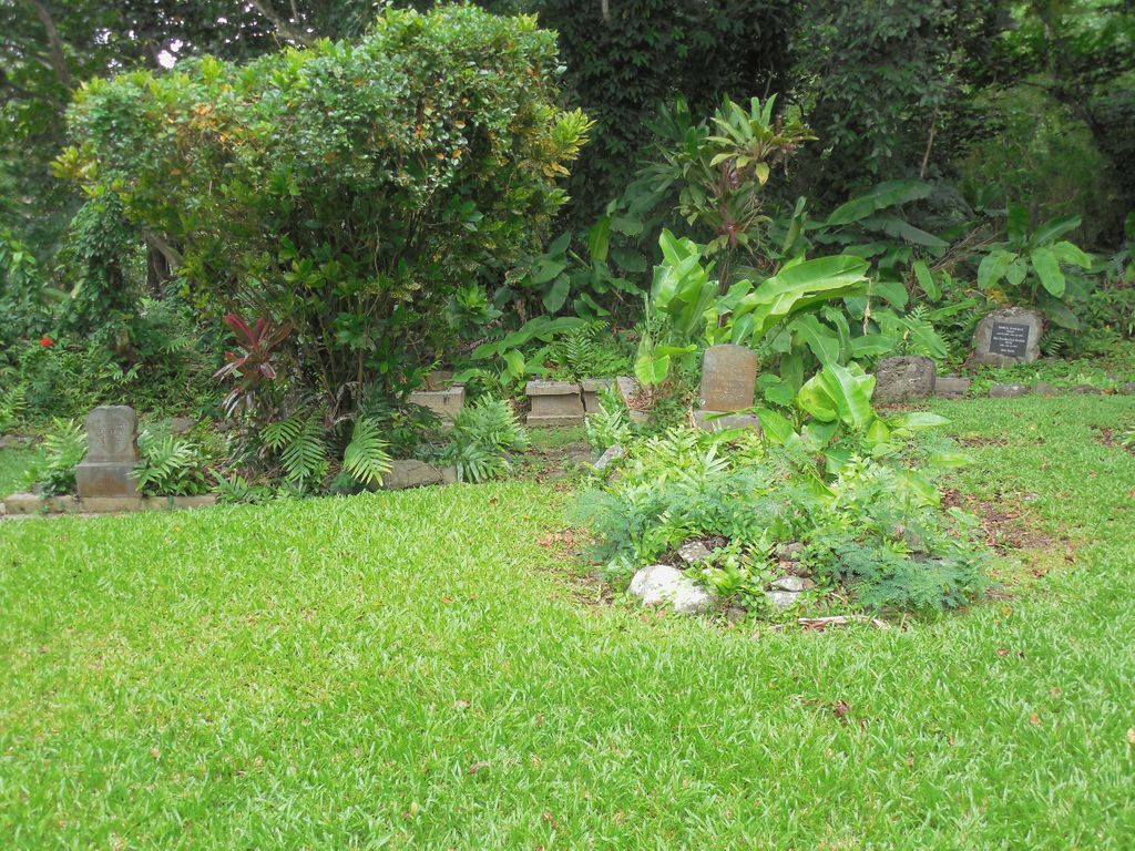
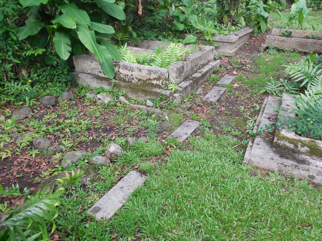
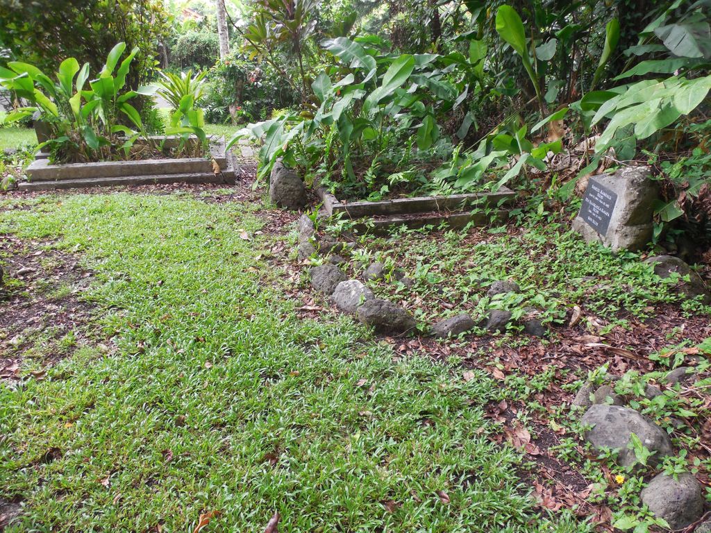
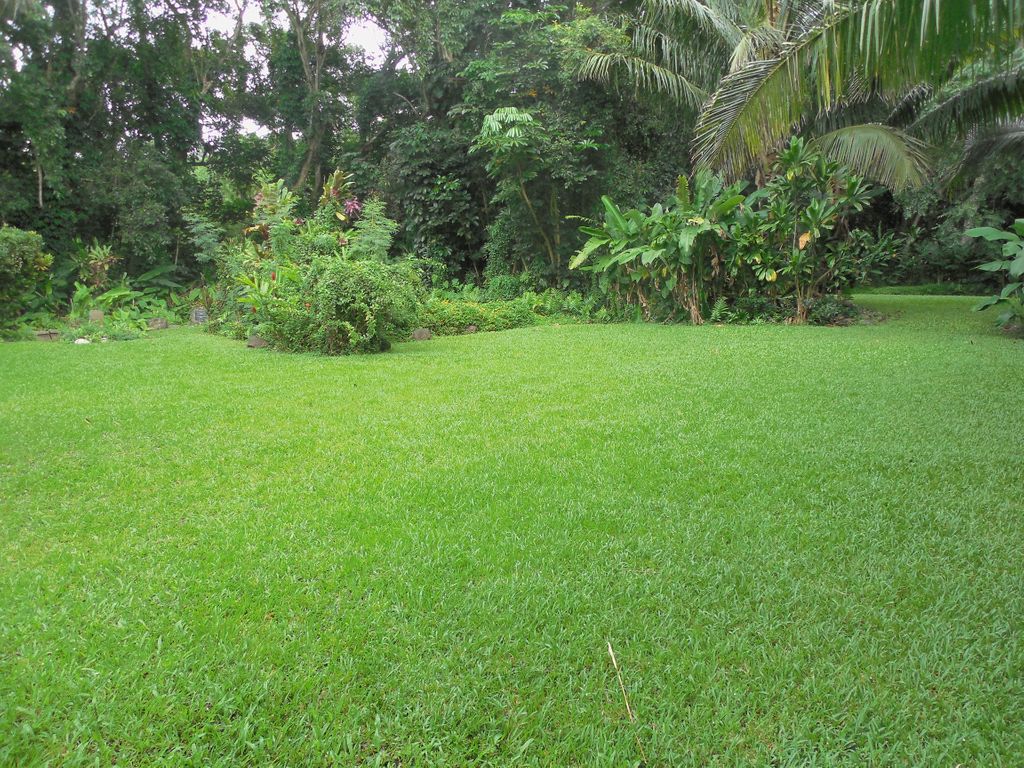
| Description | : | According to oral reports, the site used to be the location of a Mormon chapel. There are two sections. The lower section is by the street, just inside the hedge near a collapsed building. The upper lot is about 300 feet from the road,( 21.55184° -157.87050° ) lying alongside a hiking trail that starts at the back right of the property. The cemetery contains a number of unidentified graves. As of 2011, all identifiable ones have been photographed. Any photo requests for graves without photos will need additional information to locate them. The cemetery name was chosen... Read More |
frequently asked questions (FAQ):
-
Where is Kahana Trout Farm Road Cemetery?
Kahana Trout Farm Road Cemetery is located at Trout Farm Road Hauula, Honolulu County ,Hawaii , 96717USA.
-
Kahana Trout Farm Road Cemetery cemetery's updated grave count on graveviews.com?
0 memorials
-
Where are the coordinates of the Kahana Trout Farm Road Cemetery?
Latitude: 21.5524480
Longitude: -157.8710320

Nearby Cemetories:
1. Kahana Park Cemetery
Hauula, Honolulu County, USA
Coordinate: 21.5552600, -157.8760000
2. Lane Family Burial Site
Hauula, Honolulu County, USA
Coordinate: 21.5840188, -157.8931083
3. Saint Jouchim Church Cemetery
Hauula, Honolulu County, USA
Coordinate: 21.5882700, -157.8888400
4. Our Lady of Mount Carmel Cemetery
Kaneohe, Honolulu County, USA
Coordinate: 21.4950900, -157.8518700
5. Waikane Congregational Church Cemetery
Kaneohe, Honolulu County, USA
Coordinate: 21.4951400, -157.8511500
6. Hauula Community Cemetery
Hauula, Honolulu County, USA
Coordinate: 21.6113300, -157.9127400
7. Laie Pioneer Memorial Cemetery
Laie, Honolulu County, USA
Coordinate: 21.6480500, -157.9322500
8. Laie Cemetery
Laie, Honolulu County, USA
Coordinate: 21.6521206, -157.9313660
9. Laie Community Cemetery
Laie, Honolulu County, USA
Coordinate: 21.6523200, -157.9360200
10. Valley of the Temples Memorial Park
Kaneohe, Honolulu County, USA
Coordinate: 21.4381008, -157.8311005
11. Kahuku Catholic Cemetery
Kahuku, Honolulu County, USA
Coordinate: 21.6771600, -157.9435500
12. Saint Ann's Church Cemetery
Kaneohe, Honolulu County, USA
Coordinate: 21.4191000, -157.8067300
13. Kahuku Japanese Cemetery
Kahuku, Honolulu County, USA
Coordinate: 21.6842400, -157.9455100
14. Greenhaven Memorial Park
Kaneohe, Honolulu County, USA
Coordinate: 21.4146800, -157.7932300
15. Mililani Memorial Park
Waipahu, Honolulu County, USA
Coordinate: 21.4399700, -157.9886700
16. Silva Family Cemetery
Kaneohe, Honolulu County, USA
Coordinate: 21.4032116, -157.8058319
17. Watson Family Cemetery
Kaneohe, Honolulu County, USA
Coordinate: 21.3986980, -157.8088820
18. Hawaiian Memorial Park
Kaneohe, Honolulu County, USA
Coordinate: 21.3917000, -157.7946900
19. Hawaii State Veterans Cemetery
Kaneohe, Honolulu County, USA
Coordinate: 21.3905163, -157.7894745
20. Lockview B Cemetery
Pearl City, Honolulu County, USA
Coordinate: 21.3920900, -157.9662600
21. Sunset Memorial Park
Pearl City, Honolulu County, USA
Coordinate: 21.3921000, -157.9689800
22. Aiea Plantation Cemetery
Aiea, Honolulu County, USA
Coordinate: 21.3749770, -157.9319700
23. Schofield Barracks Post Cemetery
Honolulu County, USA
Coordinate: 21.4839993, -158.0585022
24. Emmanuel Episcopal Church Memorial Garden
Kailua, Honolulu County, USA
Coordinate: 21.4022198, -157.7394409