
| Memorials | : | 0 |
| Location | : | Namibia |
| Coordinate | : | -28.0118540, 18.7483860 |
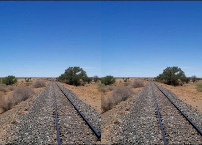
| Description | : | Karasburg (Khoekhoe: ǀNomsoros, old name Afrikaans: Kalkfontein, literally "carst spring") is a town in the Karas Region of southern Namibia and the district capital of the Karasburg electoral constituency. Karasburg (formerly Kalkfontein South) was occupied by the Southern Force, and in April 1915, became, for a time, its headquarters.The cemetery, which contains South African burials and German burials of the First World War and previous wars, is situated on railway property between the main road and the railway line on the outskirts of the town in the direction of Keetmanshoop. |
frequently asked questions (FAQ):
-
Where is Karasburg Cemetery?
Karasburg Cemetery is located at Karas ,Namibia.
-
Karasburg Cemetery cemetery's updated grave count on graveviews.com?
0 memorials
-
Where are the coordinates of the Karasburg Cemetery?
Latitude: -28.0118540
Longitude: 18.7483860
Nearby Cemetories:
1. Warmbad Historical Cemetery
Warmbad, Namibia
Coordinate: -28.4421780, 18.7312750
2. Aluriesfontein German War Cemetery
Namibia
Coordinate: -28.5333357, 18.6999896
3. Narudas German War Cemetery
Namibia
Coordinate: -27.3715641, 18.8545691
4. Hudab Cemetery
Namibia
Coordinate: -27.7359440, 19.4336940
5. Eendorn Namibia Cemetery
Namibia
Coordinate: -28.6657166, 18.9149618
6. Klein Karas Cemetery
Namibia
Coordinate: -27.5674440, 18.0745830
7. Jerusalem Karas Cemetery
Namibia
Coordinate: -28.3912500, 19.6090830
8. Mission Station Cemetery
Onseepkans, Namakwa District Municipality, South Africa
Coordinate: -28.7758773, 19.2688760
9. Haklesdoorn German War Cemetery
Namibia
Coordinate: -28.8787214, 18.3339237
10. Ariamsvlei Main Cemetery
Namibia
Coordinate: -28.1095830, 19.8293830
11. Gaiams Gondwana C37 Cemetery
Namibia
Coordinate: -27.7375000, 17.7052220
12. Geitsanes Cemetery
Namibia
Coordinate: -27.0493381, 19.0077965
13. Nousmond Farm Cemetery
Riemvasmaak, ZF Mgcawu District Municipality, South Africa
Coordinate: -28.5669600, 19.6975600
14. Kanabeam South Ais-Ais Cemetery
Namibia
Coordinate: -28.1234170, 17.5754440
15. Guigatsis Narubis Karas Cemetery
Namibia
Coordinate: -26.9638276, 18.6354748
16. Warmfontein Meters Cemetery
Namibia
Coordinate: -27.0322267, 19.2401791
17. Pella Cemetery
Pella, Namakwa District Municipality, South Africa
Coordinate: -29.0301270, 19.1525558
18. Cathedral of the Immaculate Conception
Pella, Namakwa District Municipality, South Africa
Coordinate: -29.0316370, 19.1539760
19. Sandmodder Karas Cemetery
Namibia
Coordinate: -26.9232946, 18.8774871
20. Kantorragas Farm Cemetery
Bladgrond-Noord, ZF Mgcawu District Municipality, South Africa
Coordinate: -28.7967600, 19.8121300
21. Rooiwal Suid Cemetery
Rooiwal Suid, Namakwa District Municipality, South Africa
Coordinate: -28.7104974, 17.5951543
22. Vioolsdrif Old Cemetery
Vioolsdrif, Namakwa District Municipality, South Africa
Coordinate: -28.7796122, 17.6428072
23. Pofadder West Cemetery
Pofadder, Namakwa District Municipality, South Africa
Coordinate: -29.1232409, 19.3793432
24. Pofadder Catholic Cemetery
Pofadder, Namakwa District Municipality, South Africa
Coordinate: -29.1251007, 19.3863490