
| Memorials | : | 0 |
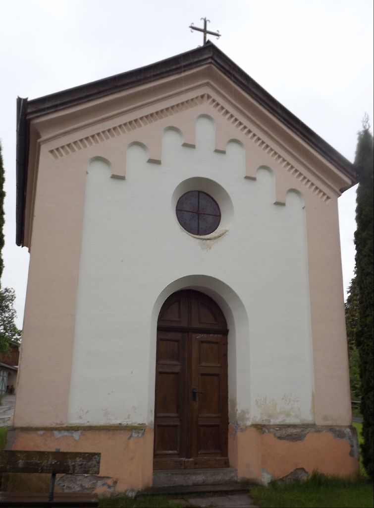
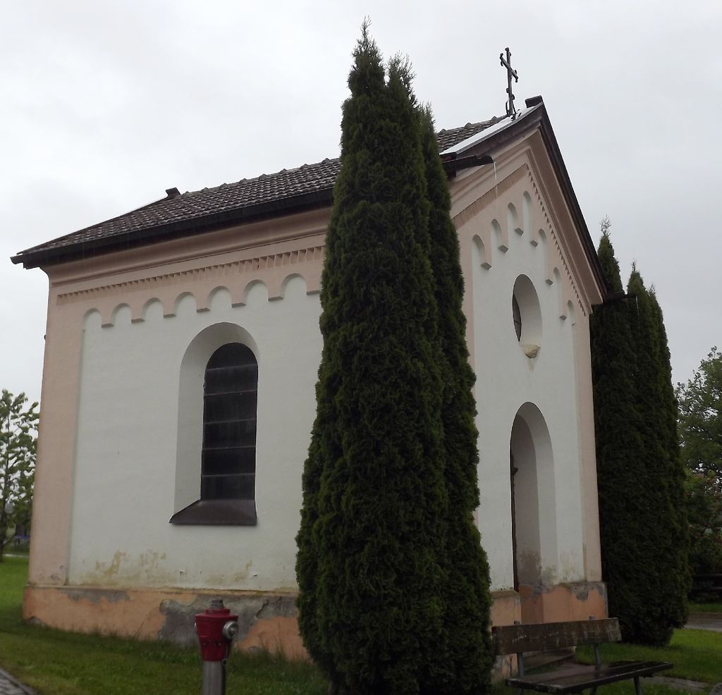
| Location | : | Oberhochstatt, Landkreis Traunstein, Germany |
| Coordinate | : | 47.8732100, 12.5408200 |
frequently asked questions (FAQ):
-
Where is Katholische Kapelle von Oberhochstätt?
Katholische Kapelle von Oberhochstätt is located at Oberhochstatt, Landkreis Traunstein ,Bavaria (Bayern) ,Germany.
-
Katholische Kapelle von Oberhochstätt cemetery's updated grave count on graveviews.com?
0 memorials
-
Where are the coordinates of the Katholische Kapelle von Oberhochstätt?
Latitude: 47.8732100
Longitude: 12.5408200
Nearby Cemetories:
1. Friedhof Traunstein
Traunstein, Landkreis Traunstein, Germany
Coordinate: 47.8847560, 12.6349910
2. Inselfriedhof Frauenchiemsee
Stadtkreis Rosenheim, Germany
Coordinate: 47.8724820, 12.4263610
3. Fraueninsel Cemetery
Chiemsee, Landkreis Rosenheim, Germany
Coordinate: 47.8724890, 12.4248170
4. Friedhof Traunwalchen
Traunwalchen, Landkreis Traunstein, Germany
Coordinate: 47.9417477, 12.6029173
5. Friedhof Siegsdorf
Siegsdorf, Landkreis Traunstein, Germany
Coordinate: 47.8241320, 12.6470410
6. Friedhof Breitbrunn
Breitbrunn am Chiemsee, Landkreis Rosenheim, Germany
Coordinate: 47.8888515, 12.4006793
7. Friedhof St. Georgen
Sankt Georgen, Landkreis Traunstein, Germany
Coordinate: 47.9714402, 12.5638597
8. Waldfriedhof Traunreut
Traunreut, Landkreis Traunstein, Germany
Coordinate: 47.9651947, 12.6017370
9. Seeon Abbey
Seeon-Seebruck, Landkreis Traunstein, Germany
Coordinate: 47.9751830, 12.4483930
10. Waldfriedhof Altenmarkt
Altenmarkt an der Alz, Landkreis Traunstein, Germany
Coordinate: 47.9991731, 12.5271219
11. Cemetery of Marquartstein
Marquartstein, Landkreis Traunstein, Germany
Coordinate: 47.7584690, 12.4605760
12. Sankt-Laurentius
Bernau am Chiemsee, Landkreis Rosenheim, Germany
Coordinate: 47.8123291, 12.3747875
13. Alter Friedhof Rohpolding
Ruhpolding, Landkreis Traunstein, Germany
Coordinate: 47.7606220, 12.6418940
14. Friedhof Prien am Chiemsee
Prien am Chiemsee, Landkreis Rosenheim, Germany
Coordinate: 47.8586140, 12.3440160
15. Friedhof Hittenkirchen
Hittenkirchen, Landkreis Rosenheim, Germany
Coordinate: 47.8232690, 12.3452480
16. Waging
Waging am See, Landkreis Traunstein, Germany
Coordinate: 47.9335913, 12.7403527
17. Kirchenfriedhof St. Laurentius, Obing
Obing, Landkreis Traunstein, Germany
Coordinate: 48.0011952, 12.4079182
18. Friedhof Trostberg
Trostberg an der Alz, Landkreis Traunstein, Germany
Coordinate: 48.0314459, 12.5579546
19. Antwort
Antwort, Landkreis Rosenheim, Germany
Coordinate: 47.8914389, 12.3047614
20. Gemeindefriedhof Obing
Obing, Landkreis Traunstein, Germany
Coordinate: 48.0056124, 12.4067529
21. Friedhof Niederachen
Inzell, Landkreis Traunstein, Germany
Coordinate: 47.7609436, 12.7374220
22. Gemeindefriedhof Aschau
Aschau im Chiemgau, Landkreis Rosenheim, Germany
Coordinate: 47.7811260, 12.3207480
23. Friedhof Schleching
Schleching, Landkreis Traunstein, Germany
Coordinate: 47.7233250, 12.4024810
24. Saint Remigus
Schleching, Landkreis Traunstein, Germany
Coordinate: 47.7200850, 12.3957860