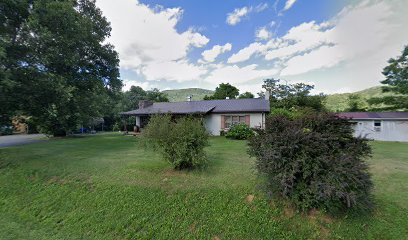
| Memorials | : | 4 |
| Location | : | Cana, Carroll County, USA |
| Coordinate | : | 36.6211420, -80.7020900 |
| Description | : | According to the Carroll County Cemetery Book Located on Pauls Creek Road 1 mile from the Flowers Gap Road Intersection Map is General Area |
frequently asked questions (FAQ):
-
Where is King Family Cemetery?
King Family Cemetery is located at Cana, Carroll County ,Virginia ,USA.
-
King Family Cemetery cemetery's updated grave count on graveviews.com?
4 memorials
-
Where are the coordinates of the King Family Cemetery?
Latitude: 36.6211420
Longitude: -80.7020900
Nearby Cemetories:
1. King-Jones Cemetery
Cana, Carroll County, USA
Coordinate: 36.6224890, -80.7033540
2. King Cemetery
Cana, Carroll County, USA
Coordinate: 36.6170430, -80.7070900
3. Fancy Gap Pentecostal Holiness Church Cemetery
Cana, Carroll County, USA
Coordinate: 36.6227090, -80.7150880
4. Claucy William Hawks Family Cemetery
Cana, Carroll County, USA
Coordinate: 36.6236190, -80.7151980
5. Edwards Cemetery
Cana, Carroll County, USA
Coordinate: 36.6154480, -80.6904890
6. Pauls Creek Baptist Church Cemetery
Cana, Carroll County, USA
Coordinate: 36.6072870, -80.6976360
7. Sandy Ridge Primitive Baptist Church Cemetery
Cana, Carroll County, USA
Coordinate: 36.6089030, -80.7131890
8. Rigney Family Cemetery
Cana, Carroll County, USA
Coordinate: 36.6233650, -80.6806990
9. Frances Caroline Edwards Family Cemetery
Cana, Carroll County, USA
Coordinate: 36.6089000, -80.7193140
10. Rocky Ford Christian Church Cemetery
Cana, Carroll County, USA
Coordinate: 36.6080580, -80.6857110
11. Leftwich Family Cemetery
Cana, Carroll County, USA
Coordinate: 36.6211110, -80.6758350
12. Nathaniel Samuel Jones Family Cemetery
Cana, Carroll County, USA
Coordinate: 36.6047060, -80.7186010
13. Jones-Fleming Cemetery
Carroll County, USA
Coordinate: 36.6012360, -80.7114230
14. Morris Cemetery
Fancy Gap, Carroll County, USA
Coordinate: 36.6460991, -80.7018967
15. Marion Cemetery
Cana, Carroll County, USA
Coordinate: 36.6055090, -80.7284550
16. Gray Cemetery
Cana, Carroll County, USA
Coordinate: 36.5943420, -80.7034040
17. Bear Trail Baptist Church Cemetery
Cana, Carroll County, USA
Coordinate: 36.6263910, -80.6655010
18. Smith Family Cemetery
Fancy Gap, Carroll County, USA
Coordinate: 36.6457140, -80.7244220
19. Johnson-Leftwich Cemetery
Fancy Gap, Carroll County, USA
Coordinate: 36.6331620, -80.7381820
20. Tate Cemetery
Fancy Gap, Carroll County, USA
Coordinate: 36.6522590, -80.6835610
21. Wisler Cemetery
Cana, Carroll County, USA
Coordinate: 36.5933240, -80.6756550
22. Wash Edwards Cemetery
Fancy Gap, Carroll County, USA
Coordinate: 36.6505890, -80.6777920
23. Thomas Cemetery
Fancy Gap, Carroll County, USA
Coordinate: 36.6312940, -80.6592180
24. Phibbs Cemetery
Fancy Gap, Carroll County, USA
Coordinate: 36.6573130, -80.7122450

