
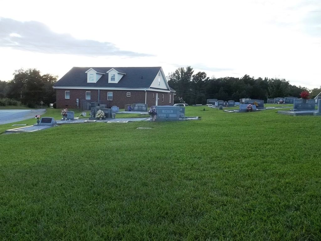
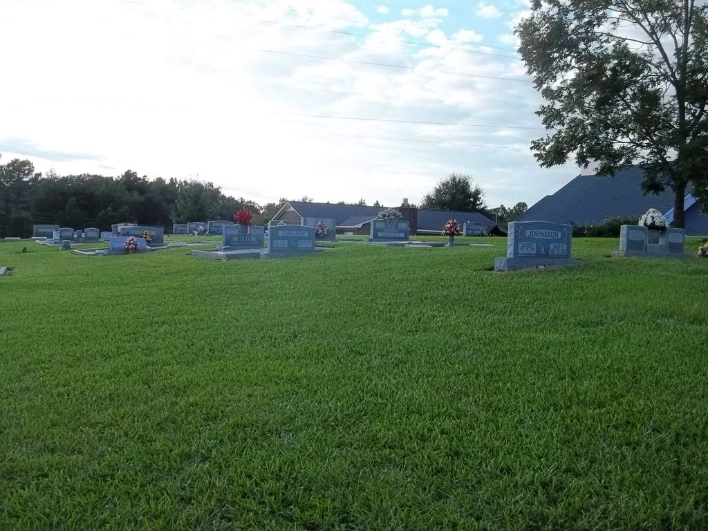
| Memorials | : | 87 |
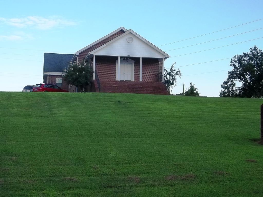
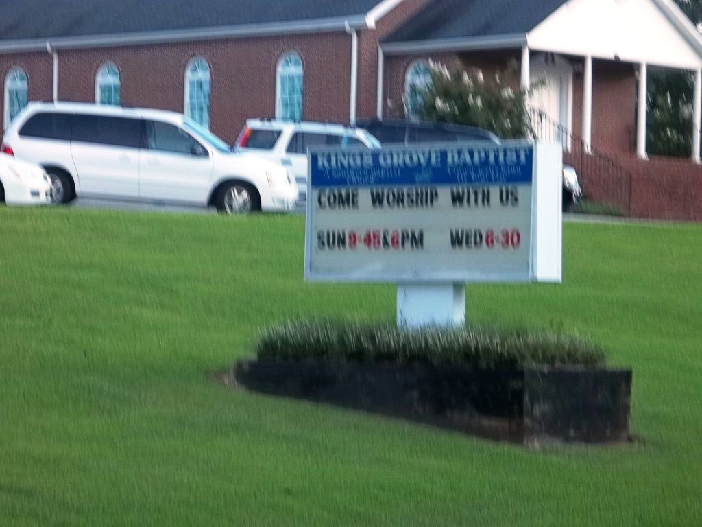
| Location | : | Central, Pickens County, USA |
| Coordinate | : | 34.7829000, -82.8574000 |
| Description | : | Church is about 2 ½ miles from Six Mile, SC but has a Central, SC street address. |
frequently asked questions (FAQ):
-
Where is Kings Grove Baptist Church Cemetery?
Kings Grove Baptist Church Cemetery is located at 1335 Old Seneca Road Central, Pickens County ,South Carolina , 29630USA.
-
Kings Grove Baptist Church Cemetery cemetery's updated grave count on graveviews.com?
87 memorials
-
Where are the coordinates of the Kings Grove Baptist Church Cemetery?
Latitude: 34.7829000
Longitude: -82.8574000
Nearby Cemetories:
1. Robert Morgan-Cannon Family
Central, Pickens County, USA
Coordinate: 34.7820850, -82.8521350
2. Morgan Family Cemetery
Central, Pickens County, USA
Coordinate: 34.7825670, -82.8750170
3. Powers Family Cemetery
Pickens County, USA
Coordinate: 34.7966500, -82.8755170
4. Old Kings Grove Baptist Church Cemetery
Central, Pickens County, USA
Coordinate: 34.7648330, -82.8737500
5. Old Pickens Cemetery
Old Pickens, Oconee County, USA
Coordinate: 34.7910995, -82.8867035
6. Craig Memorial Cemetery
Old Pickens, Oconee County, USA
Coordinate: 34.7914848, -82.8876801
7. Pleasant Hill Baptist Church Cemetery
Central, Pickens County, USA
Coordinate: 34.7633018, -82.8324966
8. Little-Jenkins Cemetery
Oconee County, USA
Coordinate: 34.7883730, -82.8916650
9. Cary Cemetery
Oconee County, USA
Coordinate: 34.7700005, -82.8966980
10. Church of God of Prophecy Cemetery
Six Mile, Pickens County, USA
Coordinate: 34.7962860, -82.8183080
11. Six Mile Baptist Church Cemetery
Six Mile, Pickens County, USA
Coordinate: 34.8074989, -82.8214035
12. Mount Olivet Wesleyan Church Cemetery
Six Mile, Pickens County, USA
Coordinate: 34.8121430, -82.8242680
13. Lawrence Chapel United Methodist Church Cemetery
Central, Pickens County, USA
Coordinate: 34.7447014, -82.8360977
14. New Foundation Cemetery
Oconee County, USA
Coordinate: 34.7668991, -82.9077988
15. Pleasant Hill Baptist (Old)
Central, Pickens County, USA
Coordinate: 34.7606670, -82.8082870
16. Gap Hill Baptist Church Cemetery
Six Mile, Pickens County, USA
Coordinate: 34.8293991, -82.8613968
17. Poplar Springs Baptist Church Cemetery
Central, Pickens County, USA
Coordinate: 34.7391014, -82.8273010
18. Welcome Baptist Church Cemetery
Central, Pickens County, USA
Coordinate: 34.7580500, -82.8037330
19. Dodd Family Cemetery
Westminster, Oconee County, USA
Coordinate: 34.7327499, -82.8743134
20. Camp Creek Baptist Church Cemetery
Six Mile, Pickens County, USA
Coordinate: 34.7880360, -82.7879620
21. Cedar Hill Holiness Church Cemetery
Six Mile, Pickens County, USA
Coordinate: 34.8324530, -82.8202970
22. High Falls Cemetery
Oconee County, USA
Coordinate: 34.8013992, -82.9310989
23. Lawrence Family Cemetery
Clemson, Pickens County, USA
Coordinate: 34.7180830, -82.8470170
24. Stephens Family Cemetery
Pickens, Pickens County, USA
Coordinate: 34.8521060, -82.8735060