
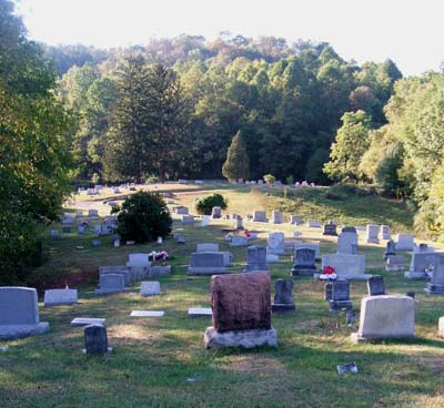
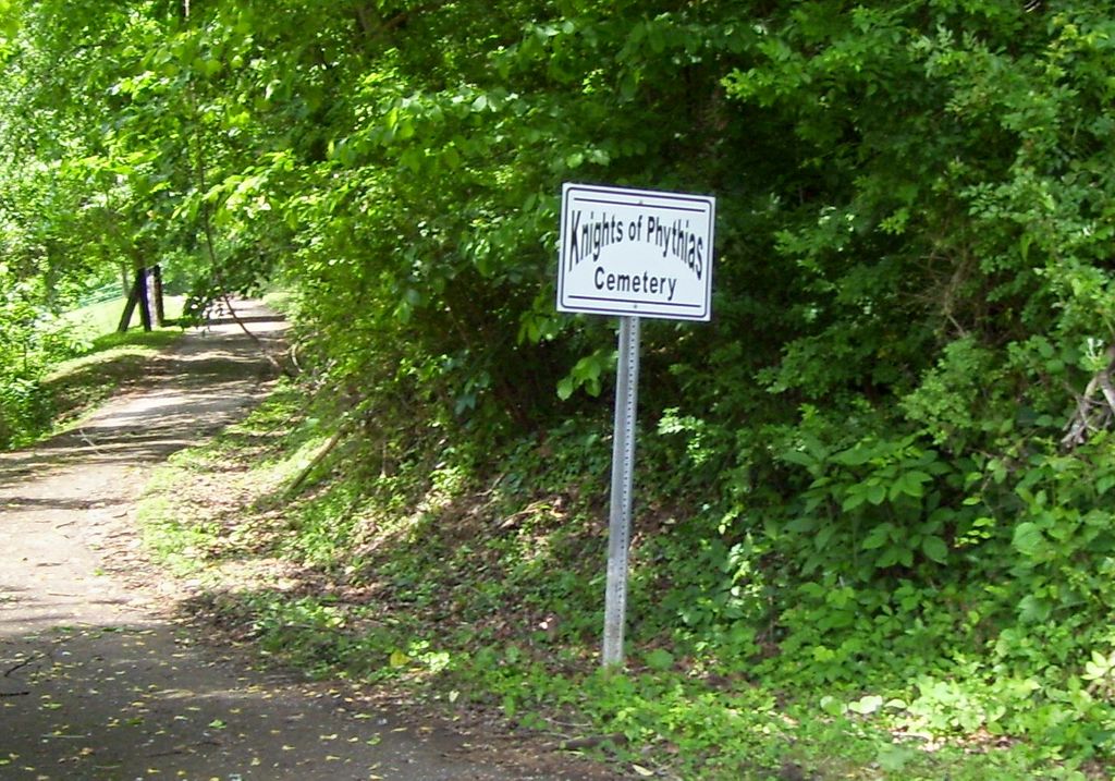
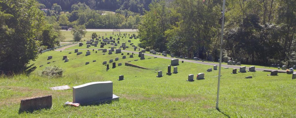
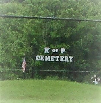
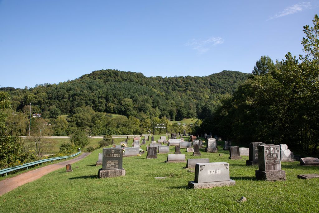
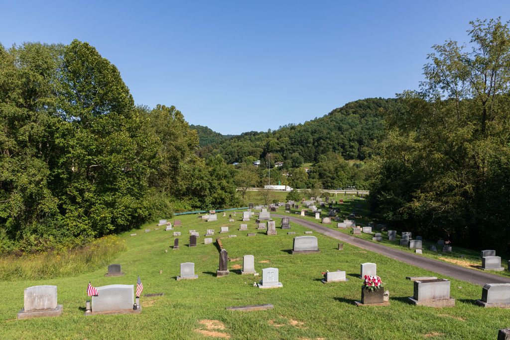
| Memorials | : | 678 |
| Location | : | Burnsville, Braxton County, USA |
| Coordinate | : | 38.8560780, -80.6668700 |
| Description | : | From I-79 at Burnsville, take Wabash Street past Go Mart (0.3 mi); turn right on Second Street and follow signage up the hill to the cemetery. |
frequently asked questions (FAQ):
-
Where is Knights of Pythias Cemetery?
Knights of Pythias Cemetery is located at Burnsville, Braxton County ,West Virginia ,USA.
-
Knights of Pythias Cemetery cemetery's updated grave count on graveviews.com?
675 memorials
-
Where are the coordinates of the Knights of Pythias Cemetery?
Latitude: 38.8560780
Longitude: -80.6668700

Nearby Cemetories:
1. Hoover Cemetery
Burnsville, Braxton County, USA
Coordinate: 38.8619600, -80.6644170
2. Odd Fellows Cemetery
Burnsville, Braxton County, USA
Coordinate: 38.8455800, -80.6682700
3. Wine Family Cemetery
Gem, Braxton County, USA
Coordinate: 38.8455820, -80.6694960
4. Feeney Cemetery
Braxton County, USA
Coordinate: 38.8542309, -80.6482196
5. Haymond Cemetery
Burnsville, Braxton County, USA
Coordinate: 38.8388090, -80.6670910
6. Barrett Cemetery
Burnsville, Braxton County, USA
Coordinate: 38.8778000, -80.6528015
7. Nicholson Family Cemetery
Burnsville, Braxton County, USA
Coordinate: 38.8461370, -80.6962490
8. Longshoal Cemetery
Gilmer, Gilmer County, USA
Coordinate: 38.8774030, -80.7055340
9. Quickle Cemetery
Burnsville, Braxton County, USA
Coordinate: 38.8482000, -80.6197000
10. Copen Cemetery
Copen, Braxton County, USA
Coordinate: 38.8183780, -80.6827780
11. Unity Memorial Garden
Eastover, Richland County, USA
Coordinate: 38.8840220, -80.7040760
12. Right Hand Fork Cemetery
Gem, Braxton County, USA
Coordinate: 38.8200680, -80.6949380
13. Locust Knob Cemetery
Stouts Mills, Gilmer County, USA
Coordinate: 38.8990000, -80.6880000
14. King Cemetery
Braxton County, USA
Coordinate: 38.8308320, -80.7167780
15. John W Singleton Cemetery
Gem, Braxton County, USA
Coordinate: 38.8106370, -80.6412610
16. Snyder Cemetery
Gilmer County, USA
Coordinate: 38.9006004, -80.6964035
17. Tomblin Cemetery
Blackburn, Gilmer County, USA
Coordinate: 38.9076650, -80.6597330
18. Tumbling Cemetery
Gilmer County, USA
Coordinate: 38.9085999, -80.6594009
19. Canfield Cemetery
Gilmer, Gilmer County, USA
Coordinate: 38.9071999, -80.6900024
20. Conrad Cemetery
Stouts Mills, Gilmer County, USA
Coordinate: 38.8869019, -80.7264023
21. Riffles Run Cemetery
Burnsville, Braxton County, USA
Coordinate: 38.8474900, -80.5944100
22. Stout Cemetery
Stouts Mills, Gilmer County, USA
Coordinate: 38.8863000, -80.7341000
23. John Rhea Squires Family Cemetery
Gem, Braxton County, USA
Coordinate: 38.8010723, -80.7003096
24. Smith Cemetery
Stouts Mills, Gilmer County, USA
Coordinate: 38.8901800, -80.7333800