
| Memorials | : | 43 |
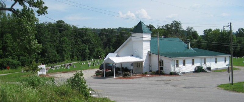
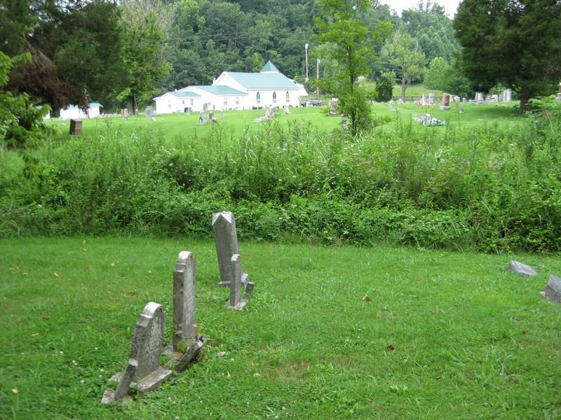
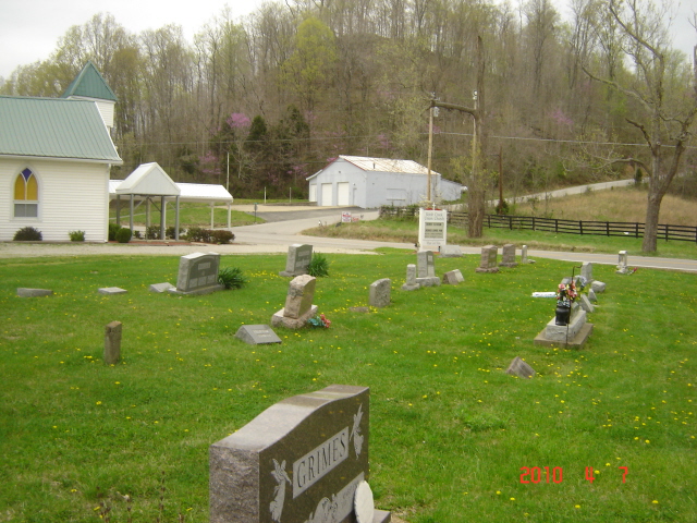
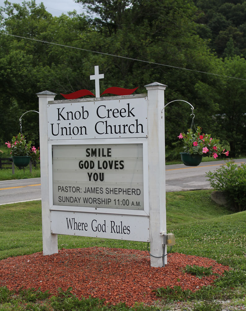
| Location | : | Cupio, Bullitt County, USA |
| Coordinate | : | 38.0121910, -85.8800410 |
frequently asked questions (FAQ):
-
Where is Knob Creek Union Church Cemetery?
Knob Creek Union Church Cemetery is located at 10439 West Highway 44 Cupio, Bullitt County ,Kentucky ,USA.
-
Knob Creek Union Church Cemetery cemetery's updated grave count on graveviews.com?
43 memorials
-
Where are the coordinates of the Knob Creek Union Church Cemetery?
Latitude: 38.0121910
Longitude: -85.8800410
Nearby Cemetories:
1. Vaughn Cemetery #2
Shepherdsville, Bullitt County, USA
Coordinate: 38.0191630, -85.8698700
2. Stowers Cemetery
Shepherdsville, Bullitt County, USA
Coordinate: 38.0011350, -85.8828970
3. Begthol Cemetery
Brooks, Bullitt County, USA
Coordinate: 38.0226310, -85.8704330
4. Croan Cemetery
Shepherdsville, Bullitt County, USA
Coordinate: 38.0103580, -85.8636990
5. King De Marsh Cemetery
Shepherdsville, Bullitt County, USA
Coordinate: 38.0224330, -85.8655650
6. McNutt Cemetery
Bullitt County, USA
Coordinate: 38.0257988, -85.8942032
7. King Cemetery
Shepherdsville, Bullitt County, USA
Coordinate: 38.0291610, -85.8680380
8. Vaughn Cemetery
Shepherdsville, Bullitt County, USA
Coordinate: 38.0133180, -85.8507370
9. Pauley Cemetery
Bullitt County, USA
Coordinate: 38.0355988, -85.8760986
10. Ann Clark Cemetery (Defunct)
Shepherdsville, Bullitt County, USA
Coordinate: 37.9983250, -85.8538560
11. Funk Cemetery #2
Shepherdsville, Bullitt County, USA
Coordinate: 38.0097610, -85.8470810
12. Ormes Cemetery
Shepherdsville, Bullitt County, USA
Coordinate: 37.9905560, -85.8994460
13. Skinner Cemetery (Defunct)
Shepherdsville, Bullitt County, USA
Coordinate: 37.9886200, -85.8622270
14. Brasher Graveyard
Shepherdsville, Bullitt County, USA
Coordinate: 38.0326810, -85.8561250
15. Ashby Cemetery (Defunct)
Shepherdsville, Bullitt County, USA
Coordinate: 37.9908290, -85.8555470
16. Johnson Cemetery
Fort Knox, Bullitt County, USA
Coordinate: 37.9981003, -85.9132996
17. Applegate Cemetery
Kosmosdale, Jefferson County, USA
Coordinate: 38.0308890, -85.9132920
18. Anderson Cemetery
Fort Knox, Bullitt County, USA
Coordinate: 37.9841995, -85.8574982
19. Arnold Cemetery
Louisville, Jefferson County, USA
Coordinate: 38.0452286, -85.8887288
20. Funk Cemetery #1
Shepherdsville, Bullitt County, USA
Coordinate: 38.0172370, -85.8338030
21. Brown Cemetery
Jefferson County, USA
Coordinate: 38.0489006, -85.8638992
22. Pendleton Cemetery
Bullitt County, USA
Coordinate: 38.0443993, -85.8510971
23. Colvin Cemetery
Harrison County, USA
Coordinate: 38.0381012, -85.9250031
24. Green Key Cemetery (Defunct)
Shepherdsville, Bullitt County, USA
Coordinate: 37.9908310, -85.8311090