
| Memorials | : | 0 |
| Location | : | Koblenz, Stadtkreis Koblenz, Germany |
| Coordinate | : | 50.3614800, 7.5853700 |
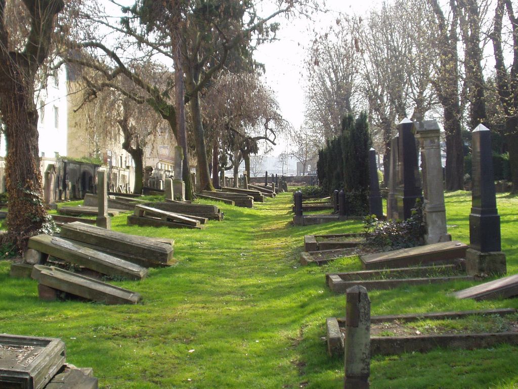
| Description | : | The cemetery is located in the north-east part of the town. From the road No.48 turn off for Koblenz industrial area and cross the River Mosel on the Europabrucke. Take the first turning on the right after crossing the bridge into Schwerztstrasse. The cemetery is in this street on the right. The entrance to the cemetery is round the corner in Mosel Weisse Strasse. The one Commonwealth war grave is located along the left hand wall. |
frequently asked questions (FAQ):
-
Where is Koblenz Jewish Cemetery?
Koblenz Jewish Cemetery is located at Koblenz, Stadtkreis Koblenz ,Rheinland-Pfalz ,Germany.
-
Koblenz Jewish Cemetery cemetery's updated grave count on graveviews.com?
0 memorials
-
Where are the coordinates of the Koblenz Jewish Cemetery?
Latitude: 50.3614800
Longitude: 7.5853700
Nearby Cemetories:
1. Florinskirche
Stadtkreis Koblenz, Germany
Coordinate: 50.3621460, 7.5972840
2. Basilika St. Kastor
Koblenz, Stadtkreis Koblenz, Germany
Coordinate: 50.3622220, 7.6044440
3. Friedhof Lützel
Koblenz, Stadtkreis Koblenz, Germany
Coordinate: 50.3759320, 7.5894950
4. Bezirksfriedhof Metternich
Koblenz, Stadtkreis Koblenz, Germany
Coordinate: 50.3735400, 7.5669510
5. St. Laurentius Cemetery
Koblenz, Stadtkreis Koblenz, Germany
Coordinate: 50.3505819, 7.5605990
6. Friedhof Ehrenbreitstein
Koblenz, Stadtkreis Koblenz, Germany
Coordinate: 50.3696490, 7.6238210
7. Vallendar Friedhof
Vallendar, Landkreis Mayen-Koblenz, Germany
Coordinate: 50.4037615, 7.6139630
8. Jüdischer Friedhof
Weitersburg, Landkreis Mayen-Koblenz, Germany
Coordinate: 50.4085867, 7.6083097
9. Friedhof Weitersburg
Weitersburg, Landkreis Mayen-Koblenz, Germany
Coordinate: 50.4113493, 7.5953938
10. Friedhof Niederlahnstein
Niederlahnstein, Rhein-Lahn-Kreis, Germany
Coordinate: 50.3105271, 7.6095782
11. Jüdischer Friedhof
Oberlahnstein, Rhein-Lahn-Kreis, Germany
Coordinate: 50.3073888, 7.6103121
12. Friedhof Bendorf
Bendorf, Landkreis Mayen-Koblenz, Germany
Coordinate: 50.4220930, 7.5813870
13. Friedhof Winningen
Winningen, Landkreis Mayen-Koblenz, Germany
Coordinate: 50.3159342, 7.5196703
14. Friedhof Engers Süd
Engers, Landkreis Neuwied, Germany
Coordinate: 50.4225667, 7.5471165
15. Friedhof Engers Nord
Engers, Landkreis Neuwied, Germany
Coordinate: 50.4290313, 7.5418685
16. Neuer Friedhof
Lahnstein, Rhein-Lahn-Kreis, Germany
Coordinate: 50.2890716, 7.6234950
17. Friedhof
Frucht, Rhein-Lahn-Kreis, Germany
Coordinate: 50.3113750, 7.6778978
18. Jüdischer Friedhof
Rhens, Landkreis Mayen-Koblenz, Germany
Coordinate: 50.2847853, 7.6060830
19. Friedhof Bad Ems
Bad Ems, Rhein-Lahn-Kreis, Germany
Coordinate: 50.3396900, 7.7130746
20. Friedhof Rhens
Rhens, Landkreis Mayen-Koblenz, Germany
Coordinate: 50.2796642, 7.6176444
21. Jüdischer Friedhof Bad Ems
Bad Ems, Rhein-Lahn-Kreis, Germany
Coordinate: 50.3422664, 7.7149293
22. Kaiserwald Bad Ems
Bad Ems, Rhein-Lahn-Kreis, Germany
Coordinate: 50.3362980, 7.7307730
23. Friedhof Kobern
Kobern, Landkreis Mayen-Koblenz, Germany
Coordinate: 50.3092374, 7.4545719
24. Alter Friedhof Neuwied
Neuwied, Landkreis Neuwied, Germany
Coordinate: 50.4271479, 7.4692204