
| Memorials | : | 3 |
| Location | : | Trail, Holmes County, USA |
| Coordinate | : | 40.5917203, -81.6795681 |
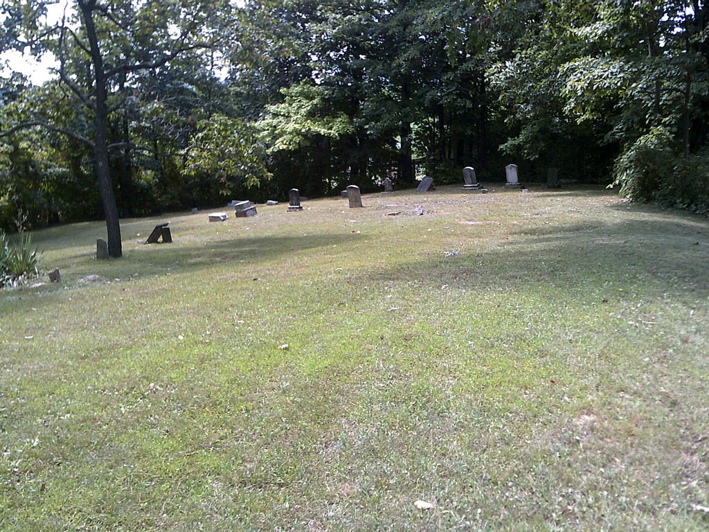
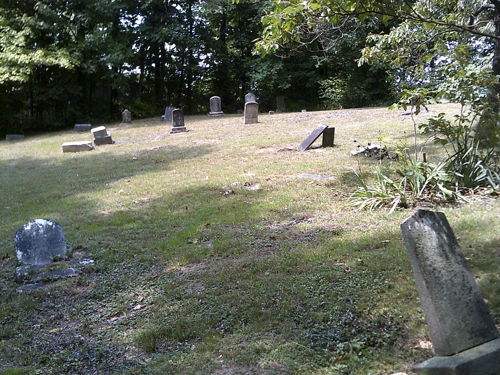
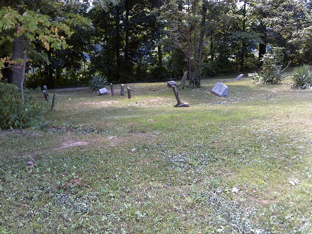
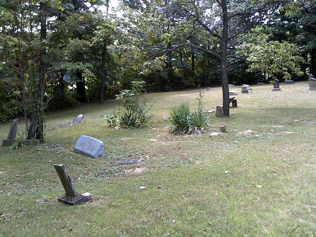
| Description | : | The cemetery is located on the west side of the entrance drive to Pine Lake Valley on the south side of Township Road 416 about 1.3 miles northeast of its junction with Township Road 168. The cemetery is located in Walnut Creek Township, Holmes County, Ohio, and is # 5710 (Kolb Cemetery) in “Ohio Cemeteries 1803-2003”, compiled by the Ohio Genealogical Society. The U.S. Geological Survey (USGS) Geographic Names Information System (GNIS) feature ID for the cemetery is 1961596 (Kolb Cemetery). |
frequently asked questions (FAQ):
-
Where is Kolb Cemetery?
Kolb Cemetery is located at Township Road 416 Trail, Holmes County ,Ohio , 44624USA.
-
Kolb Cemetery cemetery's updated grave count on graveviews.com?
3 memorials
-
Where are the coordinates of the Kolb Cemetery?
Latitude: 40.5917203
Longitude: -81.6795681
Nearby Cemetories:
1. Holmes Land Company Farm Cemetery
Trail, Holmes County, USA
Coordinate: 40.5785920, -81.6924510
2. Lower Walnut Creek Cemetery
Dundee, Tuscarawas County, USA
Coordinate: 40.5864000, -81.6530600
3. Lyle Hochstetler Farm Cemetery
Walnut Creek, Holmes County, USA
Coordinate: 40.5679280, -81.6841670
4. Orin Yoder Farm Cemetery
Dundee, Tuscarawas County, USA
Coordinate: 40.6059470, -81.6539030
5. Vera Miller Farm Cemetery
Millersburg, Holmes County, USA
Coordinate: 40.5686860, -81.6902030
6. Verna Miller Farm Cemetery
Trail, Holmes County, USA
Coordinate: 40.5686860, -81.6902040
7. Trail Swiss Church Cemetery
Winesburg, Holmes County, USA
Coordinate: 40.5775530, -81.7078440
8. West Lawn Cemetery
Winesburg, Holmes County, USA
Coordinate: 40.6119003, -81.7014008
9. Old Winesburg Cemetery
Winesburg, Holmes County, USA
Coordinate: 40.6160480, -81.6930160
10. Yoder Clutch Cemetery
Walnut Creek, Holmes County, USA
Coordinate: 40.5778400, -81.7137880
11. Gospel Light Chapel Cemetery
Holmes County, USA
Coordinate: 40.5774540, -81.7178520
12. Alvin Wengerd and Orie Miller Farms Cemetery
Trail, Holmes County, USA
Coordinate: 40.5700660, -81.7127410
13. Jonas D Miller Farm Cemetery
Trail, Holmes County, USA
Coordinate: 40.5734380, -81.7182770
14. Lister Schrock Farm Cemetery
Trail, Holmes County, USA
Coordinate: 40.5695860, -81.7162840
15. Enos Weaver Farm Cemetery
Trail, Holmes County, USA
Coordinate: 40.5907860, -81.7301870
16. Moses J Miller Farm Cemetery
Trail, Holmes County, USA
Coordinate: 40.5907850, -81.7302040
17. Jonas Schrock Farm Cemetery
Trail, Holmes County, USA
Coordinate: 40.5774900, -81.7281670
18. Abe Yoder Farm Cemetery
Winesburg, Holmes County, USA
Coordinate: 40.6110140, -81.7253840
19. Abe Hershberger Farm Cemetery
Dundee, Tuscarawas County, USA
Coordinate: 40.6299380, -81.6611130
20. Eicher Cemetery
Dundee, Tuscarawas County, USA
Coordinate: 40.5603780, -81.6410330
21. Schenkelberg Cemetery
Winesburg, Holmes County, USA
Coordinate: 40.6295430, -81.7068100
22. Wayne Yoder Farm Cemetery
Walnut Creek, Holmes County, USA
Coordinate: 40.5496070, -81.6929440
23. Kohr Church Cemetery
Dundee, Tuscarawas County, USA
Coordinate: 40.6049950, -81.6248860
24. Chestnut Ridge Cemetery
Dundee, Tuscarawas County, USA
Coordinate: 40.6286716, -81.6476262