
| Memorials | : | 0 |
| Location | : | Kaposfő, Kaposvári járás, Hungary |
| Coordinate | : | 46.3609570, 17.6768570 |
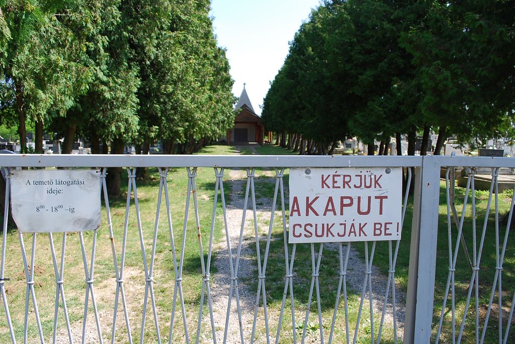
| Description | : | Beautiful Cemetery. Family members do an excellent job taking care of their ancestor's gravesite. There is a bunch of old headstones in the back behind the church building that were moved there because they fell over at their original gravesite. Many are unreadable and hard to take pictures of in their present location. They sit in the shade under a low hanging tree with cactus like plants growing around them. Also there are many that are stacked on top of each other. Those are to heavy to lift. I did take pictures of the... Read More |
frequently asked questions (FAQ):
-
Where is Kossuth Lajos Utcai Temetõ?
Kossuth Lajos Utcai Temetõ is located at Kaposfő, Kaposvári járás ,Somogy ,Hungary.
-
Kossuth Lajos Utcai Temetõ cemetery's updated grave count on graveviews.com?
0 memorials
-
Where are the coordinates of the Kossuth Lajos Utcai Temetõ?
Latitude: 46.3609570
Longitude: 17.6768570

Nearby Cemetories:
1. Nyugati Temeto
Kaposvár, Kaposvári járás, Hungary
Coordinate: 46.3666800, 17.7703400
2. Kaposvár Jewish cemetery
Kaposvár, Kaposvári járás, Hungary
Coordinate: 46.3589410, 17.8084440
3. Kaposszentjakabi temető
Kaposvár, Kaposvári járás, Hungary
Coordinate: 46.3517120, 17.8398760
4. Keleti Temeto
Osztopán, Kaposvári járás, Hungary
Coordinate: 46.5208600, 17.6823700
5. Visnyeszéplak
Visnye, Kaposvári járás, Hungary
Coordinate: 46.2003288, 17.6792336
6. Szenyér temetö
Szenyér, Marcali járás, Hungary
Coordinate: 46.4531450, 17.3695240
7. Gölle temető
Gölle, Kaposvári járás, Hungary
Coordinate: 46.4424240, 18.0041800
8. Öreglak temető
Öreglak, Fonyódi járás, Hungary
Coordinate: 46.6038250, 17.6190990
9. Nikla Cemetery
Nikla, Marcali járás, Hungary
Coordinate: 46.5860790, 17.5183440
10. Nagyatádi izraelita temetö
Nagyatád, Nagyatádi járás, Hungary
Coordinate: 46.2260690, 17.3596540
11. Marcali izraelita temető
Marcali, Marcali járás, Hungary
Coordinate: 46.5731720, 17.4028790
12. Sásd temetö
Sásd, Hegyháti járás, Hungary
Coordinate: 46.2521550, 18.1047610
13. Bükkösdi Temető
Bükkösd, Szentlőrinci járás, Hungary
Coordinate: 46.0994920, 17.9859150
14. Bükkösd-Megyefai Temető
Bükkösd, Szentlőrinci járás, Hungary
Coordinate: 46.1056201, 18.0031356
15. Somogytúr
Somogyvár, Fonyódi járás, Hungary
Coordinate: 46.7085000, 17.7653400
16. Cserdi temetö
Cserdi, Szentlőrinci járás, Hungary
Coordinate: 46.0788910, 17.9913450
17. Gyöngyösmellék jewish cemetery
Gyöngyösmellék, Szigetvári járás, Hungary
Coordinate: 45.9859610, 17.6924020
18. Jewish cemetery
Döbrököz, Dombóvári járás, Hungary
Coordinate: 46.4312560, 18.2297500
19. Alsómocsolád temető
Alsómocsolád, Hegyháti járás, Hungary
Coordinate: 46.3164020, 18.2520620
20. Csurgó izraelita temető
Csurgó, Csurgói járás, Hungary
Coordinate: 46.2471810, 17.1106840
21. Balatonboglár
Balatonboglár, Fonyódi járás, Hungary
Coordinate: 46.7712900, 17.6749600
22. Komló Temető (köztemető)
Komló, Komlói járás, Hungary
Coordinate: 46.2070971, 18.2548978
23. Bicsérdi temető
Bicsérd, Szentlőrinci járás, Hungary
Coordinate: 46.0281807, 18.0773683
24. Tab Jewish cemetery
Tabi járás, Hungary
Coordinate: 46.7382510, 18.0267060