
| Memorials | : | 3 |
| Location | : | Camperdown, Corangamite Shire, Australia |
| Coordinate | : | -38.0469990, 143.1334410 |
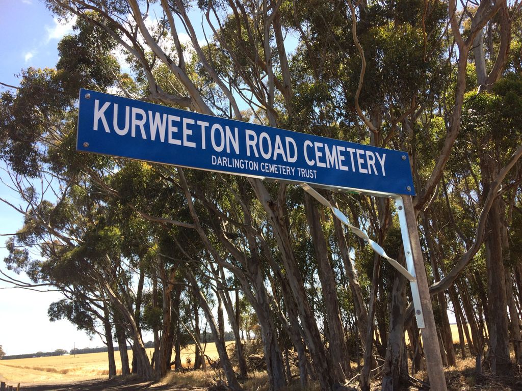
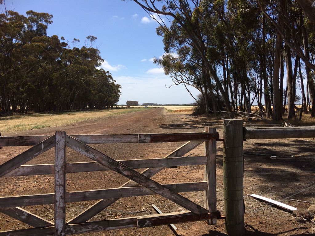
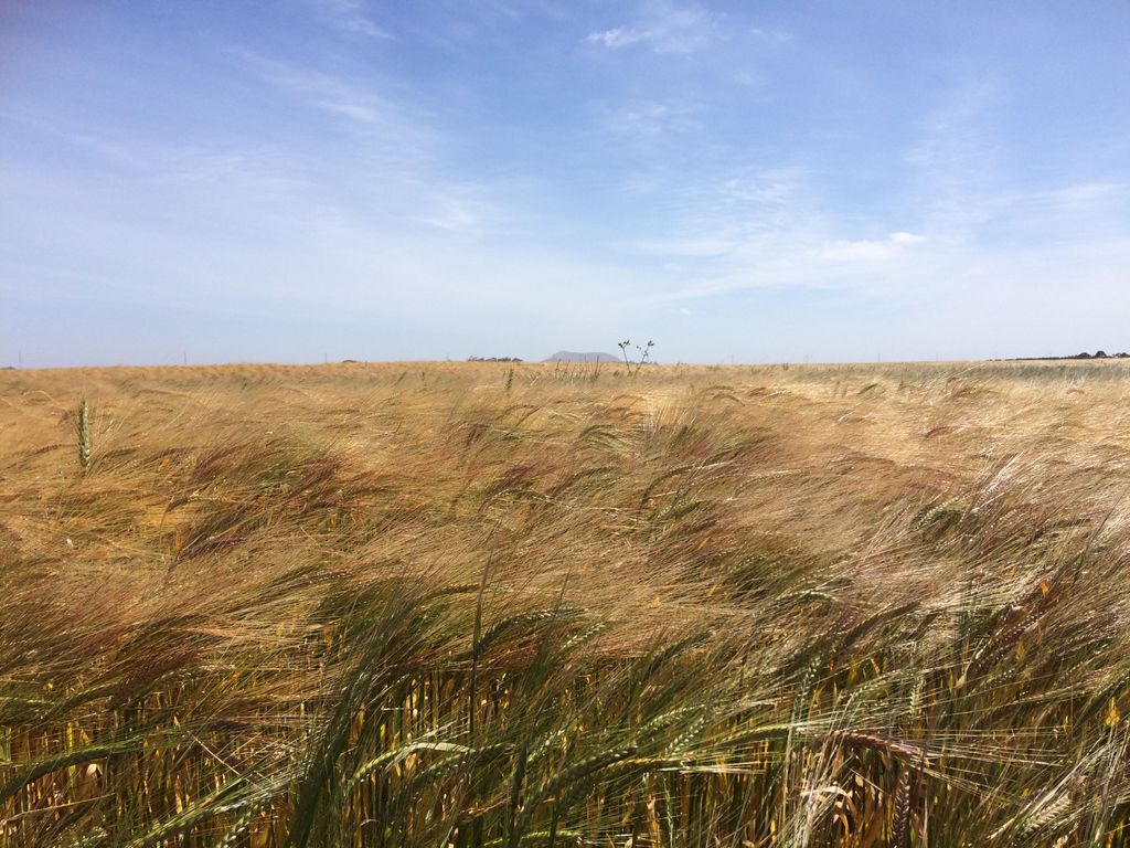
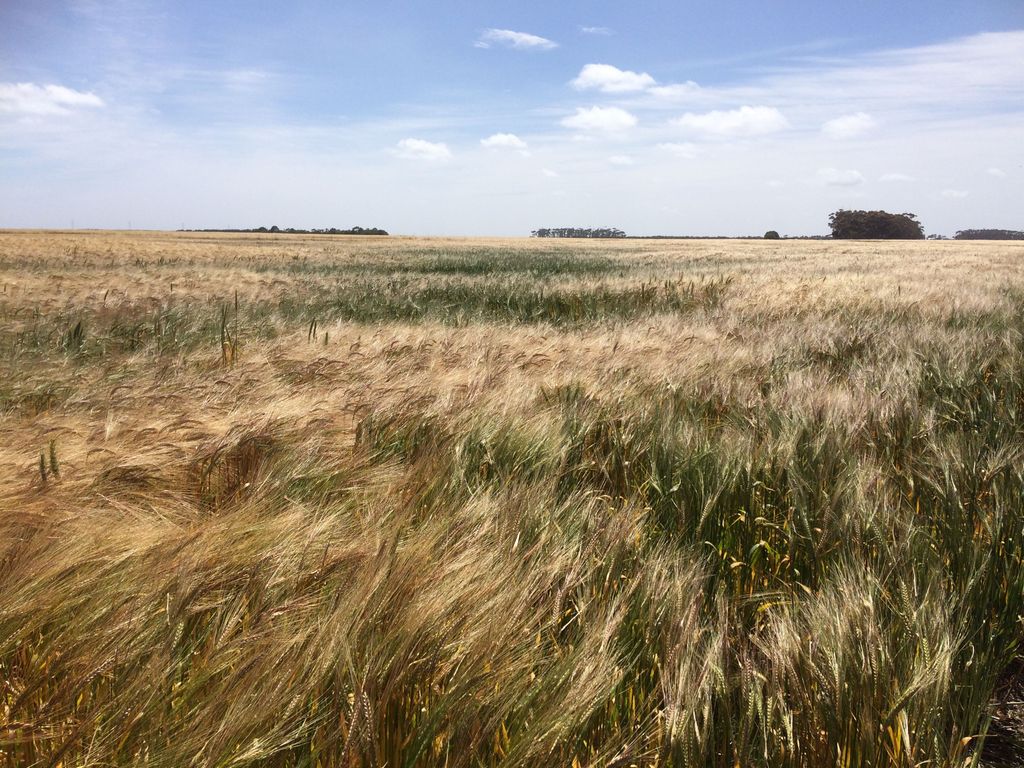
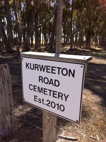
| Description | : | Kurweeton Road Cemetery is located in the Corangamite Shire southwest of Mt. Elephant, an extinct volcano that is a prominent geographic feature of the western Victorian plains. The cemetery is a peaceful, pastoral setting that is purposefully left in a natural state to minimise the impact of burial activity on the environment. The name of the deceased person will be recorded in perpetuity on a memorial wall, and the next of kin can receive an exact location of the individual grave site. In line with Upright Burials' values, for every person buried a tree is planted at Mt. Elephant. This... Read More |
frequently asked questions (FAQ):
-
Where is Kurweeton Road Cemetery?
Kurweeton Road Cemetery is located at 776 Kurweeton Rd Camperdown, Corangamite Shire ,Victoria , 3325Australia.
-
Kurweeton Road Cemetery cemetery's updated grave count on graveviews.com?
3 memorials
-
Where are the coordinates of the Kurweeton Road Cemetery?
Latitude: -38.0469990
Longitude: 143.1334410
Nearby Cemetories:
1. Darlington Cemetery
Darlington, Corangamite Shire, Australia
Coordinate: -37.9989960, 143.0402310
2. Kilnoorat Pioneer Cemetery
Terang, Corangamite Shire, Australia
Coordinate: -38.0880930, 143.0049490
3. Derrinallum Cemetery
Derrinallum, Corangamite Shire, Australia
Coordinate: -37.9422222, 143.2350000
4. Camperdown Cemetery
Camperdown, Corangamite Shire, Australia
Coordinate: -38.2185530, 143.1173310
5. Lismore Cemetery
Lismore, Corangamite Shire, Australia
Coordinate: -37.9440560, 143.3461800
6. Mortlake Cemetery
Mortlake, Moyne Shire, Australia
Coordinate: -38.0577700, 142.8377990
7. Cobden Cemetery
Cobden, Corangamite Shire, Australia
Coordinate: -38.2984740, 143.0867710
8. Terang Cemetery
Terang, Corangamite Shire, Australia
Coordinate: -38.2531600, 142.9101700
9. Woorndoo Cemetery
Woorndoo, Moyne Shire, Australia
Coordinate: -37.8765430, 142.7896840
10. Hexham Cemetery
Hexham, Moyne Shire, Australia
Coordinate: -38.0001910, 142.7100610
11. Ellerslie Cemetery
Ellerslie, Moyne Shire, Australia
Coordinate: -38.1579950, 142.6886300
12. Streatham Cemetery
Streatham, Ararat Rural City, Australia
Coordinate: -37.6714030, 143.0774610
13. Ballangeich Cemetery
Ballangeich, Moyne Shire, Australia
Coordinate: -38.1854070, 142.6835560
14. Cressy Cemetery
Cressy, Colac Otway Shire, Australia
Coordinate: -38.0337900, 143.6234600
15. Skipton Cemetery
Skipton, Corangamite Shire, Australia
Coordinate: -37.6912618, 143.3524590
16. Beeac Cemetery
Beeac, Colac Otway Shire, Australia
Coordinate: -38.1672440, 143.6188470
17. Lake Bolac Civil Cemetery
Lake Bolac, Ararat Rural City, Australia
Coordinate: -37.7034290, 142.8597720
18. Scotts Creek Cemetery
Scotts Creek, Adelaide Hills Council, Australia
Coordinate: -38.4542120, 143.0458470
19. Garvoc Cemetery
Panmure, Moyne Shire, Australia
Coordinate: -38.3376520, 142.7317350
20. Panmure Cemetery
Panmure, Moyne Shire, Australia
Coordinate: -38.3380740, 142.7309330
21. Cape Clear Cemetery
Cape Clear, Golden Plains Shire, Australia
Coordinate: -37.7909960, 143.5968360
22. Colac Cemetery
Colac, Colac Otway Shire, Australia
Coordinate: -38.3512993, 143.5851898
23. Rokewood Cemetery
Rokewood, Golden Plains Shire, Australia
Coordinate: -37.8897000, 143.7125000
24. Wickliffe Cemetery
Wickliffe, Ararat Rural City, Australia
Coordinate: -37.6819950, 142.7202934