| Memorials | : | 6 |
| Location | : | Aaron, Clinton County, USA |
| Coordinate | : | 36.7950350, -85.1803470 |
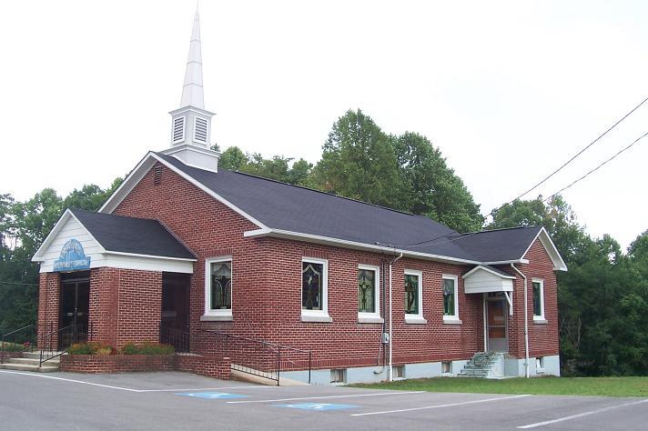
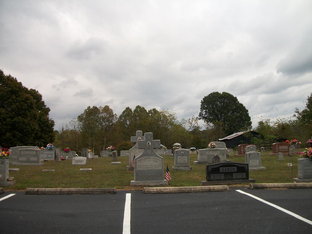
| Description | : | The church and cemetery are about 8 miles north of Albany and 20 miles south of Jamestown on US Highway 127. Both are on the east side of the road. |
frequently asked questions (FAQ):
-
Where is Lands Chapel Church Cemetery?
Lands Chapel Church Cemetery is located at N Highway 127 Aaron, Clinton County ,Kentucky ,USA.
-
Lands Chapel Church Cemetery cemetery's updated grave count on graveviews.com?
6 memorials
-
Where are the coordinates of the Lands Chapel Church Cemetery?
Latitude: 36.7950350
Longitude: -85.1803470
Nearby Cemetories:
1. Isaac Agee Cemetery
Albany, Clinton County, USA
Coordinate: 36.8022340, -85.1857120
2. Cave Spring Church Cemetery
Seventy Six, Clinton County, USA
Coordinate: 36.7865890, -85.1767680
3. Aarons Chapel Cemetery
Clinton County, USA
Coordinate: 36.7904770, -85.1524580
4. Thurman Cemetery
Clinton County, USA
Coordinate: 36.8076363, -85.2078552
5. Dr. Smith Cemetery
Clinton County, USA
Coordinate: 36.7629990, -85.1628050
6. Ryan Cemetery
Clinton County, USA
Coordinate: 36.7861900, -85.1358020
7. Brents Family Cemetery
Clinton County, USA
Coordinate: 36.7622840, -85.1576950
8. Freedom Church Cemetery
Albany, Clinton County, USA
Coordinate: 36.7691670, -85.1388890
9. Fairland Cemetery
Clinton County, USA
Coordinate: 36.7961006, -85.1241989
10. Lewis Cemetery
Cumberland County, USA
Coordinate: 36.7893982, -85.2375031
11. Hilltop Cemetery
Clinton County, USA
Coordinate: 36.7757988, -85.1267014
12. Joe Agee Cemetery
Albany, Clinton County, USA
Coordinate: 36.8409300, -85.1662450
13. Hickory Ridge Cemetery
Clinton County, USA
Coordinate: 36.8125000, -85.1235962
14. Piercey Cemetery
Albany, Clinton County, USA
Coordinate: 36.7627983, -85.1335983
15. McWhorter Cemetery
Clinton County, USA
Coordinate: 36.8157997, -85.1231003
16. Booher Cemetery
Cumberland County, USA
Coordinate: 36.7798480, -85.2403790
17. Ben Story Cemetery
Clinton County, USA
Coordinate: 36.7579080, -85.1374280
18. Booher Cemetery
Burkesville, Cumberland County, USA
Coordinate: 36.8096550, -85.2412870
19. Myers Ridge Cemetery
Burkesville, Cumberland County, USA
Coordinate: 36.8049720, -85.2439280
20. Thomas Lee Pruitt Cemetery
Burkesville, Cumberland County, USA
Coordinate: 36.8090150, -85.2444060
21. Highway Cemetery
Highway, Clinton County, USA
Coordinate: 36.7411490, -85.2075190
22. Boils Cemetery
Albany, Clinton County, USA
Coordinate: 36.7480010, -85.2264190
23. Alford Burchett Cemetery
Albany, Clinton County, USA
Coordinate: 36.7337000, -85.1730500
24. Brown Cemetery
Clinton County, USA
Coordinate: 36.7336006, -85.1722031


