
| Memorials | : | 19 |
| Location | : | Vliettown, Somerset County, USA |
| Coordinate | : | 40.6780891, -74.7155838 |
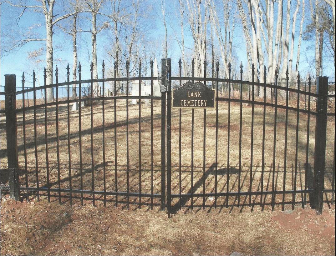
| Description | : | Located between Vliettown and Lamington on Lane Cemetery Road (off of Black River Road). This road is unmarked and now has two residences on it. This cemetery is marked on the topographic map for the Gladstone 7.5 quadrangle map. |
frequently asked questions (FAQ):
-
Where is Lane Cemetery?
Lane Cemetery is located at Vliettown, Somerset County ,New Jersey ,USA.
-
Lane Cemetery cemetery's updated grave count on graveviews.com?
19 memorials
-
Where are the coordinates of the Lane Cemetery?
Latitude: 40.6780891
Longitude: -74.7155838
Nearby Cemetories:
1. Lamington Presbyterian Church Cemetery
Lamington, Somerset County, USA
Coordinate: 40.6607666, -74.7188034
2. Lamington Black Cemetery
Lamington, Somerset County, USA
Coordinate: 40.6577072, -74.7090302
3. New Germantown Cemetery
Oldwick, Hunterdon County, USA
Coordinate: 40.6690254, -74.7456512
4. Oldwick Methodist Cemetery
Oldwick, Hunterdon County, USA
Coordinate: 40.6719070, -74.7484280
5. Zion Lutheran Church Cemetery
Oldwick, Hunterdon County, USA
Coordinate: 40.6724510, -74.7490768
6. Farley Burial Site
Califon, Hunterdon County, USA
Coordinate: 40.6839409, -74.7528610
7. Pottersville Reform Cemetery
Pottersville, Somerset County, USA
Coordinate: 40.7137489, -74.7194443
8. Potterstown Cemetery
Hunterdon County, USA
Coordinate: 40.6602770, -74.7766660
9. Bedminster Reformed Church Cemetery
Bedminster, Somerset County, USA
Coordinate: 40.6705399, -74.6451797
10. Jerolaman Cemetery
Peapack, Somerset County, USA
Coordinate: 40.7105484, -74.6567688
11. Peapack Reformed Church Cemetery
Gladstone, Somerset County, USA
Coordinate: 40.7199000, -74.6639200
12. Peapack Union Cemetery
Gladstone, Somerset County, USA
Coordinate: 40.7278938, -74.6658554
13. Pluckemin Presbyterian Church Burial Ground
Pluckemin, Somerset County, USA
Coordinate: 40.6480560, -74.6419449
14. United Methodist Cemetery
Whitehouse, Hunterdon County, USA
Coordinate: 40.6182800, -74.7446900
15. Rural Hill Cemetery
Whitehouse, Hunterdon County, USA
Coordinate: 40.6223602, -74.7586823
16. Fairmount Methodist Churchyard
Fairmount, Hunterdon County, USA
Coordinate: 40.7259712, -74.7759705
17. Fairmount Rural Cemetery
Califon, Hunterdon County, USA
Coordinate: 40.7257690, -74.7772070
18. Memorial Park Cemetery
Whitehouse, Hunterdon County, USA
Coordinate: 40.6222000, -74.7660980
19. Pluckemin Presbyterian Church New Cemetery
Pluckemin, Somerset County, USA
Coordinate: 40.6466675, -74.6352768
20. Fairmount Cemetery
Fairmount, Hunterdon County, USA
Coordinate: 40.7338104, -74.7751770
21. Patrey-Runyan Cemetery
Chester, Morris County, USA
Coordinate: 40.7475815, -74.6901627
22. Fairmount First Presbyterian Churchyard
Fairmount, Hunterdon County, USA
Coordinate: 40.7359581, -74.7747498
23. Vanderveer Cemetery #01
North Branch, Somerset County, USA
Coordinate: 40.6143837, -74.6651154
24. Haypress Cemetery
Whitehouse Station, Hunterdon County, USA
Coordinate: 40.6158330, -74.7741660