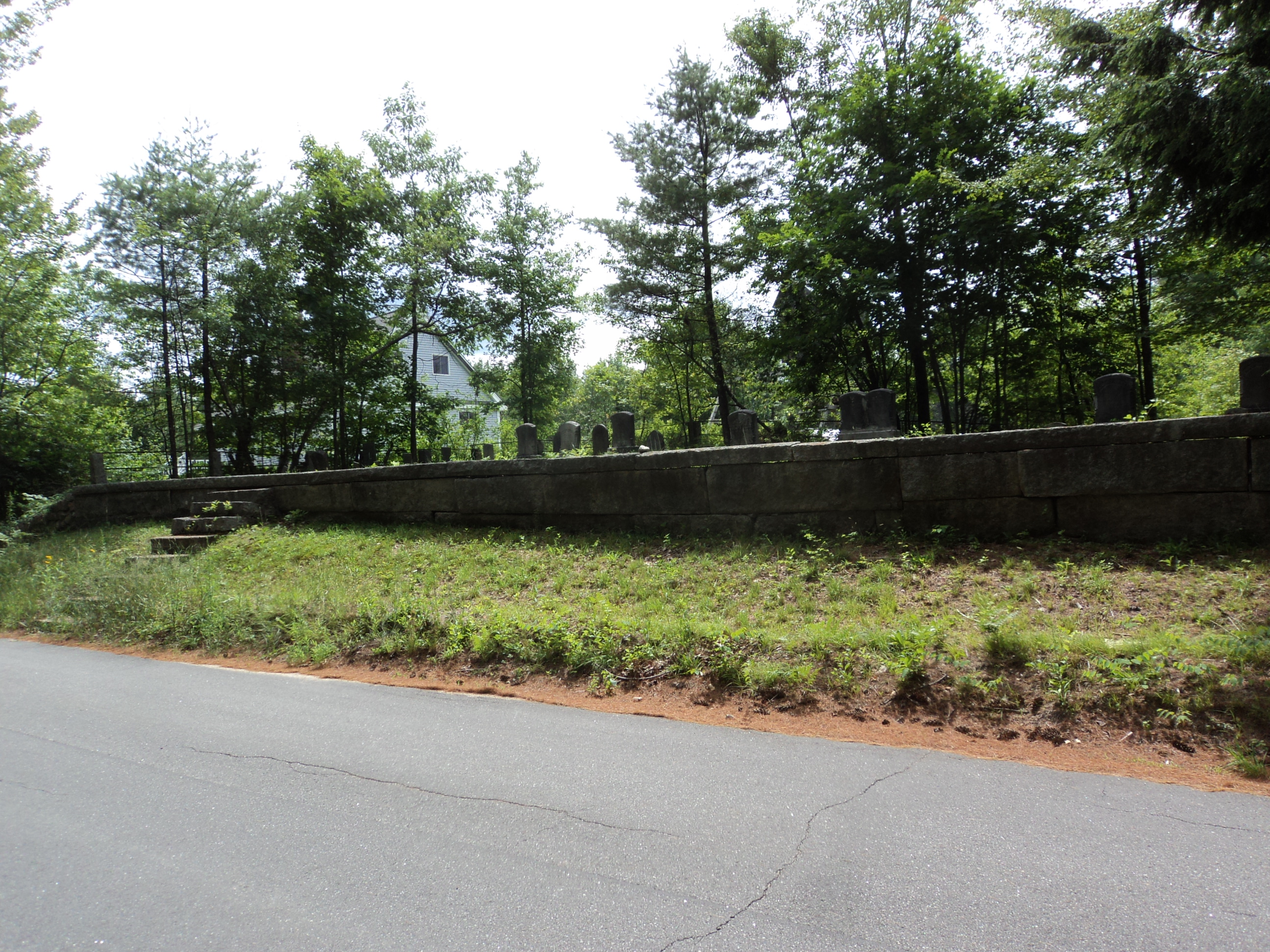
| Memorials | : | 0 |
| Location | : | Wakefield, Carroll County, USA |
| Coordinate | : | 43.5967500, -71.0682100 |
| Description | : | NHOGA: B19-028 Lang, Garney Road, USGS Sanbornville Quadrangle, E33303, N482895, Zone 19 (43° 35' 48"N, 71° 4' 7"W), Source: Boll Twombly 1990 |
frequently asked questions (FAQ):
-
Where is Lang Family Cemetery?
Lang Family Cemetery is located at Garney Road Wakefield, Carroll County ,New Hampshire ,USA.
-
Lang Family Cemetery cemetery's updated grave count on graveviews.com?
0 memorials
-
Where are the coordinates of the Lang Family Cemetery?
Latitude: 43.5967500
Longitude: -71.0682100
Nearby Cemetories:
1. Cummings Cemetery
Brookfield, Carroll County, USA
Coordinate: 43.5950010, -71.0672950
2. Neal Family Cemetery
Brookfield, Carroll County, USA
Coordinate: 43.5947520, -71.0671230
3. Cumming Cemetery
Brookfield, Carroll County, USA
Coordinate: 43.5933330, -71.0655550
4. Wentworth
Brookfield, Carroll County, USA
Coordinate: 43.6044000, -71.0628700
5. Palmer Cemetery
Brookfield, Carroll County, USA
Coordinate: 43.6050800, -71.0638200
6. Lang Family Cemetery
Brookfield, Carroll County, USA
Coordinate: 43.6025800, -71.0585700
7. Weeks Cemetery
Brookfield, Carroll County, USA
Coordinate: 43.6020000, -71.0573000
8. Sceggell Cemetery
Brookfield, Carroll County, USA
Coordinate: 43.6057000, -71.0731000
9. Allen Cemetery
Brookfield, Carroll County, USA
Coordinate: 43.5891000, -71.0598000
10. Stanton Cemetery
Brookfield, Carroll County, USA
Coordinate: 43.6083400, -71.0741600
11. Clark Family Cemetery
Brookfield, Carroll County, USA
Coordinate: 43.5960000, -71.0461000
12. Blake Cemetery
Brookfield, Carroll County, USA
Coordinate: 43.6130870, -71.0692260
13. Baker Cemetery
Brookfield, Carroll County, USA
Coordinate: 43.5856900, -71.0867600
14. Goodhue-Johnson Cemetery
Brookfield, Carroll County, USA
Coordinate: 43.5871000, -71.0899000
15. Hackett Cemetery
Brookfield, Carroll County, USA
Coordinate: 43.5870900, -71.0899100
16. Lyford-Clark Road Cemetery
Brookfield, Carroll County, USA
Coordinate: 43.5780602, -71.0659256
17. Garland Cemetery
Brookfield, Carroll County, USA
Coordinate: 43.5835000, -71.0869000
18. Plummer Cemetery
Brookfield, Carroll County, USA
Coordinate: 43.6132200, -71.0830000
19. Tibbetts Cemetery
Wolfeboro, Carroll County, USA
Coordinate: 43.6133860, -71.0840750
20. Tibbetts Cemetery
Brookfield, Carroll County, USA
Coordinate: 43.6168400, -71.0720900
21. Brookfield Town Cemetery
Brookfield, Carroll County, USA
Coordinate: 43.5768000, -71.0758000
22. Pike-Perkins Cemetery
Brookfield, Carroll County, USA
Coordinate: 43.5801000, -71.0507000
23. Wiggin Cemetery
Brookfield, Carroll County, USA
Coordinate: 43.5771500, -71.0858400
24. Cotton-Canney Cemetery
Wolfeboro, Carroll County, USA
Coordinate: 43.6194410, -71.0793920

