
| Memorials | : | 0 |
| Location | : | Gleason, Tioga County, USA |
| Coordinate | : | 41.6786930, -76.9075670 |
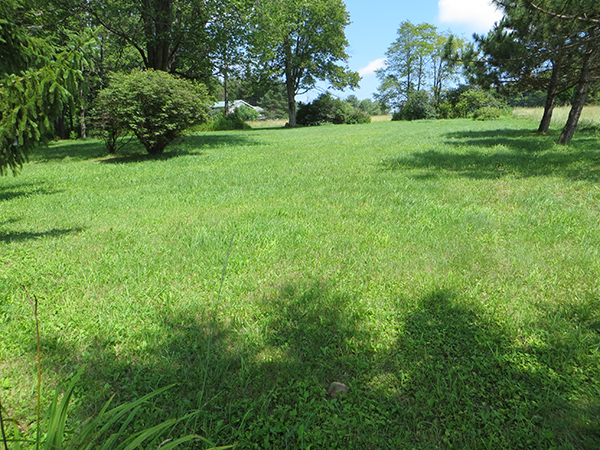
| Description | : | Leonard Cemetery (aka Red School Cemetery) is a rural family cemetery abandoned in 1902. It is located east of the intersection of Lower Mountain Road and Church Road (Gov Road on some maps) and north of nearest Tioga County PA named place called Gleason. The cemetery was behind the former school house of Ward Township School District No. 2 (Segur), Tioga County PA. Now it is behind a private house and it is not easy to spot graves from the road. Burials range from 1864 to 1902. The graves are separated widely in the small... Read More |
frequently asked questions (FAQ):
-
Where is Leonard Cemetery?
Leonard Cemetery is located at Lower Mountain Road and Church Road (Ward Township) Gleason, Tioga County ,Pennsylvania ,USA.
-
Leonard Cemetery cemetery's updated grave count on graveviews.com?
0 memorials
-
Where are the coordinates of the Leonard Cemetery?
Latitude: 41.6786930
Longitude: -76.9075670
Nearby Cemetories:
1. Furman Family Cemetery
Gleason, Tioga County, USA
Coordinate: 41.6872700, -76.9044340
2. Gregory Family Burial Ground
Gleason, Tioga County, USA
Coordinate: 41.6714530, -76.9214590
3. North Union Cemetery
Tioga County, USA
Coordinate: 41.6417007, -76.8989029
4. McIntosh Cemetery
Tioga County, USA
Coordinate: 41.7234700, -76.8973300
5. Saint Michaels Cemetery
Canton, Bradford County, USA
Coordinate: 41.6521988, -76.8569031
6. Park Cemetery
Canton, Bradford County, USA
Coordinate: 41.6589012, -76.8486023
7. Spaulding Cemetery
Canton, Bradford County, USA
Coordinate: 41.6361800, -76.8716330
8. Main Street Cemetery
Canton, Bradford County, USA
Coordinate: 41.6558990, -76.8472977
9. Fallbrook Cemetery
Tioga County, USA
Coordinate: 41.6872900, -76.9748000
10. Grover Cemetery
Grover, Bradford County, USA
Coordinate: 41.6302986, -76.8703003
11. A Griffin Cemetery
Canton, Bradford County, USA
Coordinate: 41.6623000, -76.8353000
12. Pierce Cemetery
Canton, Bradford County, USA
Coordinate: 41.7280400, -76.8675400
13. Spencertown Cemetery
Spencertown, Tioga County, USA
Coordinate: 41.6206245, -76.8788147
14. Alba Cemetery
Alba, Bradford County, USA
Coordinate: 41.7061996, -76.8294983
15. East Canton Cemetery
Canton, Bradford County, USA
Coordinate: 41.6608009, -76.8040009
16. Morris Run Cemetery
Morris Run, Tioga County, USA
Coordinate: 41.6830000, -77.0141000
17. Saint Josephs Cemetery
Morris Run, Tioga County, USA
Coordinate: 41.6750000, -77.0144100
18. Church of Christ Cemetery
Ogdensburg, Tioga County, USA
Coordinate: 41.6144500, -76.9730000
19. Covert Cemetery
Bradford County, USA
Coordinate: 41.7515984, -76.8595963
20. Rutty Cemetery
Canton, Bradford County, USA
Coordinate: 41.5996000, -76.8741000
21. Beech Flats Cemetery
Beech Flats, Bradford County, USA
Coordinate: 41.6514015, -76.7981033
22. Burnham Cemetery
Bradford County, USA
Coordinate: 41.7519370, -76.8318770
23. State Road Cemetery
Mainesburg, Tioga County, USA
Coordinate: 41.7620790, -76.9643990
24. Windfall Cemetery
Granville Summit, Bradford County, USA
Coordinate: 41.7048988, -76.7726974