
| Memorials | : | 0 |
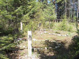
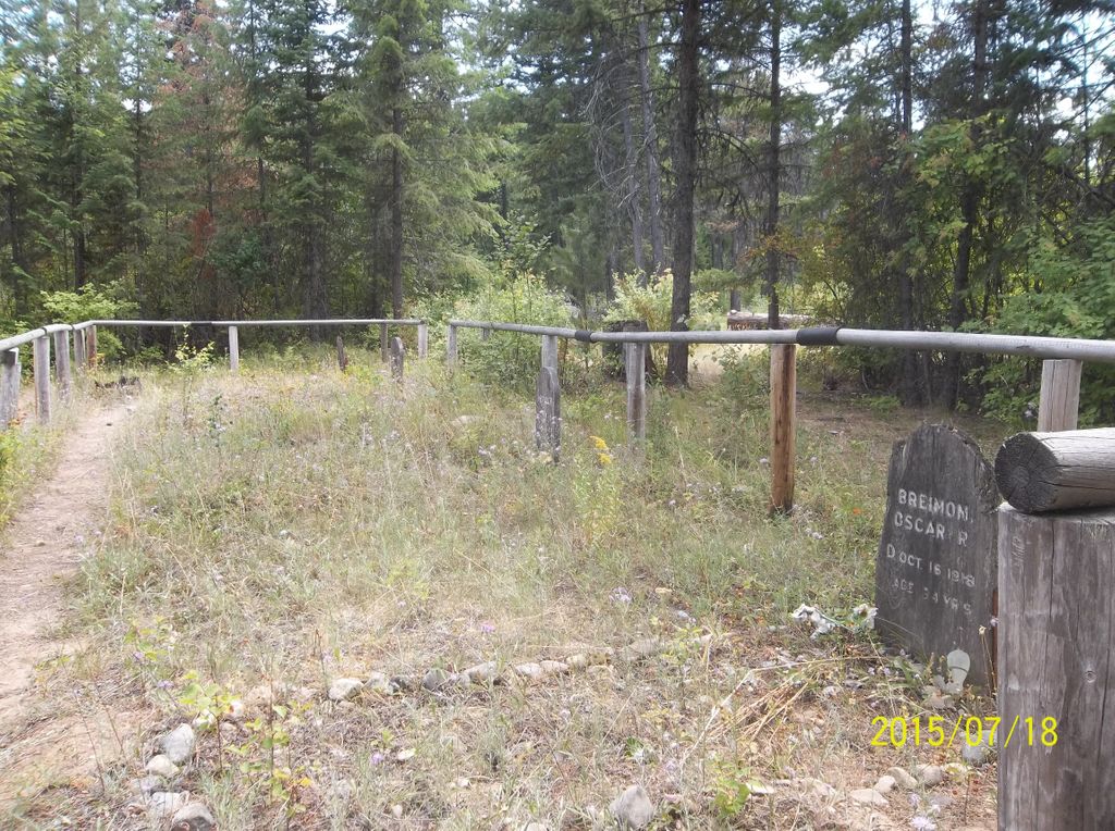
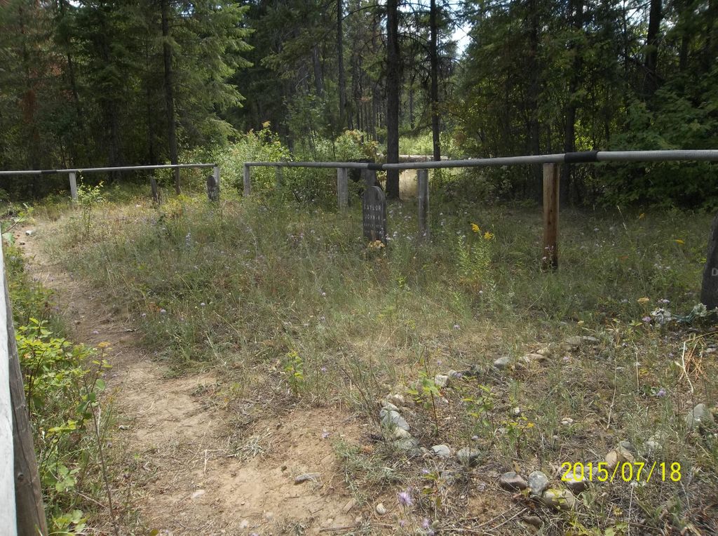
| Location | : | Leonia, Boundary County, USA |
| Coordinate | : | 48.6161720, -116.0497860 |
| Description | : | Take Hwy 2 west out of Troy to the top of the hill and turn left onto "Southside Road" (#4402) and always stay/bear to the right. The turn off to the cemetery is Approx 16 miles. At 1 1/2 miles road forks, stay right.... at 2.9 cross bridge at Ruby Creek, 7.5 miles another small bridge, and at 11 miles see Idaho Border marker on the right side, in 4-5 miles you will see the turn off on the right, then continue for 2 miles and you will see Boulder City on the left, then continue for two... Read More |
frequently asked questions (FAQ):
-
Where is Leonia Cemetery?
Leonia Cemetery is located at Leonia, Boundary County ,Idaho ,USA.
-
Leonia Cemetery cemetery's updated grave count on graveviews.com?
0 memorials
-
Where are the coordinates of the Leonia Cemetery?
Latitude: 48.6161720
Longitude: -116.0497860
Nearby Cemetories:
1. Boulder Creek Cemetery
Boundary County, USA
Coordinate: 48.6194000, -116.0571976
2. Winn Family Cemetery
Lincoln County, USA
Coordinate: 48.5488590, -115.9644710
3. Parker Family Cemetery
Boundary County, USA
Coordinate: 48.6665200, -116.2619200
4. Sylvanite Cemetery
Lincoln County, USA
Coordinate: 48.7210000, -115.8745000
5. Troy Cemetery
Troy, Lincoln County, USA
Coordinate: 48.4752330, -115.8992710
6. Paradise Valley Cemetery
Bonners Ferry, Boundary County, USA
Coordinate: 48.6453018, -116.3080978
7. Grandview Cemetery
Bonners Ferry, Boundary County, USA
Coordinate: 48.6851300, -116.2932700
8. Mountain View Mennonite Cemetery
Bonners Ferry, Boundary County, USA
Coordinate: 48.7389000, -116.2968000
9. Holy Myrrhbearers Orthodox Church Parish Cemetery
Bonners Ferry, Boundary County, USA
Coordinate: 48.6190260, -116.3598830
10. Woodland Mennonite Church Cemetery
Bonners Ferry, Boundary County, USA
Coordinate: 48.7010470, -116.3335570
11. Moravia Cemetery
Moravia, Boundary County, USA
Coordinate: 48.6591988, -116.3741989
12. Saint Michaels Mission Cemetery
Boundary County, USA
Coordinate: 48.7080700, -116.3684000
13. Milnor Lake Cemetery
Troy, Lincoln County, USA
Coordinate: 48.4181150, -115.8259500
14. Larchwood Cemetery
Lincoln County, USA
Coordinate: 48.4178009, -115.8257980
15. McArthur Cemetery
Boundary County, USA
Coordinate: 48.5246000, -116.4350000
16. Gold Creek Cemetery
Bonner County, USA
Coordinate: 48.4000015, -116.4160995
17. Pack River Cemetery
Bonner County, USA
Coordinate: 48.3675620, -116.4404120
18. Copeland Cemetery
Copeland, Boundary County, USA
Coordinate: 48.9202995, -116.3783035
19. Libby Cemetery
Libby, Lincoln County, USA
Coordinate: 48.3893540, -115.5646380
20. Colburn Cemetery
Colburn, Bonner County, USA
Coordinate: 48.3918000, -116.5384900
21. Bull Lake Guest Ranch Cemetery
Troy, Lincoln County, USA
Coordinate: 48.2424940, -115.8275090
22. Old Hope Cemetery
Hope, Bonner County, USA
Coordinate: 48.2530500, -116.3157300
23. Hope Cemetery
East Hope, Bonner County, USA
Coordinate: 48.2449989, -116.2966995
24. Cloudledge Cemetery
East Hope, Bonner County, USA
Coordinate: 48.2345670, -116.2772340