
| Memorials | : | 0 |
| Location | : | Jefferson, Carroll County, USA |
| Coordinate | : | 33.6353960, -89.8923060 |
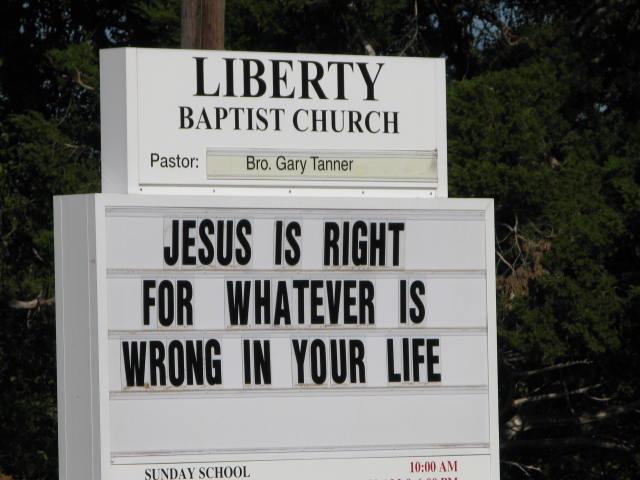
| Description | : | Directions: Highway #51 South of Grenada, MS, turn right onto Carrollton Rd travel approximately 5 miles, turn right at the Liberty Baptist Church sign, travel 5 miles - church & cemetery is on the right of Carroll County Rd #106. |
frequently asked questions (FAQ):
-
Where is Liberty Baptist Church Cemetery?
Liberty Baptist Church Cemetery is located at Jefferson, Carroll County ,Mississippi ,USA.
-
Liberty Baptist Church Cemetery cemetery's updated grave count on graveviews.com?
0 memorials
-
Where are the coordinates of the Liberty Baptist Church Cemetery?
Latitude: 33.6353960
Longitude: -89.8923060
Nearby Cemetories:
1. Mount Vernon Cemetery
Carroll County, USA
Coordinate: 33.6431800, -89.8861600
2. Beck Cemetery
Carroll County, USA
Coordinate: 33.6478004, -89.8899994
3. Old Liberty Cemetery
Carroll County, USA
Coordinate: 33.6302500, -89.8683800
4. Browns Chapel Cemetery
Carrollton, Carroll County, USA
Coordinate: 33.6134000, -89.8988500
5. Browns Cemetery
Carroll County, USA
Coordinate: 33.6122017, -89.8918991
6. Grays Cemetery
Carroll County, USA
Coordinate: 33.6417300, -89.9210500
7. Swims Cemetery
Carroll County, USA
Coordinate: 33.6112840, -89.8733000
8. Beck Cemetery
Carroll County, USA
Coordinate: 33.6594009, -89.9158020
9. Bledsoe Cemetery
Carroll County, USA
Coordinate: 33.6617012, -89.9167023
10. Mount Elam Cemetery
Carroll County, USA
Coordinate: 33.6050900, -89.8756000
11. Purnell Cemetery
Carroll County, USA
Coordinate: 33.6411700, -89.8528500
12. Salem Cemetery
Jefferson, Carroll County, USA
Coordinate: 33.6303600, -89.8507000
13. Watson Cemetery
Carrollton, Carroll County, USA
Coordinate: 33.5981500, -89.8998700
14. Ebenezer Cemetery
Jefferson, Carroll County, USA
Coordinate: 33.6760300, -89.9138500
15. Childers Cemetery
Jefferson, Carroll County, USA
Coordinate: 33.5954200, -89.9279300
16. Emmons Cemetery
Carroll County, USA
Coordinate: 33.6470100, -89.9528500
17. Pleasant Grove M.B. Church Cemetery
Carroll County, USA
Coordinate: 33.5840100, -89.9079600
18. Fielder Cemetery
Carroll County, USA
Coordinate: 33.6649600, -89.9456400
19. Payne Chapel Cemetery
Carroll County, USA
Coordinate: 33.6492004, -89.8293991
20. King Family Cemetery
Carroll County, USA
Coordinate: 33.5823900, -89.9080600
21. Mount Carmel Cemetery
Grenada County, USA
Coordinate: 33.6903000, -89.8780975
22. Bethel Methodist Church Cemetery
Jefferson, Carroll County, USA
Coordinate: 33.6435089, -89.8254929
23. Hickory Grove Cemetery
Carrollton, Carroll County, USA
Coordinate: 33.5827000, -89.8648100
24. Monday Cemetery
Carroll County, USA
Coordinate: 33.5892800, -89.9377600