
| Memorials | : | 0 |
| Location | : | Cecilia, Hardin County, USA |
| Coordinate | : | 37.7070045, -86.1913605 |
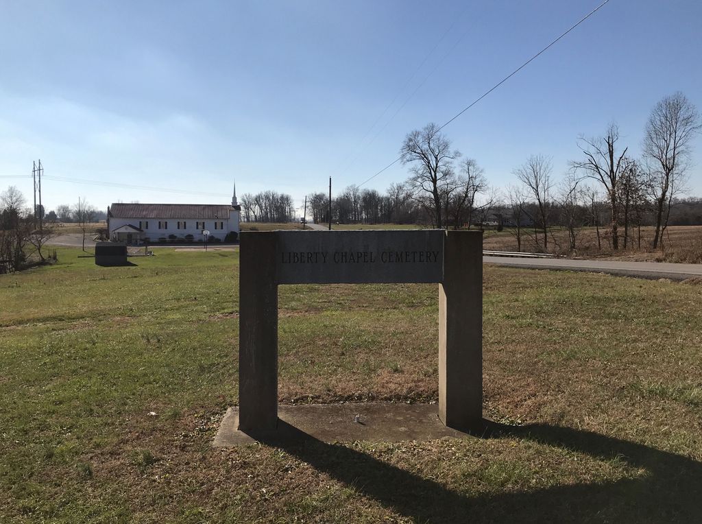
| Description | : | A new Cemetery next to Liberty Chapel General Baptist Church on Hwy 86 in Hardin County Kentucky. Near Breckinridge County line and communities of Arch Hill, Dyer and Constantine Kentucky |
frequently asked questions (FAQ):
-
Where is Liberty Chapel Church Cemetery?
Liberty Chapel Church Cemetery is located at 15204 Hardinsburg Rd Cecilia, Hardin County ,Kentucky , 42724USA.
-
Liberty Chapel Church Cemetery cemetery's updated grave count on graveviews.com?
0 memorials
-
Where are the coordinates of the Liberty Chapel Church Cemetery?
Latitude: 37.7070045
Longitude: -86.1913605
Nearby Cemetories:
1. Gray Cemetery #2
Breckinridge County, USA
Coordinate: 37.7125015, -86.2192001
2. Horn Cemetery
Hardin County, USA
Coordinate: 37.6800003, -86.1905975
3. Old Union Cemetery
Vertrees, Hardin County, USA
Coordinate: 37.7061005, -86.1472015
4. Kasey Cemetery
Elizabethtown, Hardin County, USA
Coordinate: 37.7472000, -86.1841965
5. Holbert Cemetery
Hardin County, USA
Coordinate: 37.6692009, -86.1635971
6. Constantine United Methodist Church Cemetery
Constantine, Breckinridge County, USA
Coordinate: 37.6785240, -86.2333830
7. Grandview Baptist Church Cemetery
Elizabethtown, Hardin County, USA
Coordinate: 37.7431410, -86.1590410
8. Lyons Cemetery
Custer, Breckinridge County, USA
Coordinate: 37.7346120, -86.2433620
9. Constantine Baptist Cemetery
Constantine, Breckinridge County, USA
Coordinate: 37.6722380, -86.2428720
10. Pole Bridge Baptist Church Cemetery
Hardin County, USA
Coordinate: 37.6487030, -86.1820580
11. Custer Cemetery
Custer, Breckinridge County, USA
Coordinate: 37.7330840, -86.2622360
12. Pile Cemetery #4
Fairfield, Breckinridge County, USA
Coordinate: 37.6971330, -86.2687040
13. Givan Family Graveyard
Hardin County, USA
Coordinate: 37.6422690, -86.1772520
14. High Plains United Methodist Church Cemetery
High Plains, Breckinridge County, USA
Coordinate: 37.7751550, -86.2072690
15. Bruner Cemetery #02
Custer, Breckinridge County, USA
Coordinate: 37.7123210, -86.2810540
16. Bennett Cemetery
Custer, Breckinridge County, USA
Coordinate: 37.7638200, -86.2459700
17. Aubrey Cemetery
Eastview, Hardin County, USA
Coordinate: 37.6413780, -86.2273090
18. Cook Cemetery
Constantine, Breckinridge County, USA
Coordinate: 37.6789017, -86.2752991
19. Goodhope Cemetery
Custer, Breckinridge County, USA
Coordinate: 37.7422600, -86.2761100
20. Needham Family Cemetery
Hardin County, USA
Coordinate: 37.6338900, -86.1556000
21. Crume Cemetery
Fairfield, Breckinridge County, USA
Coordinate: 37.6742237, -86.2887372
22. Miller Cemetery
Hardin County, USA
Coordinate: 37.7500000, -86.0999985
23. Board Cemetery
Breckinridge County, USA
Coordinate: 37.7538986, -86.2797012
24. Mount Olive Cemetery
Eastview, Hardin County, USA
Coordinate: 37.6308800, -86.2430300