
| Memorials | : | 351 |
| Location | : | Lindale, Clermont County, USA |
| Phone | : | 513-797-4189 |
| Website | : | lindalebaptist.com |
| Coordinate | : | 38.9951900, -84.2094900 |
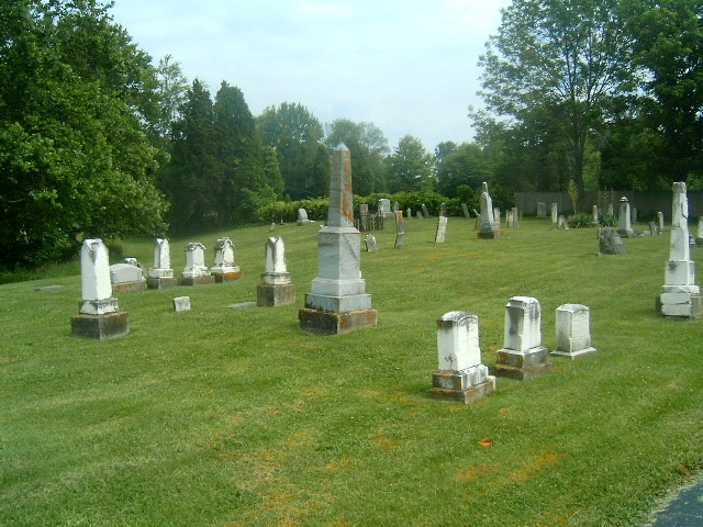
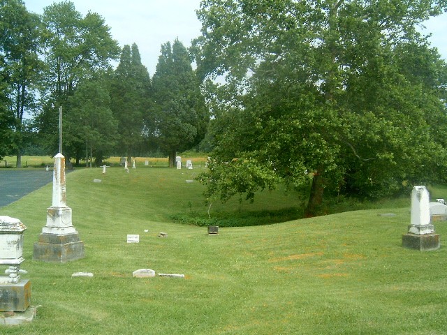
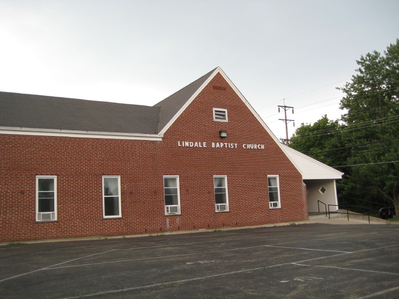
| Description | : | The Lindale Baptist Church was the church of Andrew Coombs, Jr., abolitionist and Underground Railroad conductor in Lindale, Clermont County, Ohio. Lindale is located on State Route 132 which was used as an Underground Railroad route from New Richmond. State Route 125 intersects with State Route 132. State Route 125 was used by John Rankin to transport fugitives from Ripley to Levi Coffin in Cincinnati. Andrew Coombs, Jr. is buried in the church cemetery. |
frequently asked questions (FAQ):
-
Where is Lindale Cemetery?
Lindale Cemetery is located at 3052 State Route 132 Lindale, Clermont County ,Ohio , 45102USA.
-
Lindale Cemetery cemetery's updated grave count on graveviews.com?
351 memorials
-
Where are the coordinates of the Lindale Cemetery?
Latitude: 38.9951900
Longitude: -84.2094900
Nearby Cemetories:
1. Love Farm Cemetery
Lindale, Clermont County, USA
Coordinate: 38.9873170, -84.2181330
2. Mattox Family Farm Cemetery
Ohio Township, Clermont County, USA
Coordinate: 39.0020540, -84.1980100
3. Tracy Family Cemetery
Lindale, Clermont County, USA
Coordinate: 38.9889090, -84.1943680
4. Mount Pisgah Cemetery
Mount Pisgah, Clermont County, USA
Coordinate: 38.9846400, -84.2273900
5. Cox McElfresh Wilson Cemetery
Lindale, Clermont County, USA
Coordinate: 38.9910170, -84.2327170
6. Christian Cemetery
Amelia, Clermont County, USA
Coordinate: 39.0184300, -84.1964700
7. Amelia Methodist Church Cemetery
Amelia, Clermont County, USA
Coordinate: 39.0283100, -84.2147900
8. Donham Family Cemetery
Pierce Township, Clermont County, USA
Coordinate: 38.9976520, -84.2580560
9. Shaw Cemetery
New Richmond, Clermont County, USA
Coordinate: 38.9572670, -84.2236000
10. Alexander Robb Cemetery
Monroe Township, Clermont County, USA
Coordinate: 38.9582330, -84.2329500
11. Odd Fellows Cemetery
Amelia, Clermont County, USA
Coordinate: 39.0346800, -84.2266300
12. Wheeler-Short Cemetery
Amelia, Clermont County, USA
Coordinate: 39.0294555, -84.2410666
13. Monroe Presbyterian Cemetery
Nicholsville, Clermont County, USA
Coordinate: 38.9682999, -84.1635971
14. Moreland Cemetery
New Richmond, Clermont County, USA
Coordinate: 38.9646988, -84.2525024
15. Ferguson Family Cemetery
Locust Corner, Clermont County, USA
Coordinate: 39.0220680, -84.2565689
16. Goble Cemetery
New Richmond, Clermont County, USA
Coordinate: 38.9702339, -84.2589035
17. Behymer Cemetery
New Palestine, Clermont County, USA
Coordinate: 39.0115330, -84.2651670
18. Saint Peters Cemetery
New Richmond, Clermont County, USA
Coordinate: 38.9702988, -84.2613983
19. Nicholsville Cemetery
Nicholsville, Clermont County, USA
Coordinate: 38.9575539, -84.1699753
20. Ten Mile Cemetery
New Richmond, Clermont County, USA
Coordinate: 39.0105080, -84.2698810
21. Lucy Run Cemetery
Amelia, Clermont County, USA
Coordinate: 39.0428009, -84.1924973
22. Franklin Cemetery
Laurel, Clermont County, USA
Coordinate: 38.9455700, -84.2278600
23. Behymer Family Cemetery
New Palestine, Clermont County, USA
Coordinate: 39.0139351, -84.2730179
24. Demeris Burial Site
Laurel, Clermont County, USA
Coordinate: 38.9393950, -84.2168490