
| Memorials | : | 5 |
| Location | : | Lisarow, Central Coast Council, Australia |
| Website | : | www.environment.nsw.gov.au/heritageapp/viewheritageitemdetails.aspx?id=1620183 |
| Coordinate | : | -33.3761970, 151.3747470 |
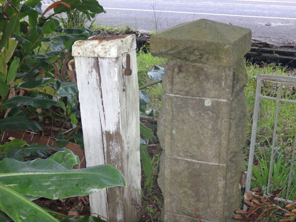
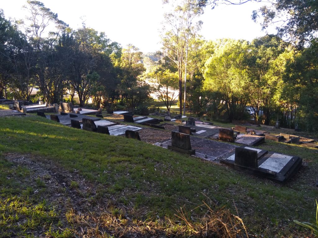
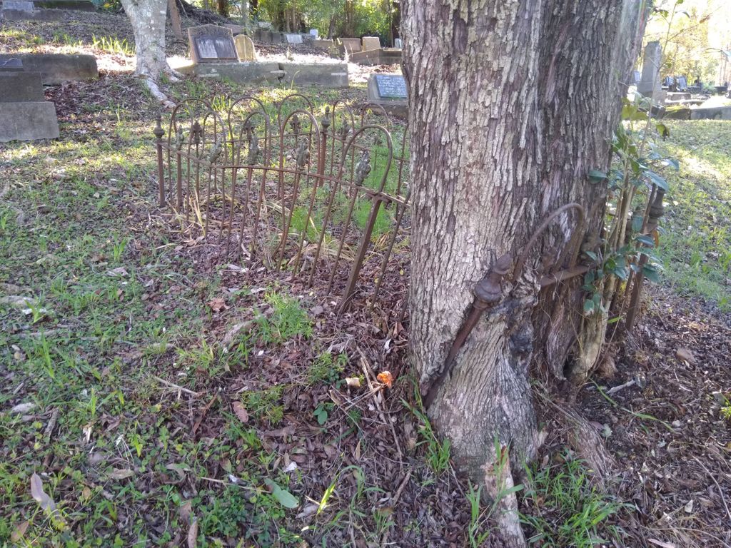
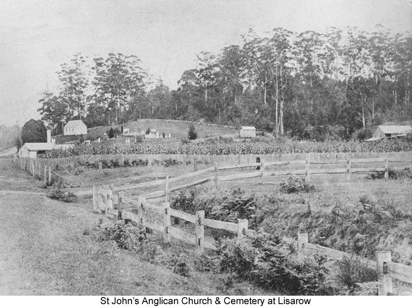
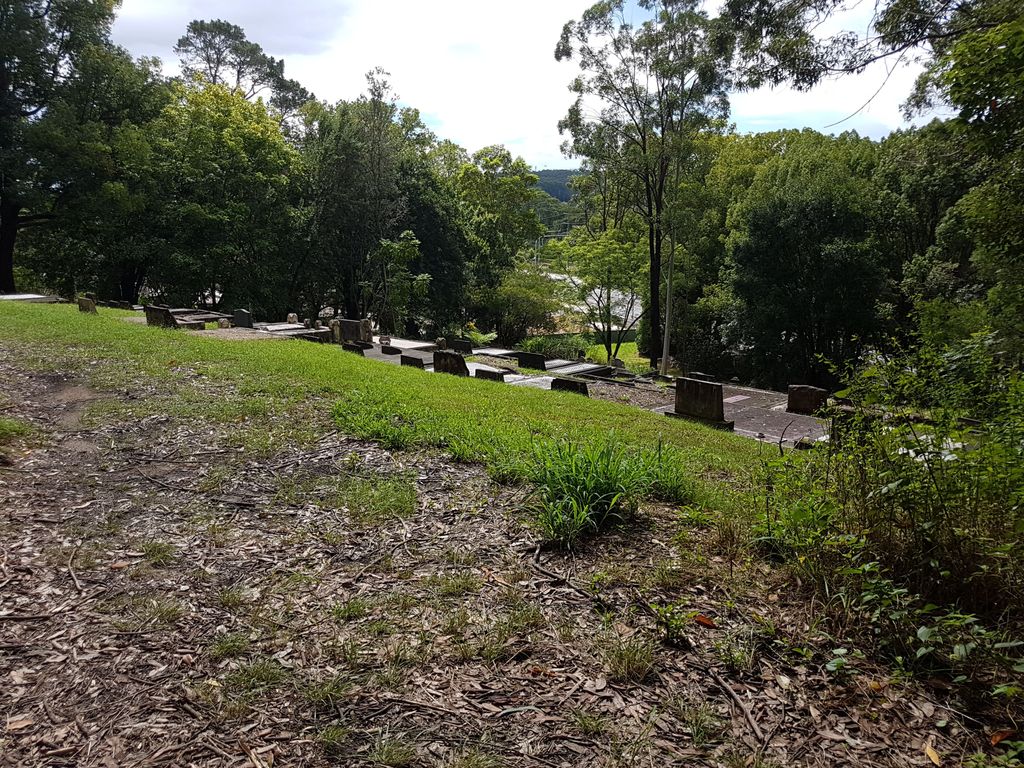
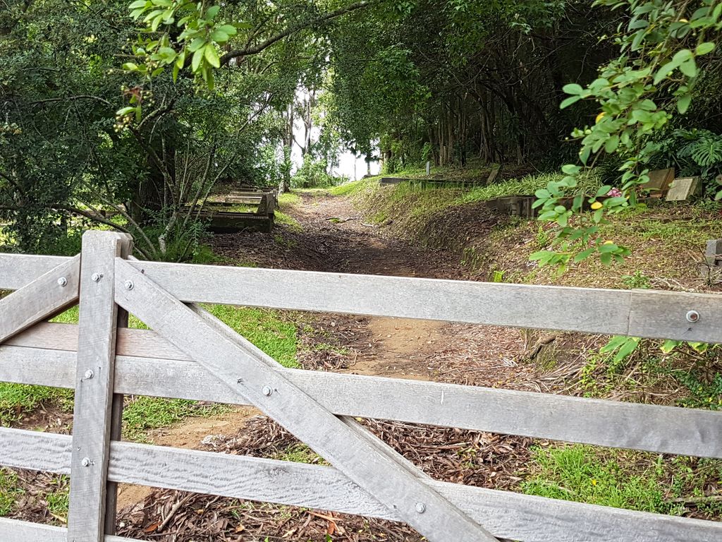
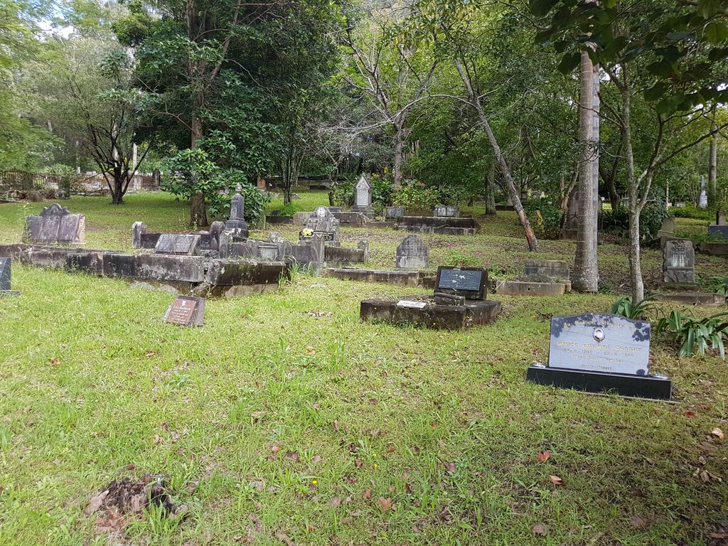
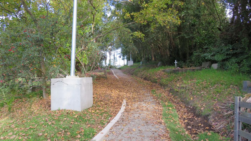
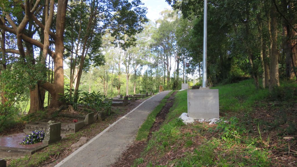
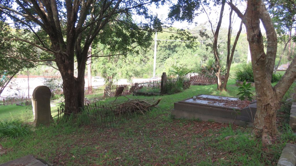
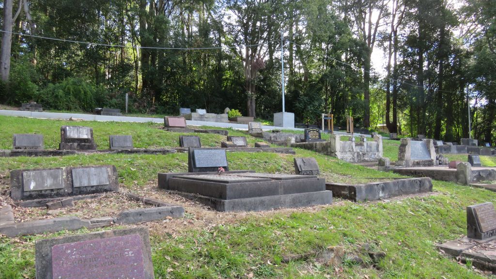
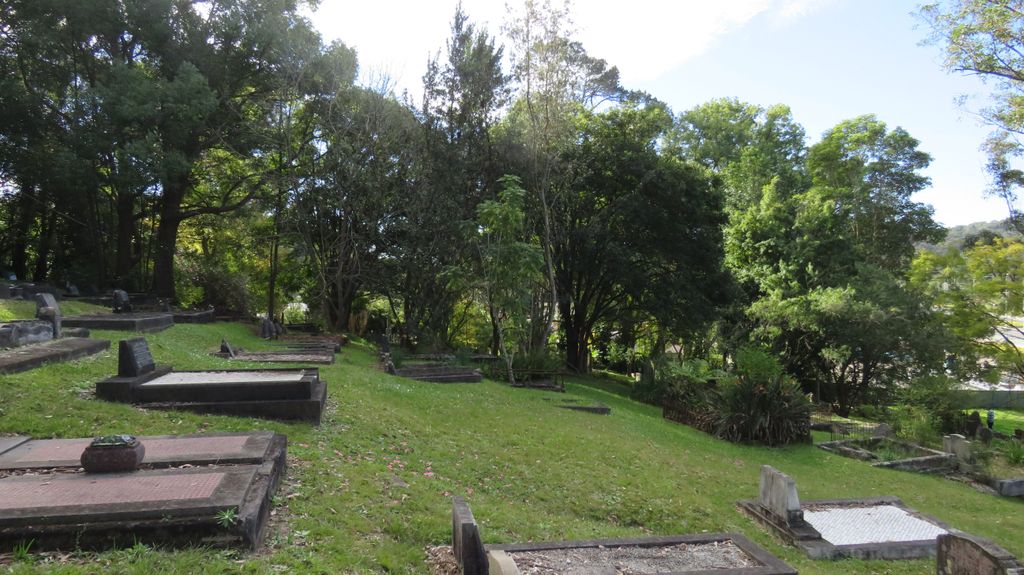
| Description | : | The Lisarow Cemetery at the corner of the Pacific Highway and Eagle Close, Lisarow, has rare local historic and social significance as a mid-nineteenth century Anglican (Church of England) cemetery associated with the early settlement of the district. Set above the Pacific Highway, the cemetery is an important feature of the landscape. Includes graves of many early settlers such as the Wamsley, Cottrell, Jacques, Chasling, Foot, Robley and Goldie families. Stone and marble headstones. Some mature trees and plantings. Stone gateposts to Pacific Highway. Wide variety of funeral monuments indicative of periodic styles, including examples of majolica. |
frequently asked questions (FAQ):
-
Where is Lisarow Cemetery?
Lisarow Cemetery is located at Pacific Hwy Lisarow, Central Coast Council ,New South Wales , 2250Australia.
-
Lisarow Cemetery cemetery's updated grave count on graveviews.com?
5 memorials
-
Where are the coordinates of the Lisarow Cemetery?
Latitude: -33.3761970
Longitude: 151.3747470
Nearby Cemetories:
1. Helys Grave
Wyoming, Central Coast Council, Australia
Coordinate: -33.4031120, 151.3505420
2. Palmdale Lawn Cemetery & Memorial Park
Palmdale, Central Coast Council, Australia
Coordinate: -33.3315580, 151.3750700
3. Bradys Gully Cemetery
Gosford, Central Coast Council, Australia
Coordinate: -33.4168700, 151.3492720
4. Ronkana Cemetery
Fountaindale, Central Coast Council, Australia
Coordinate: -33.3334600, 151.4005200
5. Wamberal Cemetery
Wamberal, Central Coast Council, Australia
Coordinate: -33.4169640, 151.4503560
6. Point Clare Cemetery
Point Clare, Central Coast Council, Australia
Coordinate: -33.4344800, 151.3128600
7. Point Frederick Pioneer Cemetery
Point Frederick, Central Coast Council, Australia
Coordinate: -33.4498830, 151.3417900
8. Greenway Chapel & Memorial Gardens
Kincumber, Central Coast Council, Australia
Coordinate: -33.4639900, 151.3734500
9. St Paul's Anglican Church Cemetery
Kincumber, Central Coast Council, Australia
Coordinate: -33.4697950, 151.3952220
10. Veteran Hall
Saratoga, Central Coast Council, Australia
Coordinate: -33.4786400, 151.3452750
11. Kincumber South Cemetery
Kincumber South, Central Coast Council, Australia
Coordinate: -33.4880610, 151.3759430
12. Jilliby Cemetery
Jilliby, Central Coast Council, Australia
Coordinate: -33.2607610, 151.3974120
13. Maloney Gravesite
Glenworth Valley, Central Coast Council, Australia
Coordinate: -33.4039645, 151.1957958
14. Yarramalong Cemetery
Yarramalong, Central Coast Council, Australia
Coordinate: -33.2263180, 151.2881020
15. Yarramalong Saint Barnabas
Yarramalong, Central Coast Council, Australia
Coordinate: -33.2189900, 151.2755430
16. Noraville Cemetery
Noraville, Central Coast Council, Australia
Coordinate: -33.2761820, 151.5572040
17. Holy Trinity Church Cemetery
Spencer, Central Coast Council, Australia
Coordinate: -33.4293910, 151.1639380
18. Greengrove Saint Peters Cemetery
Greengrove, Central Coast Council, Australia
Coordinate: -33.3803020, 151.1400300
19. Barrenjoey Head
Palm Beach, Northern Beaches Council, Australia
Coordinate: -33.5802716, 151.3300583
20. Upper Mangrove Saint Thomas Anglican
Upper Mangrove Creek, Central Coast Council, Australia
Coordinate: -33.3108330, 151.1296840
21. Frances Peat Lone Grave
Mooney Mooney, Central Coast Council, Australia
Coordinate: -33.5333171, 151.1989208
22. Bethshan Mission Cemetery
Wyee, Lake Macquarie City, Australia
Coordinate: -33.1704110, 151.4725570
23. Wyee Cemetery
Wyee, Lake Macquarie City, Australia
Coordinate: -33.1749420, 151.4941710
24. Brooklyn General Cemetery
Brooklyn, Hornsby Shire, Australia
Coordinate: -33.5471710, 151.1990020