
| Memorials | : | 0 |
| Location | : | Anna, Shelby County, USA |
| Coordinate | : | 40.4386460, -84.1393810 |
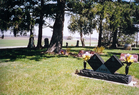
| Description | : | The cemetery is located on the south side of Ohio State Route 274 about 0.2 miles west of its intersection with Sidney-Freyburg Road (County Road 17). The cemetery is located in Dinsmore Township, Shelby County, Ohio, and is # 11183 (Long Cemetery / Dinsmore Township Cemetery) in “Ohio Cemeteries 1803-2003”, compiled by the Ohio Genealogical Society. The U.S. Geological Survey (USGS) Geographic Names Information System (GNIS) feature ID for the cemetery is 1731070 (Long Cemetery). |
frequently asked questions (FAQ):
-
Where is Long Cemetery?
Long Cemetery is located at Ohio State Route 274 Anna, Shelby County ,Ohio , 45302USA.
-
Long Cemetery cemetery's updated grave count on graveviews.com?
0 memorials
-
Where are the coordinates of the Long Cemetery?
Latitude: 40.4386460
Longitude: -84.1393810
Nearby Cemetories:
1. Saint Lawrence Cemetery
Botkins, Shelby County, USA
Coordinate: 40.4678001, -84.1258011
2. Old Loramie Valley Cemetery
Botkins, Shelby County, USA
Coordinate: 40.4528008, -84.1785965
3. New Loramie Valley Cemetery
Botkins, Shelby County, USA
Coordinate: 40.4552994, -84.1781006
4. Emanuel Lutheran Church Cemetery
Montra, Shelby County, USA
Coordinate: 40.4318840, -84.0932880
5. Howell Cemetery
Montra, Shelby County, USA
Coordinate: 40.4323800, -84.0896990
6. Saint Jacob Lutheran Cemetery
Jackson Township, Shelby County, USA
Coordinate: 40.4650500, -84.0971700
7. Mount Gilead Methodist Episcopal Church Cemetery
Anna, Shelby County, USA
Coordinate: 40.3997700, -84.1732800
8. Immaculate Conception Cemetery
Botkins, Shelby County, USA
Coordinate: 40.4742165, -84.1832809
9. Toland Cemetery
Anna, Shelby County, USA
Coordinate: 40.4096985, -84.1947021
10. Wesley Chapel Cemetery
Anna, Shelby County, USA
Coordinate: 40.3873220, -84.1208010
11. Elliott Cemetery
Jackson Center, Shelby County, USA
Coordinate: 40.4539990, -84.0659900
12. Petersburg Cemetery
Wapakoneta, Auglaize County, USA
Coordinate: 40.4985290, -84.1630490
13. Seventh Day Baptist Cemetery
Jackson Center, Shelby County, USA
Coordinate: 40.4392200, -84.0496600
14. Collins Cemetery
Kettlersville, Shelby County, USA
Coordinate: 40.4392014, -84.2303009
15. Redman Cemetery
Van Buren Township, Shelby County, USA
Coordinate: 40.4169006, -84.2272034
16. Saint Jacob Lutheran Cemetery
Franklin Township, Shelby County, USA
Coordinate: 40.3719550, -84.1708700
17. Pearl Cemetery
Swanders, Shelby County, USA
Coordinate: 40.3653420, -84.1701640
18. Scott Cemetery
Auglaize County, USA
Coordinate: 40.4987850, -84.2052860
19. Schemmel Cemetery
Auglaize County, USA
Coordinate: 40.5069008, -84.1911011
20. Saint Johns Cemetery
Fryburg, Auglaize County, USA
Coordinate: 40.5175018, -84.1449966
21. Saint Mark Lutheran Cemetery
Geyer, Auglaize County, USA
Coordinate: 40.5036000, -84.0781000
22. Bethel McCord Cemetery
Salem Township, Shelby County, USA
Coordinate: 40.3853320, -84.0502970
23. Old Saint Johns Cemetery
Wapakoneta, Auglaize County, USA
Coordinate: 40.5264015, -84.1577988
24. Saint Johns Lutheran Church Cemetery
Wapakoneta, Auglaize County, USA
Coordinate: 40.5264000, -84.1633000