
| Memorials | : | 0 |
| Location | : | Harlingen, Cameron County, USA |
| Coordinate | : | 26.2557370, -97.6810500 |
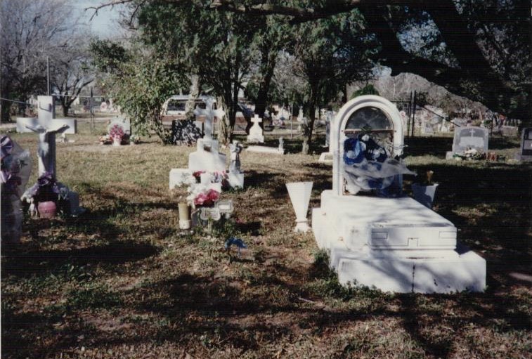
| Description | : | This cemetery stands immediately to the northeast of the Ashland Memorial Park, separately fenced, and separately owned.. This area used to be the Los Omales Ranch. Both cemeteries are located just a few miles north of the Harlingen City Limits, on Godwin Road. |
frequently asked questions (FAQ):
-
Where is Los Omales Cemetery?
Los Omales Cemetery is located at Harlingen, Cameron County ,Texas ,USA.
-
Los Omales Cemetery cemetery's updated grave count on graveviews.com?
0 memorials
-
Where are the coordinates of the Los Omales Cemetery?
Latitude: 26.2557370
Longitude: -97.6810500
Nearby Cemetories:
1. Ashland Memorial Park
Harlingen, Cameron County, USA
Coordinate: 26.2536330, -97.6821500
2. El Muerto Cemetery
Harlingen, Cameron County, USA
Coordinate: 26.2507300, -97.6814600
3. Alvarez Family Cemetery
Harlingen, Cameron County, USA
Coordinate: 26.2499800, -97.6818900
4. Marine Military Academy Grounds
Harlingen, Cameron County, USA
Coordinate: 26.2232600, -97.6674500
5. Frank Ferree Gravesite
Harlingen, Cameron County, USA
Coordinate: 26.2166000, -97.6892700
6. Harlingen-Combes Memorial Cemetery
Combes, Cameron County, USA
Coordinate: 26.2544300, -97.7360900
7. San Rafael Cemetery
Combes, Cameron County, USA
Coordinate: 26.2691994, -97.7664032
8. Harlingen City Cemetery
Harlingen, Cameron County, USA
Coordinate: 26.1793200, -97.7018200
9. El Pie Cemetery
Combes, Cameron County, USA
Coordinate: 26.2972500, -97.7635800
10. Rio Hondo City Cemetery
Rio Hondo, Cameron County, USA
Coordinate: 26.2267300, -97.5853600
11. Robinson Family Gravesites
Rio Hondo, Cameron County, USA
Coordinate: 26.2382800, -97.5756100
12. Rio Hondo Community Cemetery
Rio Hondo, Cameron County, USA
Coordinate: 26.2374300, -97.5710300
13. Mont Meta Memorial Park
San Benito, Cameron County, USA
Coordinate: 26.1825008, -97.5883026
14. Palis Road Cemetery
Cameron County, USA
Coordinate: 26.1982900, -97.7944500
15. Hinojosa Cemetery
Santa Rosa, Cameron County, USA
Coordinate: 26.2361330, -97.8109170
16. San Benito City Cemetery
San Benito, Cameron County, USA
Coordinate: 26.1508500, -97.6159700
17. San Benito Memorial Park Cemetery
Cameron County, USA
Coordinate: 26.1511810, -97.6139120
18. Restlawn Memorial Park
La Feria, Cameron County, USA
Coordinate: 26.1653004, -97.7968979
19. Heavenly Grace Memorial Park
La Feria, Cameron County, USA
Coordinate: 26.1686783, -97.8009186
20. La Capilla Cemetery
La Feria, Cameron County, USA
Coordinate: 26.2087700, -97.8281900
21. San Vicente Cemetery #2
Las Yescas, Cameron County, USA
Coordinate: 26.2239700, -97.5256700
22. Agado Family Cemetery
San Benito, Cameron County, USA
Coordinate: 26.1118200, -97.6914000
23. Santo Nombre Cemetery
Santa Rosa, Cameron County, USA
Coordinate: 26.3019100, -97.8337500
24. San Vicente Cemetery # 1
Las Yescas, Cameron County, USA
Coordinate: 26.2251000, -97.5204700