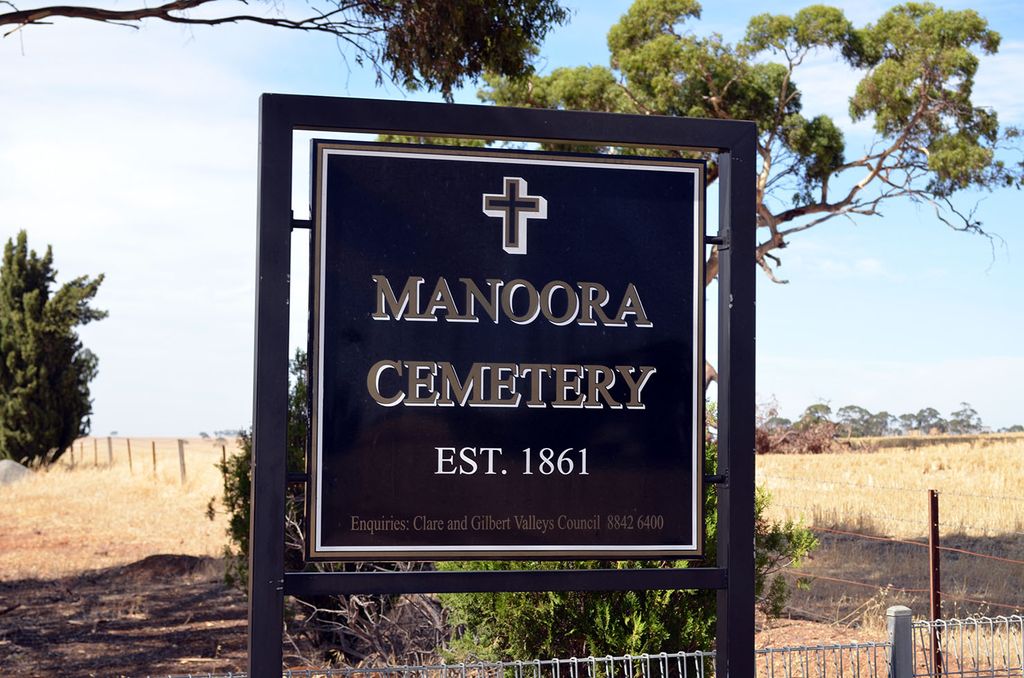
| Memorials | : | 155 |
| Location | : | Manoora, District Council of Clare and Gilbert Valleys, Australia |
| Coordinate | : | -34.0127090, 138.8140030 |
frequently asked questions (FAQ):
-
Where is Manoora Public Cemetery?
Manoora Public Cemetery is located at Barrier Highway Manoora, District Council of Clare and Gilbert Valleys ,South Australia , 5415Australia.
-
Manoora Public Cemetery cemetery's updated grave count on graveviews.com?
155 memorials
-
Where are the coordinates of the Manoora Public Cemetery?
Latitude: -34.0127090
Longitude: 138.8140030
Nearby Cemetories:
1. Manoora Catholic Cemetery
Manoora, District Council of Clare and Gilbert Valleys, Australia
Coordinate: -33.9911920, 138.8144040
2. St. Johns Lutheran Church Cemetery
Waterloo, District Council of Clare and Gilbert Valleys, Australia
Coordinate: -34.0148720, 138.8722190
3. Waterloo Methodist Cemetery
Waterloo, District Council of Clare and Gilbert Valleys, Australia
Coordinate: -33.9891100, 138.8809620
4. Auburn Cemetery
Auburn, District Council of Clare and Gilbert Valleys, Australia
Coordinate: -34.0314560, 138.7036850
5. Tothill Creek Cemetery
Tothill Creek, District Council of Clare and Gilbert Valleys, Australia
Coordinate: -34.0781820, 138.9170250
6. St John’s Anglican Cemetery
Auburn, District Council of Clare and Gilbert Valleys, Australia
Coordinate: -34.0264310, 138.6835587
7. Tothill Creek St Edmund's Anglican Cemetery
Marrabel, District Council of Clare and Gilbert Valleys, Australia
Coordinate: -34.0888160, 138.9094860
8. Apoinga Cemetery
Apoinga, Goyder Regional Council, Australia
Coordinate: -33.9603800, 138.9407500
9. Undalya St. Patrick's Catholic Cemetery
Undalya, District Council of Clare and Gilbert Valleys, Australia
Coordinate: -34.0756230, 138.6930860
10. Mintaro Cemetery
Mintaro, District Council of Clare and Gilbert Valleys, Australia
Coordinate: -33.9175520, 138.7164540
11. Mintaro Catholic Cemetery
Mintaro, District Council of Clare and Gilbert Valleys, Australia
Coordinate: -33.9124530, 138.7194630
12. St. Agnes Catholic Cemetery
Marrabel, District Council of Clare and Gilbert Valleys, Australia
Coordinate: -34.1411778, 138.8630086
13. Watervale Cemetery
Clare, District Council of Clare and Gilbert Valleys, Australia
Coordinate: -33.9678890, 138.6546991
14. Black Springs Cemetery
Black Springs, District Council of Clare and Gilbert Valleys, Australia
Coordinate: -33.8884150, 138.8909940
15. Riverton Cemetery
Riverton, District Council of Clare and Gilbert Valleys, Australia
Coordinate: -34.1406080, 138.7459360
16. Ettrick United Presbyterian Cemetery
Riverton, District Council of Clare and Gilbert Valleys, Australia
Coordinate: -34.1532230, 138.8141270
17. Peters Hill St Peter Lutheran Cemetery
Riverton, District Council of Clare and Gilbert Valleys, Australia
Coordinate: -34.1537489, 138.8236644
18. Peters Hill Pioneer Cemetery
Riverton, District Council of Clare and Gilbert Valleys, Australia
Coordinate: -34.1683610, 138.8283480
19. Peter's Hill Huppatz Lutheran Cemetery
Marrabel, District Council of Clare and Gilbert Valleys, Australia
Coordinate: -34.1688000, 138.8232000
20. Leasingham Upper Skilly Cemetery
Auburn, District Council of Clare and Gilbert Valleys, Australia
Coordinate: -33.9996690, 138.6179280
21. Brady Creek Lutheran Cemetery
Brady Creek, Goyder Regional Council, Australia
Coordinate: -33.9510160, 138.9975130
22. St. Philip's Anglican Church Cemetery
Marrabel, District Council of Clare and Gilbert Valleys, Australia
Coordinate: -34.1760370, 138.8658570
23. Woolshed Flat Wesleyan Cemetery
Rhynie, District Council of Clare and Gilbert Valleys, Australia
Coordinate: -34.1220610, 138.6575830
24. St. Mark's Angelican Cemetery
Penwortham, District Council of Clare and Gilbert Valleys, Australia
Coordinate: -33.9214510, 138.6413830


