
| Memorials | : | 7 |
| Location | : | Marlinton, Pocahontas County, USA |
| Coordinate | : | 38.2210200, -80.1004210 |
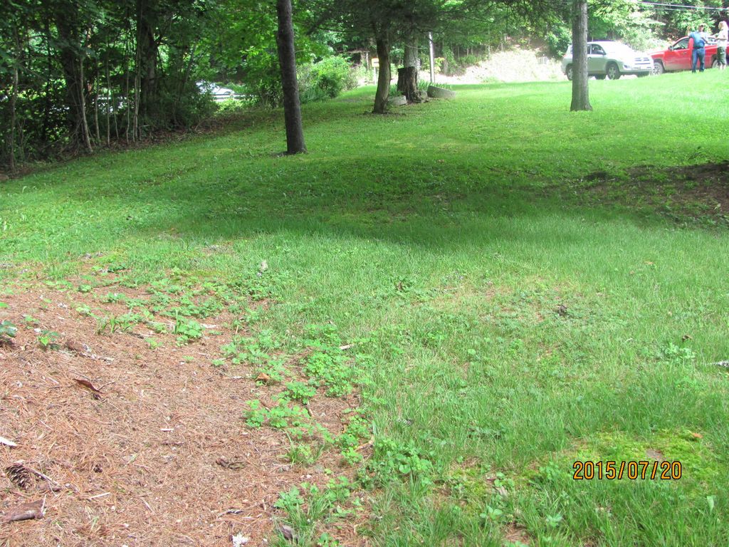
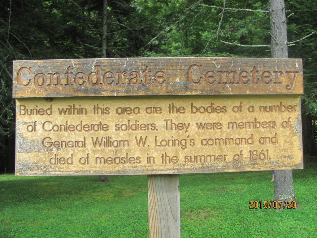
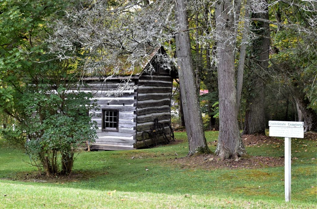
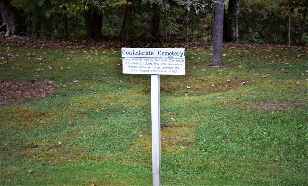
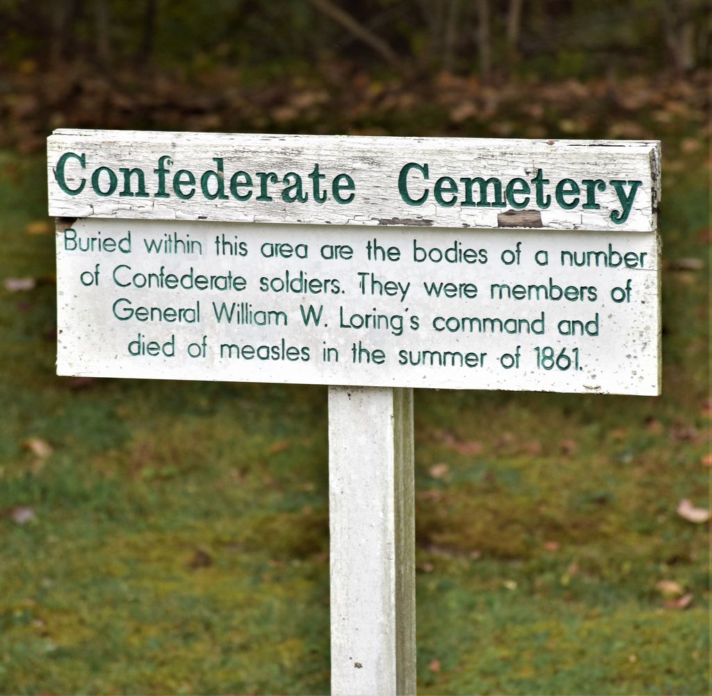
| Description | : | Located on the grounds of the Pocahontas County Historical Society Museum on Route #219 in Marlinton, the old name being Marlin's Bottom. This was originally western Virginia and is listed as such or simply as Virginia on the service records of the men buried here. Approx. 30 Southern soldiers who died of disease are buried here. |
frequently asked questions (FAQ):
-
Where is Marlin's Bottom Confederate Cemetery?
Marlin's Bottom Confederate Cemetery is located at Marlinton, Pocahontas County ,West Virginia ,USA.
-
Marlin's Bottom Confederate Cemetery cemetery's updated grave count on graveviews.com?
0 memorials
-
Where are the coordinates of the Marlin's Bottom Confederate Cemetery?
Latitude: 38.2210200
Longitude: -80.1004210
Nearby Cemetories:
1. Alta Price Cemetery
Marlinton, Pocahontas County, USA
Coordinate: 38.2169770, -80.0909510
2. McLaughlin Cemetery
Marlinton, Pocahontas County, USA
Coordinate: 38.2167390, -80.0865550
3. Mountain View Cemetery
Marlinton, Pocahontas County, USA
Coordinate: 38.2141991, -80.0800018
4. Campbelltown Gay Cemetery
Campbelltown, Pocahontas County, USA
Coordinate: 38.2401580, -80.0912230
5. McKenney Family Cemetery
Marlinton, Pocahontas County, USA
Coordinate: 38.2401200, -80.0864541
6. Kee Cemetery
Buckeye, Pocahontas County, USA
Coordinate: 38.2058720, -80.1231310
7. Sharp Family Cemetery
Marlinton, Pocahontas County, USA
Coordinate: 38.2456440, -80.1060940
8. Beverage Cemetery
Onoto, Pocahontas County, USA
Coordinate: 38.2447180, -80.1375780
9. Wilfong Cemetery
Marlinton, Pocahontas County, USA
Coordinate: 38.2515920, -80.0629000
10. Brownsburg Cemetery
Marlinton, Pocahontas County, USA
Coordinate: 38.2599800, -80.0737610
11. Buckeye Cemetery
Buckeye, Pocahontas County, USA
Coordinate: 38.1823840, -80.1342550
12. Messir Cemetery
Pocahontas County, USA
Coordinate: 38.1721992, -80.0699997
13. Cochran Cemetery
Onoto, Pocahontas County, USA
Coordinate: 38.2721080, -80.1267030
14. Gay Cemetery
Edray, Pocahontas County, USA
Coordinate: 38.2768660, -80.0963400
15. Mount Pleasant Cemetery
Marlinton, Pocahontas County, USA
Coordinate: 38.2816750, -80.0747760
16. Gay Cemetery
Marlinton, Pocahontas County, USA
Coordinate: 38.2892685, -80.0795517
17. Huntersville Confederate Cemetery
Huntersville, Pocahontas County, USA
Coordinate: 38.1858750, -80.0179490
18. Whites Chapel United Methodist Church Cemetery
Woodrow, Pocahontas County, USA
Coordinate: 38.2797630, -80.1633310
19. McLaughlin Cemetery
Huntersville, Pocahontas County, USA
Coordinate: 38.1944000, -80.0087620
20. Huntersville Cemetery
Huntersville, Pocahontas County, USA
Coordinate: 38.1841770, -80.0140410
21. Old McLaughlin Cemetery
Huntersville, Pocahontas County, USA
Coordinate: 38.1923730, -80.0056150
22. Ruckman Cemetery
Mill Point, Pocahontas County, USA
Coordinate: 38.1603830, -80.1676990
23. Fairview Cemetery
Marlinton, Pocahontas County, USA
Coordinate: 38.2816280, -80.0259560
24. William Sharp, Jr. Cemetery
Pocahontas County, USA
Coordinate: 38.2925960, -80.0429690