
| Memorials | : | 8 |
| Location | : | Bell County, USA |
| Coordinate | : | 36.5988890, -83.6986110 |
| Description | : | From Middlesboro, Bell County, KY take HWY 25E toward Tennessee and immediately exit right into Cumberland Gap National Historical Park. Stop at the first stop sign and make a right. Bear left and follow the road for approx. 0.2 miles and make the first right toward the campground/maintenance area. Take this road 0.9 miles past the campgrounds and maintenance buildings, the road will become gravel, following to the right at the railroad trestle, and follow the road up the hill to the cemetery. |
frequently asked questions (FAQ):
-
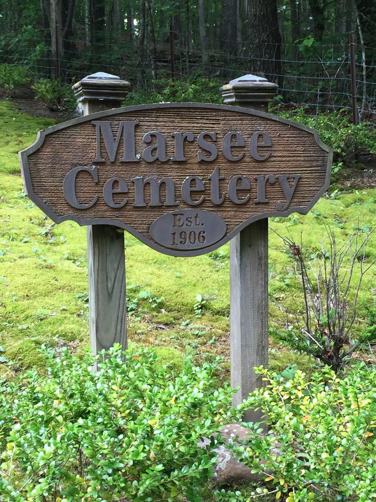
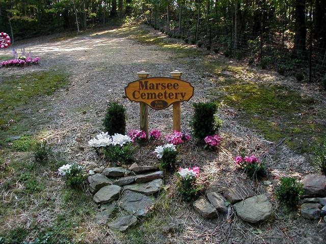
Where is Marsee Cemetery?
Marsee Cemetery is located at Cumberland Gap National Park Bell County ,Kentucky ,USA.
-
Marsee Cemetery cemetery's updated grave count on graveviews.com?
8 memorials
-
Where are the coordinates of the Marsee Cemetery?
Latitude: 36.5988890
Longitude: -83.6986110
Nearby Cemetories:
1. Miracle Cemetery #4
Davisburg, Bell County, USA
Coordinate: 36.6117084, -83.7207006
2. Ball Cemetery
Bell County, USA
Coordinate: 36.6199972, -83.7113139
3. Denny Family Cemetery
Gibson Station, Lee County, USA
Coordinate: 36.6052900, -83.6374800
4. Ball Cemetery
Gibson Station, Lee County, USA
Coordinate: 36.5992012, -83.6267014
5. Ely Cemetery
Cumberland Gap, Claiborne County, USA
Coordinate: 36.5457993, -83.6613998
6. Kibert Cemetery
Arthur, Claiborne County, USA
Coordinate: 36.5381012, -83.6844025
7. Billingsley Cemetery
Arthur, Claiborne County, USA
Coordinate: 36.5360800, -83.6842400
8. Turner Cemetery #3
Colmar, Bell County, USA
Coordinate: 36.6553040, -83.6583330
9. Good Cemetery #1
Hutch, Bell County, USA
Coordinate: 36.6475415, -83.6405603
10. Chumley Cemetery #01
Arthur, Claiborne County, USA
Coordinate: 36.5410995, -83.6532974
11. Middleton Cemetery
Fork Ridge, Claiborne County, USA
Coordinate: 36.5727420, -83.7798760
12. Flemon Cemetery
Claiborne County, USA
Coordinate: 36.5647011, -83.6175003
13. Carr Cemetery
Cumberland Gap, Claiborne County, USA
Coordinate: 36.5259900, -83.7121300
14. Major George Gibson Cemetery
Gibson Station, Lee County, USA
Coordinate: 36.6082630, -83.6058150
15. Riverview Cemetery
Cumberland Gap, Claiborne County, USA
Coordinate: 36.5442450, -83.6325710
16. Bruce Cemetery
Claiborne County, USA
Coordinate: 36.5252991, -83.7332993
17. Powers Family Cemetery
Cumberland Gap, Claiborne County, USA
Coordinate: 36.5192700, -83.6919200
18. Underwood Grove Missionary Baptist Church Cemetery
Cumberland Gap, Claiborne County, USA
Coordinate: 36.5192700, -83.6918600
19. Fork Ridge Cemetery
Claiborne County, USA
Coordinate: 36.5815560, -83.7991620
20. Ball Ridge Cemetery
Claiborne County, USA
Coordinate: 36.5175370, -83.6808000
21. Cannon Creek Cemetery #2
Ferndale, Bell County, USA
Coordinate: 36.6819000, -83.6880200
22. Chumley Cemetery #02
Arthur, Claiborne County, USA
Coordinate: 36.5256004, -83.6483002
23. Hooper Cemetery
Cumberland Gap, Claiborne County, USA
Coordinate: 36.5133018, -83.6903000
24. Dobbs Cemetery
Forge Ridge, Claiborne County, USA
Coordinate: 36.5833271, -83.5922605