
| Memorials | : | 2 |
| Location | : | Spottsville, Henderson County, USA |
| Coordinate | : | 37.8566120, -87.4328890 |
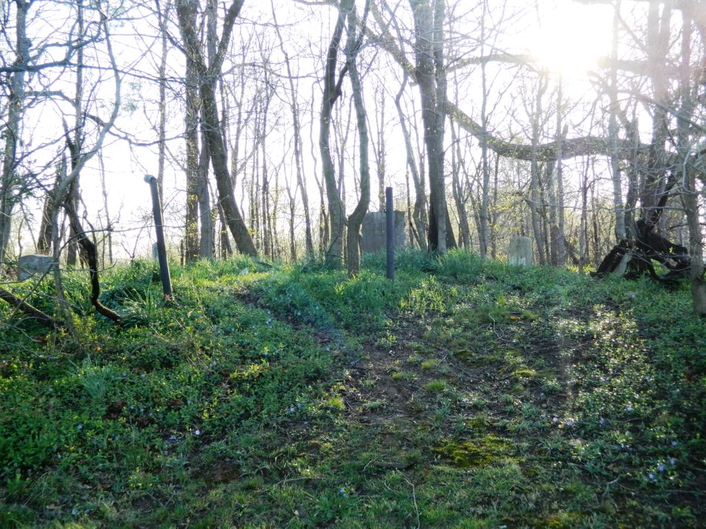
| Description | : | Cemetery name (Mary Smith) was taken from Henderson County, Ky Cemetery Map. Prepared by James L. Blue, 1990. Also know as Smith Cemetery. Listed as an African-American cemetery. |
frequently asked questions (FAQ):
-
Where is Mary Smith Cemetery?
Mary Smith Cemetery is located at Spottsville, Henderson County ,Kentucky ,USA.
-
Mary Smith Cemetery cemetery's updated grave count on graveviews.com?
2 memorials
-
Where are the coordinates of the Mary Smith Cemetery?
Latitude: 37.8566120
Longitude: -87.4328890
Nearby Cemetories:
1. Ridgewood Cemetery
Spottsville, Henderson County, USA
Coordinate: 37.8564570, -87.4304010
2. Boyd Cemetery
Spottsville, Henderson County, USA
Coordinate: 37.8582100, -87.4238700
3. Cheaney Cemetery
Henderson County, USA
Coordinate: 37.8628995, -87.4212982
4. Baskett Cemetery
Henderson, Henderson County, USA
Coordinate: 37.8782997, -87.4561005
5. Posey Cemetery
Baskett, Henderson County, USA
Coordinate: 37.8789890, -87.4557640
6. Newman - Woods Cemetery
Hebbardsville, Henderson County, USA
Coordinate: 37.8223280, -87.4286840
7. Carter Cemetery
Beals, Henderson County, USA
Coordinate: 37.8681710, -87.3831510
8. Graham Cemetery
Henderson, Henderson County, USA
Coordinate: 37.8776100, -87.4795000
9. Jordan Cemetery
Baskett, Henderson County, USA
Coordinate: 37.8668940, -87.4868050
10. Cabell Cemetery
Henderson County, USA
Coordinate: 37.8529810, -87.4941110
11. Thompson Cemetery
Henderson County, USA
Coordinate: 37.8605770, -87.4966780
12. Hatchett Cemetery
Zion, Henderson County, USA
Coordinate: 37.8111800, -87.4680780
13. Brickwall Cemetery
Beals, Henderson County, USA
Coordinate: 37.8903008, -87.3758011
14. Mount Zion General Baptist Church Cemetery
Reed, Henderson County, USA
Coordinate: 37.8233480, -87.3625430
15. Saint Augustine Cemetery
Reed, Henderson County, USA
Coordinate: 37.8562410, -87.3506320
16. Zion Cemetery
Zion, Henderson County, USA
Coordinate: 37.8085250, -87.4889690
17. Folden - Stanley Cemetery
Carlinburg, Henderson County, USA
Coordinate: 37.8938680, -87.3603680
18. Pagett Cemetery
Bluff City, Henderson County, USA
Coordinate: 37.7994500, -87.3845500
19. Holloway Cemetery
Graham Hill, Henderson County, USA
Coordinate: 37.8296880, -87.5163720
20. Larkin White Family Cemetery
Zion, Henderson County, USA
Coordinate: 37.8105300, -87.5020100
21. Stone Cemetery
Zion, Henderson County, USA
Coordinate: 37.7835900, -87.4452100
22. Griffin Cemetery
Henderson, Henderson County, USA
Coordinate: 37.7800090, -87.4418160
23. Smith Cemetery
Hebbardsville, Henderson County, USA
Coordinate: 37.7794120, -87.4426080
24. Boswell Cemetery
Bluff City, Henderson County, USA
Coordinate: 37.7931000, -87.3700200