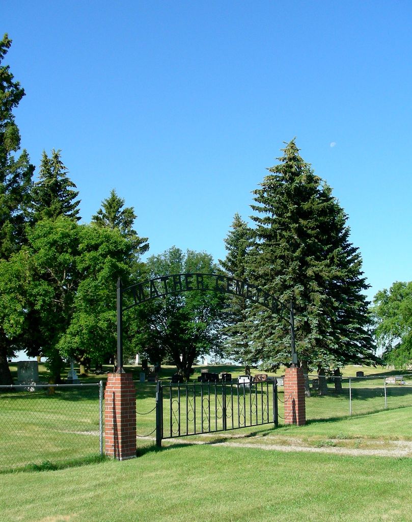
| Memorials | : | 15 |
| Location | : | Mather, Pilot Mound Census Division, Canada |
| Coordinate | : | 49.1034180, -99.1819950 |
| Description | : | This cemetery is located in the Rural Municipality of Roblin, near the community of Mather. The first recorded burials are from 1904, although earlier dates are recorded on a few headstones. Four acres for the cemetery were purchased from Wm Gordon for $135 by the RM of Roblin in 1905. Groundskeepers through to the 1980s have been Orange Howard, Wes. Howard, Ab. Fulford, Frank Baudic Sr, Jack Lloyd and Earl Howard. The local history book "Crocus Country. A History of Mather & Surrounding Districts" was published in 1981 and contains biographies of many of the people buried in this cemetery.... Read More |
frequently asked questions (FAQ):
-
Where is Mather Cemetery?
Mather Cemetery is located at Mather, Pilot Mound Census Division ,Manitoba ,Canada.
-
Mather Cemetery cemetery's updated grave count on graveviews.com?
15 memorials
-
Where are the coordinates of the Mather Cemetery?
Latitude: 49.1034180
Longitude: -99.1819950
Nearby Cemetories:
1. Cartwright Cemetery
Cartwright, Pilot Mound Census Division, Canada
Coordinate: 49.1041360, -99.3339390
2. Clearwater Cemetery
Clearwater, Pilot Mound Census Division, Canada
Coordinate: 49.1336470, -99.0109000
3. McLean Family Cemetery
Cartwright, Pilot Mound Census Division, Canada
Coordinate: 49.0441800, -99.3344400
4. Marringhurst Cemetery
Glenora, Pilot Mound Census Division, Canada
Coordinate: 49.2290400, -99.0884700
5. Dash Cemetery
Towner County, USA
Coordinate: 48.9641991, -99.0830994
6. Crystal City Cemetery
Crystal City, Pilot Mound Census Division, Canada
Coordinate: 49.1415472, -98.9532750
7. Greenway Family Cemetery
Crystal City, Pilot Mound Census Division, Canada
Coordinate: 49.1534410, -98.9532030
8. Neelin Cemetery
Neelin, Pilot Mound Census Division, Canada
Coordinate: 49.2365800, -99.3590100
9. Holmfield Cemetery
Holmfield, Southwestern Census Division, Canada
Coordinate: 49.1479730, -99.4825740
10. Hansboro Cemetery
Hansboro, Towner County, USA
Coordinate: 48.9565056, -99.3942500
11. Woodbridge Cemetery
Cypress Township, Cavalier County, USA
Coordinate: 48.9817009, -98.9344025
12. Sarles Cemetery
Sarles, Cavalier County, USA
Coordinate: 48.9436290, -98.9900330
13. Greenwood Cemetery South
Pilot Mound, Pilot Mound Census Division, Canada
Coordinate: 49.2063300, -98.9077530
14. Greenwood Cemetery
Pilot Mound, Pilot Mound Census Division, Canada
Coordinate: 49.2074600, -98.9077700
15. Argyle Cemetery
Argyle, Pilot Mound Census Division, Canada
Coordinate: 49.3410111, -99.2470861
16. Byron Cemetery
Byron Township, Cavalier County, USA
Coordinate: 48.9644012, -98.8356018
17. Baldur Cemetery
Baldur, Pilot Mound Census Division, Canada
Coordinate: 49.3783500, -99.2458700
18. Wood Bay Cemetery
Wood Bay, Pilot Mound Census Division, Canada
Coordinate: 49.2725800, -98.8378100
19. Mariapolis Roman Catholic Cemetery
Mariapolis, Pilot Mound Census Division, Canada
Coordinate: 49.3611550, -98.9858360
20. Corinthian Cemetery
Calvin, Cavalier County, USA
Coordinate: 48.8622017, -98.9356003
21. Rock Lake Community Cemetery
Rock Lake, Towner County, USA
Coordinate: 48.8024810, -99.2581270
22. Mount View Cemetery
Towner County, USA
Coordinate: 48.8339005, -99.4156036
23. Ellison Cemetery
Rock Lake, Towner County, USA
Coordinate: 48.7906700, -99.0921900
24. All Nations Lutheran Cemetery
Rock Lake, Towner County, USA
Coordinate: 48.7807999, -99.2619019

