
| Memorials | : | 0 |
| Location | : | Mauriceville West, Masterton District, New Zealand |
| Coordinate | : | -40.7670300, 175.6799680 |
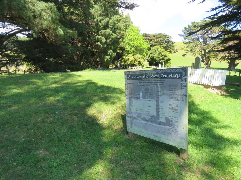
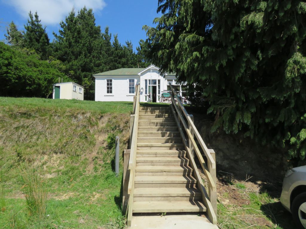
| Description | : | This small cemetery is located behind the historic Mauriceville West School. A pine plantation now covers part of the original cemetery, and a wooden headstone stands among these trees. A sign named 'Mauriceville West School & Historic Cemetery' at 11 South Road (sharing a driveway with a house that has the address of 285 South Road) indicates the driveway to the old Mauriceville West School and Cemetery. Across the road and separated by only a few meters is the Mauriceville West Lutheran Cemetery. In 1978 Malcolm R Larsen of Wellington compiled a history of the area that included known burials and this... Read More |
frequently asked questions (FAQ):
-
Where is Mauriceville West Cemetery?
Mauriceville West Cemetery is located at 11 South Road Mauriceville West, Masterton District ,Wellington ,New Zealand.
-
Mauriceville West Cemetery cemetery's updated grave count on graveviews.com?
0 memorials
-
Where are the coordinates of the Mauriceville West Cemetery?
Latitude: -40.7670300
Longitude: 175.6799680
Nearby Cemetories:
1. Saint Francis Lutheran Churchyard
Mauriceville West, Masterton District, New Zealand
Coordinate: -40.7652900, 175.6834400
2. Hastwell Cemetery
Eketahuna, Tararua District, New Zealand
Coordinate: -40.7191500, 175.7216100
3. Scandinavian Camp Cemetery
Kopuaranga, Masterton District, New Zealand
Coordinate: -40.8345650, 175.6643220
4. David Leary Memorial
Eketahuna, Tararua District, New Zealand
Coordinate: -40.7079188, 175.5836626
5. Eketahuna Lawn Cemetery
Eketahuna, Tararua District, New Zealand
Coordinate: -40.6538700, 175.6883400
6. First Cemetery of Eketahuna
Eketahuna, Tararua District, New Zealand
Coordinate: -40.6467990, 175.7136840
7. Newman Cemetery
Eketahuna, Tararua District, New Zealand
Coordinate: -40.6154770, 175.7134490
8. Alfredton Cemetery
Alfredton, Tararua District, New Zealand
Coordinate: -40.6808500, 175.8670160
9. Akura Urupā
Masterton, Masterton District, New Zealand
Coordinate: -40.9314120, 175.6349090
10. Church of St Francis of Assisi
Bideford, Masterton District, New Zealand
Coordinate: -40.8592400, 175.8714600
11. Te Ahitainga Urupā
Masterton, Masterton District, New Zealand
Coordinate: -40.9393000, 175.7030750
12. Masterton War Memorial
Masterton, Masterton District, New Zealand
Coordinate: -40.9501290, 175.6648800
13. Ahi pane pane Urupā
Masterton, Masterton District, New Zealand
Coordinate: -40.9524060, 175.6902370
14. Archer Street Cemetery
Masterton, Masterton District, New Zealand
Coordinate: -40.9538900, 175.6683800
15. Riverside Cemetery
Masterton, Masterton District, New Zealand
Coordinate: -40.9621550, 175.6722690
16. Clareville Cemetery
Clareville, Carterton District, New Zealand
Coordinate: -40.9981070, 175.5459540
17. Hamuera Urupā
Masterton District, New Zealand
Coordinate: -41.0374980, 175.6611940
18. Oates Family Cemetery
Carterton, Carterton District, New Zealand
Coordinate: -41.0453670, 175.5683580
19. Waipoapoa Urupa
Hastings, Hastings District, New Zealand
Coordinate: -41.0696050, 175.6604650
20. Waipopo Urupā
Masterton, Masterton District, New Zealand
Coordinate: -41.0696370, 175.6604430
21. Shannon Cemetery
Shannon, Horowhenua District, New Zealand
Coordinate: -40.5476570, 175.4006020
22. Hurunui-o-rangi
Masterton, Masterton District, New Zealand
Coordinate: -41.0709670, 175.6200720
23. Kaitawa Cemetery
Kaitawa, Tararua District, New Zealand
Coordinate: -40.4939310, 175.8824710
24. Te Uru o Tane Urupā
Greytown, South Wairarapa District, New Zealand
Coordinate: -41.0570790, 175.4947740