
| Memorials | : | 0 |
| Location | : | Tin Town, Polk County, USA |
| Coordinate | : | 37.4601800, -93.2076400 |
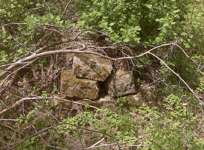
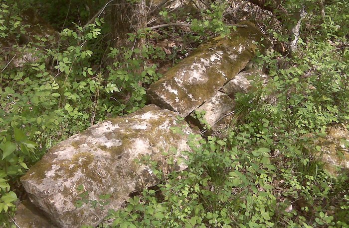
| Description | : | Directions to the cemetery: From Hwy 215 go north on 235th Road to the first curve. At that point the cemetery is on your right, in the field, and in the trees SE of you. As a result, you need to enter the field through the gate. The cemetery, when visited on 4/15/2010 had some trees down as a result of an ice storm two years ago. As a result, the GPS for the map will take you to a few graves, but the following GPS will get you to more graves. 37.46025, -93.20778. Between... Read More |
frequently asked questions (FAQ):
-
Where is Mayfield Cemetery?
Mayfield Cemetery is located at Tin Town, Polk County ,Missouri ,USA.
-
Mayfield Cemetery cemetery's updated grave count on graveviews.com?
0 memorials
-
Where are the coordinates of the Mayfield Cemetery?
Latitude: 37.4601800
Longitude: -93.2076400
Nearby Cemetories:
1. Glover Cemetery
Tin Town, Polk County, USA
Coordinate: 37.4585200, -93.1899200
2. Prock-Murray Cemetery
Pleasant Hope, Polk County, USA
Coordinate: 37.4729030, -93.2289350
3. Rock Prairie Cemetery
Rock Prairie, Polk County, USA
Coordinate: 37.4831390, -93.2026672
4. New Life Cemetery
Polk County, USA
Coordinate: 37.4810982, -93.2294006
5. Burdett-Cavin Cemetery
Polk County, USA
Coordinate: 37.4440000, -93.2390000
6. Union Grove Cemetery #2
Goodnight, Polk County, USA
Coordinate: 37.4240260, -93.1914420
7. Tiller Cemetery
Pleasant Hope, Polk County, USA
Coordinate: 37.4486008, -93.2613983
8. Mallard Cemetery
March, Dallas County, USA
Coordinate: 37.4538994, -93.1430969
9. Case Cemetery
Polk County, USA
Coordinate: 37.5116997, -93.1967010
10. Pleasant Hope Cemetery
Pleasant Hope, Polk County, USA
Coordinate: 37.4703102, -93.2731018
11. High Prairie Cemetery
Redtop, Dallas County, USA
Coordinate: 37.4891900, -93.1442000
12. Red Top Missionary Baptist Church Cemetery
Redtop, Dallas County, USA
Coordinate: 37.5137711, -93.1700821
13. Ankrom Cemetery
Polk County, USA
Coordinate: 37.5212780, -93.2347820
14. Fouts Cemetery
Pleasant Hope, Polk County, USA
Coordinate: 37.5213661, -93.2348709
15. Olive Free Will Chapel Cemetery
Olive, Dallas County, USA
Coordinate: 37.4556600, -93.1174000
16. New Hope Cemetery
Fruitland, Greene County, USA
Coordinate: 37.4006004, -93.2589035
17. Pleasant Ridge Cemetery
Fair Grove, Greene County, USA
Coordinate: 37.4144300, -93.1230800
18. Mount Olive Cemetery
Olive, Dallas County, USA
Coordinate: 37.4663315, -93.1046677
19. Viles Cemetery
Polk County, USA
Coordinate: 37.5410995, -93.2482986
20. Old Fair Grove Cemetery
Fair Grove, Greene County, USA
Coordinate: 37.3820648, -93.1525116
21. Schofield Cemetery
Schofield, Polk County, USA
Coordinate: 37.5520706, -93.2064972
22. Fair Grove First Baptist Church
Fair Grove, Greene County, USA
Coordinate: 37.3798500, -93.1507800
23. Union Mound Cemetery
March, Dallas County, USA
Coordinate: 37.4914093, -93.0956802
24. Graveyard Hill
Pleasant Hope, Polk County, USA
Coordinate: 37.5149800, -93.3203700