
| Memorials | : | 0 |
| Location | : | President, Venango County, USA |
| Coordinate | : | 41.4066000, -79.5314000 |
| Description | : | From Franklin, follow Route 62 North through Oil City and turn north onto Route 157. Go approximately 8 and 2/10 miles. Turn left onto S.R. 2023 toward President. Go 1 and 3/10 miles to a gas line lease area. Park here and walk up the main paved road toward President about 250 yards. There is a low tree stump with an orange painted band on it on the left bank. There is a path on the right of the stump that leads behind the stump and up to the cemetery. |
frequently asked questions (FAQ):
-
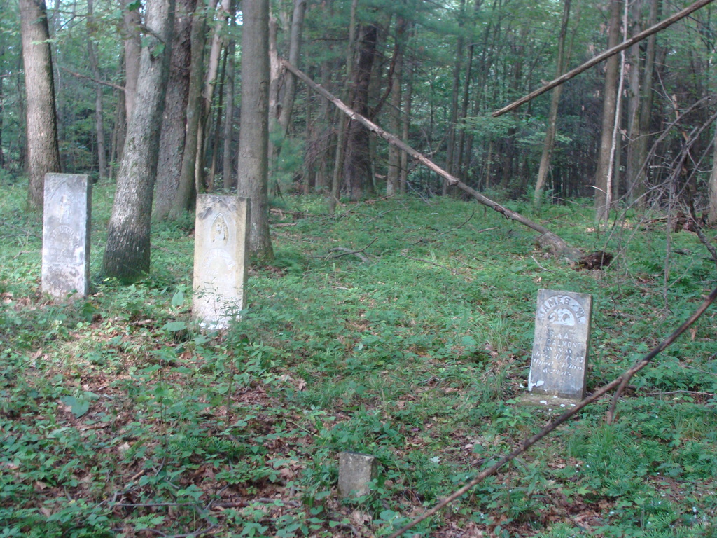
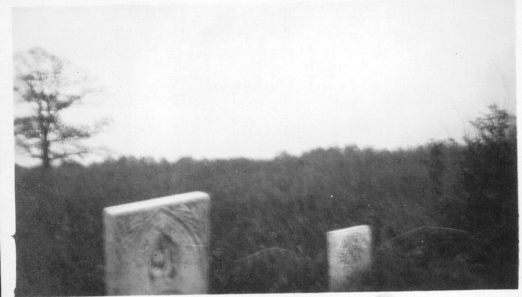
Where is McCalmont Cemetery?
McCalmont Cemetery is located at President, Venango County ,Pennsylvania ,USA.
-
McCalmont Cemetery cemetery's updated grave count on graveviews.com?
0 memorials
-
Where are the coordinates of the McCalmont Cemetery?
Latitude: 41.4066000
Longitude: -79.5314000
Nearby Cemetories:
1. Pine Hill Cemetery
Venus, Venango County, USA
Coordinate: 41.3656006, -79.5372009
2. President Cemetery
President, Venango County, USA
Coordinate: 41.4578370, -79.5583370
3. Craig Cemetery
Venango County, USA
Coordinate: 41.3725014, -79.5892029
4. Eagle Rock Cemetery
Venango County, USA
Coordinate: 41.4524910, -79.5766570
5. Old Methodist Cemetery
Clarion County, USA
Coordinate: 41.3671000, -79.4749000
6. Van Giesen Cemetery
President, Venango County, USA
Coordinate: 41.4696000, -79.5387000
7. Venus Cemetery
Fryburg, Clarion County, USA
Coordinate: 41.3605995, -79.4693985
8. Fertigs Cemetery
Fertigs, Venango County, USA
Coordinate: 41.3512200, -79.5825900
9. Heckathorn Cemetery
Cranberry Township, Venango County, USA
Coordinate: 41.3853400, -79.6235800
10. Holeman Cemetery
Forest County, USA
Coordinate: 41.4757996, -79.5030975
11. Sparks Cemetery
Eagle Rock, Venango County, USA
Coordinate: 41.4691650, -79.5837590
12. Perry Cemetery
Fertigs, Venango County, USA
Coordinate: 41.3446999, -79.5947037
13. Pioneer Cemetery
Fryburg, Clarion County, USA
Coordinate: 41.3540360, -79.4479899
14. Mount Zion Community Cemetery
Tionesta, Forest County, USA
Coordinate: 41.4201000, -79.4203000
15. Saint Michael Catholic Cemetery
Fryburg, Clarion County, USA
Coordinate: 41.3452000, -79.4390000
16. Dehner Cemetery
Strobleton, Clarion County, USA
Coordinate: 41.3642006, -79.4160995
17. Mount Collins Cemetery
Tionesta, Forest County, USA
Coordinate: 41.4902992, -79.4621964
18. Ashland United Methodist Cemetery
Clarion, Clarion County, USA
Coordinate: 41.3103000, -79.5603000
19. Old Methodist Cemetery
Tionesta, Forest County, USA
Coordinate: 41.4908829, -79.4561005
20. Old Dutch Cemetery
Clarion County, USA
Coordinate: 41.2999992, -79.5330963
21. Wolfs Corners Cemetery
Wolfs Corners, Clarion County, USA
Coordinate: 41.4177000, -79.3883000
22. Fern Trinity Evangelical Congregational Churchyard
Clarion County, USA
Coordinate: 41.2995000, -79.5548000
23. Riverside Cemetery
Tionesta, Forest County, USA
Coordinate: 41.4999504, -79.4566193
24. Calvary Cemetery
Oil City, Venango County, USA
Coordinate: 41.4286003, -79.6791992