
| Memorials | : | 0 |
| Location | : | Wolfcale, Van Wert County, USA |
| Coordinate | : | 40.8738365, -84.7796936 |
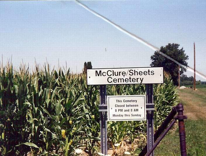
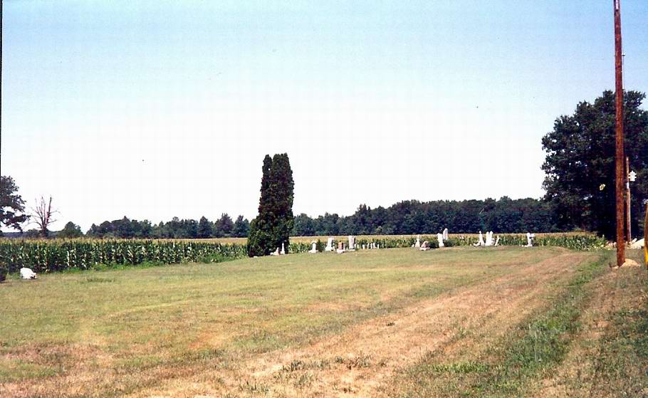
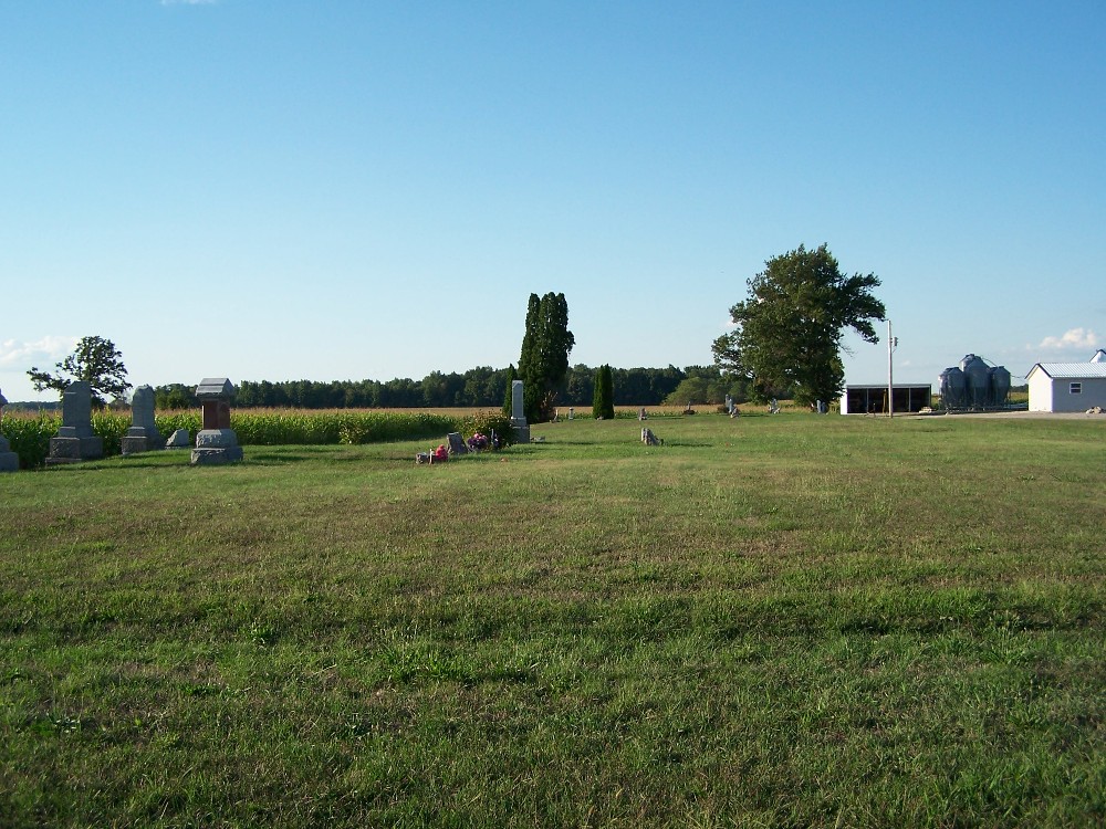
| Description | : | The cemetery is located on the north side of Monmouth Road (County Road 130) about 0.25 miles east of Kings Church Road (County Road 19). The cemetery is located in Harrison Township, Van Wert County, Ohio, and is # 12063 (McClure Cemetery / Sheets Cemetery) in “Ohio Cemeteries 1803-2003”, compiled by the Ohio Genealogical Society. The cemetery is registered with the Ohio Division of Real Estate and Professional Licensing (ODRE) as Mcclure/Sheets Cemetery with registration license number CGR.0000982836. The U.S. Geological Survey (USGS) Geographic Names Information System (GNIS) feature ID for the cemetery is 1043092 (McClure Cemetery /... Read More |
frequently asked questions (FAQ):
-
Where is McClure-Sheets Cemetery?
McClure-Sheets Cemetery is located at Monmouth Road (County Road 130) Wolfcale, Van Wert County ,Ohio , 45832USA.
-
McClure-Sheets Cemetery cemetery's updated grave count on graveviews.com?
0 memorials
-
Where are the coordinates of the McClure-Sheets Cemetery?
Latitude: 40.8738365
Longitude: -84.7796936
Nearby Cemetories:
1. Kings-Bethlehem Cemetery
Van Wert County, USA
Coordinate: 40.8838997, -84.7842026
2. Ramsey Cemetery
Van Wert County, USA
Coordinate: 40.8731560, -84.7537600
3. Pancake-Richey-Reidenbach Cemetery
Convoy, Van Wert County, USA
Coordinate: 40.8880820, -84.7557020
4. Clark Chapel Cemetery
Adams County, USA
Coordinate: 40.8991080, -84.8238250
5. Redeemer Lutheran Cemetery
Convoy, Van Wert County, USA
Coordinate: 40.8880000, -84.7220000
6. Immanuel Lutheran Church Cemetery
Decatur, Adams County, USA
Coordinate: 40.8701515, -84.8423233
7. Bethel Cemetery
Decatur, Adams County, USA
Coordinate: 40.8826430, -84.8424450
8. Saint Johns Cemetery
Van Wert County, USA
Coordinate: 40.8880997, -84.7174988
9. Cooper Cemetery
Convoy, Van Wert County, USA
Coordinate: 40.9250250, -84.7846700
10. Glenn Presbyterian Cemetery
Van Wert County, USA
Coordinate: 40.8590012, -84.7070007
11. Mentzer Cemetery
Convoy, Van Wert County, USA
Coordinate: 40.9312000, -84.7647000
12. Feigert Family Cemetery
Van Wert County, USA
Coordinate: 40.8223180, -84.7366050
13. Wren Mausoleum
Wren, Van Wert County, USA
Coordinate: 40.8060000, -84.7751000
14. Harrison Baptist Cemetery
Van Wert, Van Wert County, USA
Coordinate: 40.8549450, -84.6892090
15. Wren Cemetery
Wren, Van Wert County, USA
Coordinate: 40.8011017, -84.7771988
16. Evangelical Protestant Cemetery
Convoy, Van Wert County, USA
Coordinate: 40.8225479, -84.7049637
17. Mount Zion Cemetery
Rivare, Adams County, USA
Coordinate: 40.8127500, -84.8412220
18. Salem Church Cemetery
Salem, Adams County, USA
Coordinate: 40.8335600, -84.8669900
19. Pring-Pence-Springer Cemetery
Van Wert County, USA
Coordinate: 40.7935066, -84.7854233
20. Old Mount Tabor Cemetery
Rivare, Adams County, USA
Coordinate: 40.8035590, -84.8318960
21. Flat Rock Evangelical Lutheran Cemetery
East Liberty, Allen County, USA
Coordinate: 40.9476900, -84.8243800
22. East Wren Cemetery
Wren, Van Wert County, USA
Coordinate: 40.7950974, -84.7514114
23. Mount Tabor Cemetery
Decatur, Adams County, USA
Coordinate: 40.8011017, -84.8328018
24. IOOF Cemetery
Convoy, Van Wert County, USA
Coordinate: 40.9306330, -84.6990970