
| Memorials | : | 0 |
| Location | : | Chandler, Lincoln County, USA |
| Coordinate | : | 35.7244610, -96.9292400 |
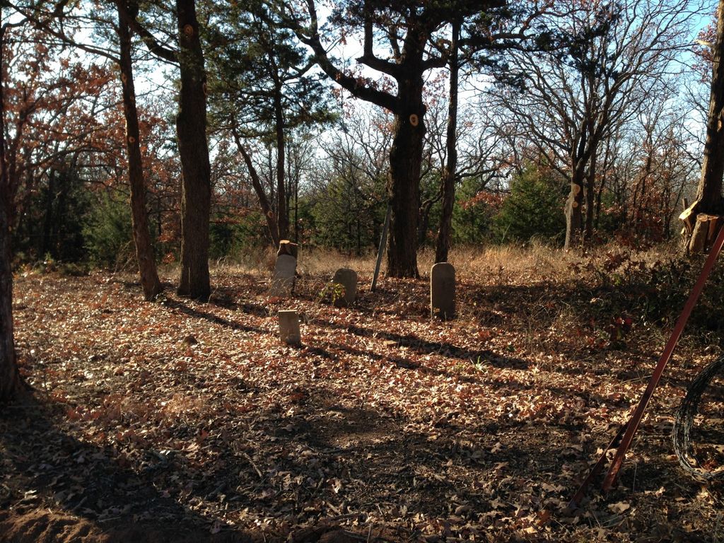
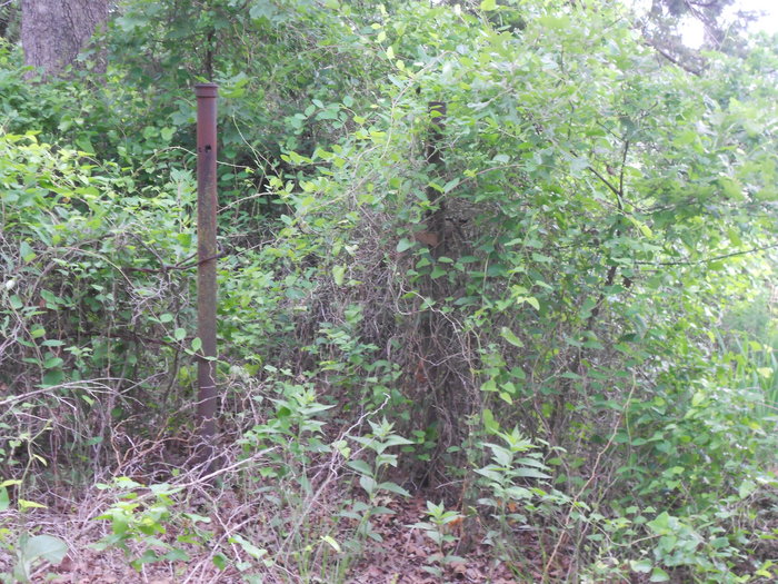
| Description | : | The cemetery is located on the southeast corner of the junction of EO890 and N3410 Roads. Go north from Chandler on Highway 18 past the turnpike to the first section line, known as the Lake Road. Go due east two and three-quarters of a mile, and that is the intersection of the two roads named above. The intersection is marked. The cemetery cannot be entered from the east side because of a barbwire fence. The best entry is about twenty yards west of the intersection on the north side. However, the visitor is advised to bring a machete because... Read More |
frequently asked questions (FAQ):
-
Where is McCorkle Cemetery?
McCorkle Cemetery is located at near intersection of E0890 Rd and N3410 Rd Chandler, Lincoln County ,Oklahoma ,USA.
-
McCorkle Cemetery cemetery's updated grave count on graveviews.com?
0 memorials
-
Where are the coordinates of the McCorkle Cemetery?
Latitude: 35.7244610
Longitude: -96.9292400

Nearby Cemetories:
1. McKenzie Family Cemetery
Chandler, Lincoln County, USA
Coordinate: 35.7063770, -96.9296480
2. Our Lady of Sorrows Catholic Cemetery
Chandler, Lincoln County, USA
Coordinate: 35.7100000, -96.9150100
3. Oak Park Cemetery
Chandler, Lincoln County, USA
Coordinate: 35.7000008, -96.9028015
4. Clearview Cemetery
Chandler, Lincoln County, USA
Coordinate: 35.6986008, -96.9011002
5. Wright Cemetery
Chandler, Lincoln County, USA
Coordinate: 35.7180260, -96.8767750
6. Pleasant Ridge Cemetery
Chandler, Lincoln County, USA
Coordinate: 35.7690010, -96.9329987
7. Sweet Home Cemetery
Lincoln County, USA
Coordinate: 35.7313480, -96.9996190
8. Cardwell Cemetery
Chandler, Lincoln County, USA
Coordinate: 35.6955986, -96.8672028
9. Star Valley Cemetery
Warwick, Lincoln County, USA
Coordinate: 35.6657982, -96.9546967
10. Rock Spring Cemetery
Lincoln County, USA
Coordinate: 35.7902985, -96.9460983
11. Mount Moriah Cemetery
Lincoln County, USA
Coordinate: 35.6460991, -96.9460983
12. Morning Star Cemetery
Chandler, Lincoln County, USA
Coordinate: 35.6730995, -96.8394012
13. Gardner Cemetery
Lincoln County, USA
Coordinate: 35.7242012, -97.0516968
14. New Zion Cemetery
Chandler, Lincoln County, USA
Coordinate: 35.6893080, -96.8056200
15. Valley Queen Cemetery
Tryon, Lincoln County, USA
Coordinate: 35.8410988, -96.9214020
16. Bethel Greenwood Cemetery
Kendrick, Lincoln County, USA
Coordinate: 35.8113170, -96.8243640
17. Harner Farm Cemetery
Wellston, Lincoln County, USA
Coordinate: 35.6151200, -97.0034900
18. Carney Cemetery
Carney, Lincoln County, USA
Coordinate: 35.8272018, -97.0188980
19. Davenport Cemetery
Davenport, Lincoln County, USA
Coordinate: 35.7099991, -96.7730026
20. Wellston Cemetery
Wellston, Lincoln County, USA
Coordinate: 35.7052994, -97.0858002
21. Kendrick Cemetery
Kendrick, Lincoln County, USA
Coordinate: 35.7813988, -96.7863998
22. Glover Cemetery
Davenport, Lincoln County, USA
Coordinate: 35.6438386, -96.8037879
23. Dunkard Cemetery
Davenport, Lincoln County, USA
Coordinate: 35.6655998, -96.7861023
24. Bethlehem Cemetery
Fallis, Lincoln County, USA
Coordinate: 35.7536011, -97.0867004