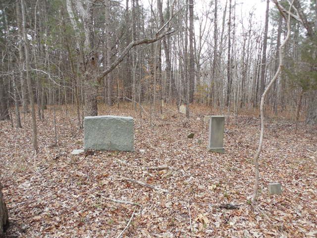
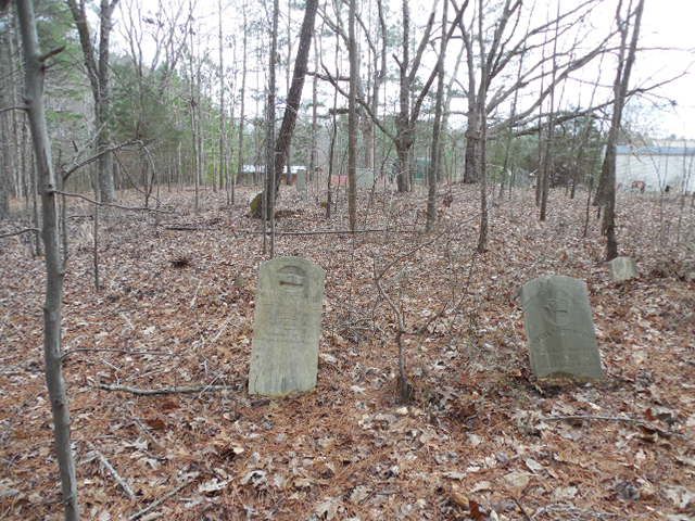
| Memorials | : | 0 |
| Location | : | Franklinton, Franklin County, USA |
| Coordinate | : | 36.1168000, -78.5022400 |
| Description | : | Follow Highway 56 about 3 1/2 miles west of Franklinton to where old Creedmore road leaves highway - turn left on old old Creedmore road and cemetery is about 150 yards on right from road and upon the hill in the field. |
frequently asked questions (FAQ):
-
Where is McGhee Family Cemetery?
McGhee Family Cemetery is located at Franklinton, Franklin County ,North Carolina ,USA.
-
McGhee Family Cemetery cemetery's updated grave count on graveviews.com?
0 memorials
-
Where are the coordinates of the McGhee Family Cemetery?
Latitude: 36.1168000
Longitude: -78.5022400
Nearby Cemetories:
1. Long Cemetery
Franklinton, Franklin County, USA
Coordinate: 36.1084600, -78.5049500
2. Evans Cemetery
Franklinton Township, Franklin County, USA
Coordinate: 36.1150800, -78.4913500
3. Nuttall Cemetery
Franklinton, Franklin County, USA
Coordinate: 36.1052600, -78.4970500
4. Levister Family Cemetery
Franklinton, Franklin County, USA
Coordinate: 36.1076800, -78.4918500
5. Morton Family Cemetery
Franklinton, Franklin County, USA
Coordinate: 36.1224300, -78.5161200
6. Kearney Family Cemetery
Franklinton, Franklin County, USA
Coordinate: 36.1287000, -78.4843400
7. Sandling Cemetery
Franklinton Township, Franklin County, USA
Coordinate: 36.1382100, -78.4915700
8. Hawkins Chapel Baptist Church Cemetery
Brassfield Township, Granville County, USA
Coordinate: 36.1348706, -78.5241668
9. Hawkins Chapel Church Cemetery
Franklinton, Franklin County, USA
Coordinate: 36.1351900, -78.5239900
10. Sandling Family Cemetery
Franklinton, Franklin County, USA
Coordinate: 36.1418400, -78.4953800
11. Kinches Chapel Church Cemetery
Franklinton, Franklin County, USA
Coordinate: 36.0973700, -78.5239700
12. Fuller Family Cemetery
Franklin County, USA
Coordinate: 36.1112800, -78.4686300
13. Mount Carmel Christian Church Cemetery
Granville County, USA
Coordinate: 36.1207040, -78.5380040
14. Popes Chapel United Church of Christ #1 Cemetery
Pocomoke, Franklin County, USA
Coordinate: 36.0840590, -78.5064500
15. Holmes Family Cemetery
Franklinton Township, Franklin County, USA
Coordinate: 36.0889100, -78.5247300
16. Popes Chapel United Church of Christ #2 Cemetery
Pocomoke, Franklin County, USA
Coordinate: 36.0826790, -78.5065410
17. Mount Olivet Baptist Church Cemetery
Franklin County, USA
Coordinate: 36.1500000, -78.4896000
18. Woodlief Family Graves
Brassfield Township, Granville County, USA
Coordinate: 36.1197900, -78.5465900
19. Evergreen Cemetery
Franklinton, Franklin County, USA
Coordinate: 36.0942001, -78.4633026
20. Grissom Cemetery
Franklinton, Franklin County, USA
Coordinate: 36.0789200, -78.5225800
21. Howell Cooke Family Cemetery
Franklin County, USA
Coordinate: 36.0802500, -78.4747100
22. Wesley Chapel United Methodist Church Cemetery
Pocomoke, Franklin County, USA
Coordinate: 36.0839480, -78.5361750
23. Family Cemetery
Franklin County, USA
Coordinate: 36.1136200, -78.4470600
24. Fairview Cemetery
Franklinton, Franklin County, USA
Coordinate: 36.1016998, -78.4477997


